Browse / United Kingdom / England / Sale
Sale
Englandtown

Sale
Demographic figures from UK Office for National Statistics. Overview below cites Wikipedia and may reference a different year.
City facts
Facts from Wikidata (CC0).
Overview
Sale is a town in the Metropolitan Borough of Trafford of Greater Manchester, England. It lies on the south bank of the River Mersey, 2 miles (3 km) south of Stretford, 3 miles (5 km) north-east of Altrincham and 5 miles (8 km) south-west of Manchester. Sale lies within the historic county boundaries of Cheshire and became part of Greater Manchester in 1974. At the 2021 census, the Sale built-up area, as defined by the Office for National Statistics, had a population of 62,550.
Read more on WikipediaHistory & geography
History
A flint arrowhead discovered in Sale suggests a prehistoric human presence at the location, but there is no further evidence of activity in the area until the Roman period. A 4th-century hoard of 46 Roman coins was discovered in Ashton upon Mersey, one of four known hoards dating from that period discovered within the Mersey basin. Sale lies along the line of the Roman road which runs between the fortresses at Chester (Deva Victrix) and York (Eboracum), via the fort at Manchester (Mamucium); the present-day A56 follows the route of the road through the town. and the name of Sale itself, are Anglo-Saxon in origin, which indicates the town was founded in the 7th or 8th centuries. The Old English salh, from which "Sale" is derived, means "at the sallow tree", and Ashton upon Mersey means "village or farm near the ash trees". Although the townships of Sale and Ashton upon Mersey were not mentioned in the Domesday Book of 1086, that may be because only a partial survey was taken. The first recorded occurrences of Sale and Ashton upon Mersey are in 1199–1216 and 1260 respectively. The settlements were referred to as townships rather than manors, which suggests further evidence of Anglo-Saxon origins as townships were developed by the Saxons. The manor of Sale was one of 30 held by William FitzNigel, a powerful 12th century baron in north Cheshire. He divided it between Thomas de Sale and Adam de Carrington, who acted as Lords of the Manor on FitzNigel's behalf. On de Sale's death, his land passed to his son-in-law, John Holt; de Carrington's land passed into the ownership of Richard de Massey, a member of the Masseys who were Barons of Dunham. Sale descended through the Holt and Massey families until the 17th century, when their respective lands were sold. It was…
Geography
At (53.4246, −2.322), Sale lies to the north and south of the neighbouring towns of Altrincham and Stretford respectively and south-west of Manchester city centre. The district of Wythenshawe is to the south-east. Sale is in the Mersey Valley, about above sea level on generally flat ground. The River Mersey, which runs just north of the town, Sale's local drift geology consists of sand and gravel deposited about 10,000 years ago, during the last ice age. The bedrock is Bunter sandstone in the west and Triassic waterstone in the east. United Utilities obtains the town's drinking water from the Lake District. Sale's climate is generally temperate, like the rest of Greater Manchester. The mean highest and lowest temperatures ( and ) are slightly above the national average, while the annual rainfall () and average hours of sunshine (1394.5 hours) are respectively above and below the national averages. The town's main districts are Ashton upon Mersey in the north-west, Sale Moor in the south-east, and Brooklands in the south-west. The main commercial area is Sale town centre, in the central northern area of the town, but smaller commercial centres are also found in Ashton upon Mersey and Sale Moor. Brooklands is the most densely populated area. Most of the parks, including Worthington and Walton, are in the central and southern areas, leaving Ashton upon Mersey and Sale Moor with a shortage of accessible green space. Sale's built environment is varied, with a mixture of modern and old buildings. Some terraces, semi-detached houses and villas, survive from the Victorian period, although many of the larger houses have been converted into flats. Many semi-detached houses survive from the 1930s, when there was a need for new housing in the town as a result of a…
Excerpted from the corresponding Wikipedia article (CC BY-SA).
Geography
Coordinates & boundaries from the US Census TIGER/Line shapefiles.
Climate
Air quality
Walkability
Amenities nearby
Wildlife & biodiversity
Earthquake history
Photos
Sights & places nearby
Notable people from here
Nearby places in England
Geography & sun
Elevation, sunrise/sunset and daylight from Open-Meteo. Solar climatology from NASA POWER.
Nearby airports
Public attention
Pageview totals from the Wikimedia Pageviews API.
Books about Sale

![[Report 1943]](https://covers.openlibrary.org/b/id/10990242-M.jpg)
![[Report 1933]](https://covers.openlibrary.org/b/id/11797424-M.jpg)
Search results from Open Library.
Recent natural events nearby
Ground air-quality sensors
Recently spotted species
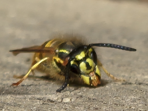
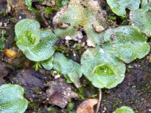
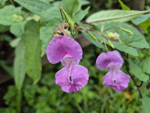
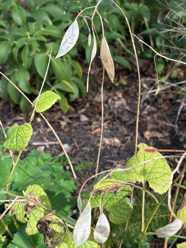
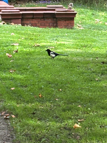
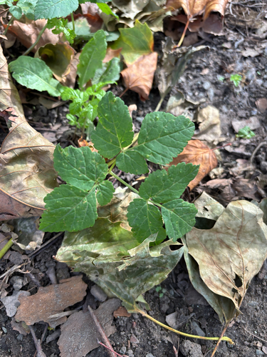
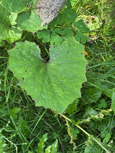
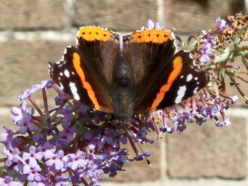
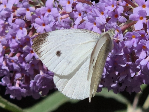
Research-grade observations from iNaturalist (within ~15 mi).
Events
Gallery
Official Identifiers
ONS — UK Office for National Statistics
- ONS code
- osgb4000000074547050
- Local type
- Town
- Region
- North West
api.postcodes.io / OS Open Names
Sources
- • Wikipedia
- • Wikidata
- • iNaturalist
- • Open-Meteo / sunrise-sunset.org
- • Wikipedia Pageviews API
- • Open Library
- • ONS / OS Open Names — UK official place gazetteer, via api.postcodes.io (OS code, local type, county/unitary, district/borough, region)
- • ONS — UK Office for National Statistics — api.postcodes.io / OS Open Names