Browse / United Kingdom / England / Hull
Hull
Englandcity

Hull
Total population
260,700
Founded
1101
Demographic figures from UK Office for National Statistics. Overview below cites Wikipedia and may reference a different year.
City facts
Facts from Wikidata (CC0).
Overview
Kingston upon Hull, or simply Hull, is a port city and unitary authority area in the East Riding of Yorkshire, England. It lies upon the River Hull at its confluence with the Humber Estuary, 25 miles (40 km) inland from the North Sea. It is a tightly bounded city which excludes the majority of its suburbs; with a population of 273,257 (2025), it is the fourth-largest city in the Yorkshire and the Humber region. The built-up area has a population of 436,300.
Read more on WikipediaHistory & geography
History
Kingston upon Hull stands on the north bank of the Humber Estuary at the mouth of its tributary, the River Hull. The valley of the River Hull has been inhabited since the early Neolithic period, but there is little evidence of a substantial settlement in the area of the present city. The area was attractive to people because it gave access to a prosperous hinterland and navigable rivers but the site was poor, being remote, low-lying and with no fresh water. It was originally an outlying part of the hamlet of Myton, named Wyke. The name is thought to originate either from a Scandinavian word Vik meaning inlet or from the Saxon Wic meaning dwelling place or refuge. The River Hull was a good haven for shipping, whose trade included the export of wool from Meaux Abbey, which owned Myton. In 1293, the town of Wyke was acquired from the abbey by King Edward I, who, on 1 April 1299, granted it a royal charter that renamed the settlement King's town upon Hull or Kingston upon Hull. The charter is preserved in the archives of the Guildhall. When first created, the borough straddled the ancient parishes of Hessle and North Ferriby, but was remote from either parish church. A chapel of ease dedicated to Holy Trinity was built to serve the part of the borough in Hessle parish; that church subsequently became Hull Minster. St Mary's Church similarly began as a chapel of ease for the part of the borough in North Ferriby parish. In 1440, a further charter incorporated the town and instituted local government consisting of a mayor, a sheriff and twelve aldermen. The port served as a base for Edward I during the First War of Scottish Independence and later developed into the foremost port on the east coast of England. It prospered by exporting wool and woollen cloth, and importing…
Geography
{| class="wikitable mw-collapsible" !Place !Distance !Direction !Relation |- |London | |South |Capital city |- |Lincoln | |South |Nearby city |- |Doncaster | |South-west |Nearby city |- |York | |North-west |Historic county town |- |Beverley | |North |County town |- |Brough |12 miles (19 km) |West |Town |} Kingston upon Hull is on the northern bank of the Humber Estuary. The parishes of Drypool, Marfleet, Sculcoates, and most of Sutton parish, were absorbed within the borough of Hull in the 19th and 20th centuries. Much of their area has been built over, and socially and economically they have long been inseparable from the city. Only Sutton retained a recognisable village centre in the late 20th century, but on the south and east the advancing suburbs had already reached it. The four villages were, nevertheless, distinct communities, of a largely rural character, until their absorption in the borough—Drypool and Sculcoates in 1837, Marfleet in 1882, and Sutton in 1929. The current boundaries of the city are tightly drawn and exclude many of the metropolitan area's nearby villages, of which Cottingham is the largest. The city is surrounded by the rural East Riding of Yorkshire. Some areas of Hull lie on reclaimed land at or below sea level. The Hull Tidal Surge Barrier is at the point where the River Hull joins the Humber Estuary and is lowered at times when unusually high tides are expected. It is used between 8 and 12 times per year and protects the homes of approximately 10,000 people from flooding. Due to its low level, Hull is expected to be at increasing levels of risk from flooding due to global warming. Historically, Hull has been affected by tidal and storm flooding from the Humber; the last serious floods were in the 1950s, in 1953, 1954…
Excerpted from the corresponding Wikipedia article (CC BY-SA).
Geography
Coordinates & boundaries from the US Census TIGER/Line shapefiles.
Climate
Air quality
Walkability
Amenities nearby
Wildlife & biodiversity
Earthquake history
Photos
Sights & places nearby
Notable people from here


People born within ~10 km, from Wikidata (CC0). Click any name for their Wikipedia article.
Nearby places in England
Geography & sun
Elevation, sunrise/sunset and daylight from Open-Meteo. Solar climatology from NASA POWER.
Nearby airports
Public attention
Pageview totals from the Wikimedia Pageviews API.
Books about Hull
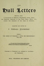

Search results from Open Library.
Recent natural events nearby
Ground air-quality sensors
Recently spotted species



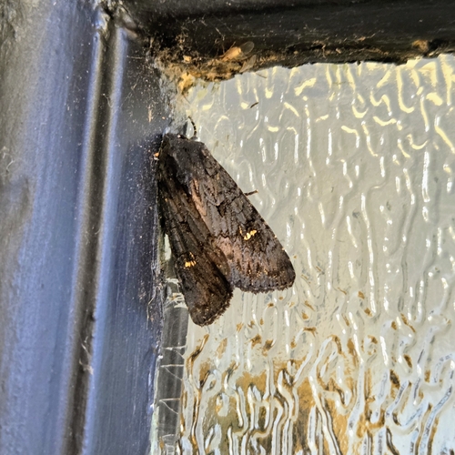
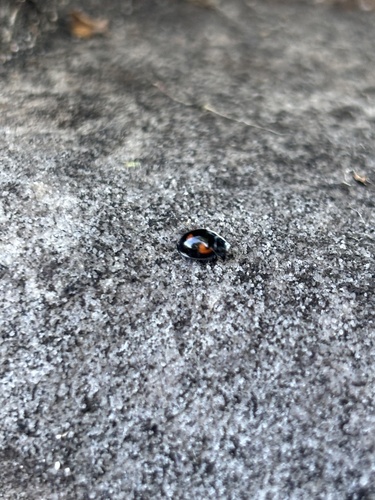

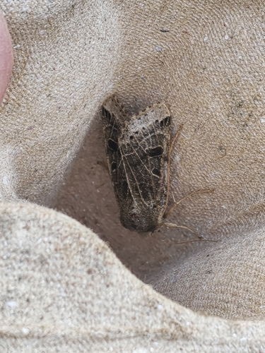

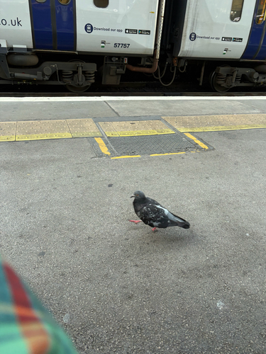
Research-grade observations from iNaturalist (within ~15 mi).
Events
Notable, recurring, and historical events associated with Hull, sourced from Wikidata.
Source: Wikidata (CC0).
Gallery
Sources
- • Wikipedia
- • Wikidata
- • iNaturalist
- • Open-Meteo / sunrise-sunset.org
- • Wikipedia Pageviews API
- • Open Library
- • Wikidata SPARQL (CC0) — population, area, elevation, inception, head of government, Commons image