Browse / United Kingdom / Scotland / Kilwinning
Kilwinning
Scotlandtown

Kilwinning
Total population
21,693
Air quality index
Demographic figures from UK Office for National Statistics. Overview below cites Wikipedia and may reference a different year.
City facts
Overview
Kilwinning is a town in North Ayrshire, Scotland, located on the banks of the River Garnock in Ayrshire, about 21 miles (34 km) southwest of Glasgow. Kilwinning's neighbours are the coastal towns of Stevenston to the west and Irvine to the south, while inland lies Dalry to the north. It is known as "The Crossroads of Ayrshire". Kilwinning was also a Civil Parish. The 2001 Census recorded the town as having a population of 15,908. According to the 2022 census, the population of Kilwinning is around 16,990.
Read more on WikipediaHistory & geography
History
Kilwinning dates back to the 8th century. The [https://web.archive.org/web/20110128112852/http://www.irvinebay.co.uk/our-changing-bay/35_community_archaeology_project_kilwinning Kilwinning Community Archaeology Project] carried out a dig in Kilwinning Abbey in 2010, which revealed much about the life of the people in the area during the medieval period. According to John Hay, once the headmaster of the parish school in Kilwinning, "North Ayrshire has a history of religion stretching back to the very beginning of missionary enterprise in Scotland. The Celtic Christians or Culdees of the period of St Columba and St Mungo found here, in this part of Scotland, a fertile field for the propagation of the faith. Kilmarnock, Kilbride, Kilbirnie, are all, like Kilwinning, verbal evidence of the existence of 'Cillean' or cells of the Culdee or Celtic Church." The original town was situated at the Bridgend and Corsehill while the other bank of the river was the site of the abbey, its outbuildings, orchards, doocot, etc. The parish was in the ownership of Kelso Abbey from about 1140. Abbot Adam's Bridge, was constructed in mediaeval times with much of the original structure standing today. The bridge was widened in 1859. After the dissolution of the monasteries, Kilwinning passed to the Earl of Eglinton. The Abbey church had been partly destroyed during the Reformation and a new parish church built in 1775. Lord Eglinton restored the Abbey church tower in 1789 and then replaced it in 1814.
Excerpted from the corresponding Wikipedia article (CC BY-SA).
Geography
Coordinates & boundaries from the US Census TIGER/Line shapefiles.
Climate
Air quality
Current readings from Open-Meteo Air Quality API (Copernicus CAMS European reanalysis).
Walkability
Amenities nearby
Wildlife & biodiversity
Most-observed species
- Herring GullLarus argentatus Pontoppidan, 1763 · Aves19,908
- Western JackdawColoeus monedula (Linnaeus, 1758) · Aves18,350
- RookCorvus frugilegus Linnaeus, 1758 · Aves15,513
- Carrion CrowCorvus corone Linnaeus, 1758 · Aves13,917
- House SparrowPasser domesticus (Linnaeus, 1758) · Aves13,100
- Lesser Black-backed GullLarus fuscus Linnaeus, 1758 · Aves10,803
- Common Wood-PigeonColumba palumbus Linnaeus, 1758 · Aves10,314
- Eurasian BlackbirdTurdus merula Linnaeus, 1758 · Aves9,959
Citizen-science & research observations from the Global Biodiversity Information Facility (GBIF).
Earthquake history
Most recent
- M 3.1 — 2021-11-1618 km NW of Lochgilphead, United Kingdom
- M 2.5 — 2018-08-301 km ENE of Gourock, United Kingdom
- M 2.6 — 2017-11-012 km NNW of Tarbert, United Kingdom
- M 3.6 — 2006-12-262 km NW of Dumfries, United Kingdom
- M 2.5 — 2005-12-313 km WSW of Auchterarder, United Kingdom
- M 2.5 — 2003-06-2012 km NNW of Balfron, United Kingdom
Events from the USGS Earthquake Catalog (global) (FDSN Event Web Service).
Photos
Sights & places nearby
Notable people from here


People born within ~10 km, from Wikidata (CC0). Click any name for their Wikipedia article.
Nearby places in Scotland
Geography & sun
Elevation, sunrise/sunset and daylight from Open-Meteo. Solar climatology from NASA POWER.
Nearby airports
Public attention
Pageview totals from the Wikimedia Pageviews API.
Books about Kilwinning


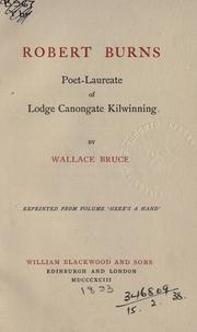
Search results from Open Library.
Recent natural events nearby
Ground air-quality sensors
Recently spotted species
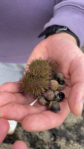
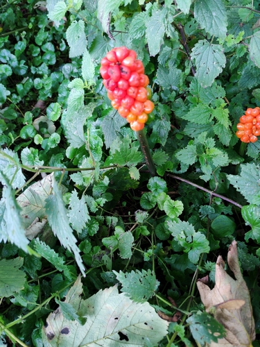
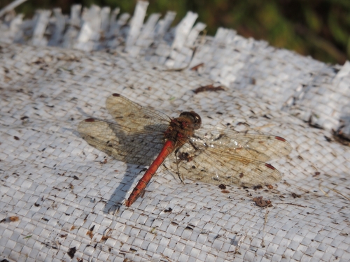
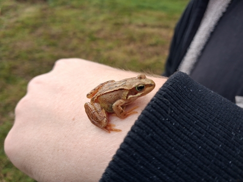
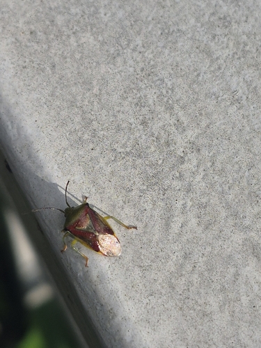
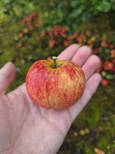
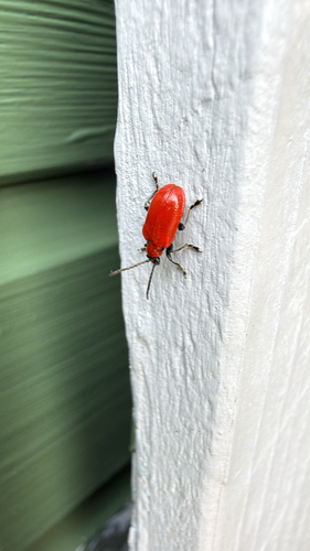
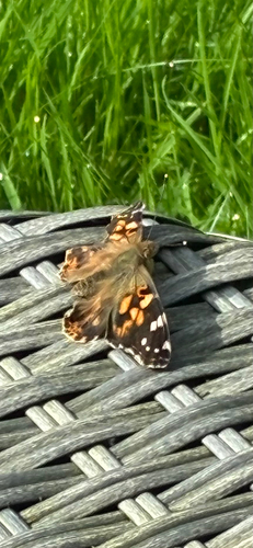
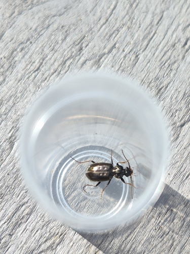
Research-grade observations from iNaturalist (within ~15 mi).
Events
Gallery
Geotagged photos within ~6 miles of Kilwinning, from Wikimedia Commons contributors.


_-_Kilwinning_-_geograph.org.uk_-_5782806.jpg)


Photos via Wikimedia Commons — see each image page for license & attribution.
Official Identifiers
ONS — UK Office for National Statistics
- ONS code
- osgb4000000074570762
- Local type
- Town
- Region
- Scotland
api.postcodes.io / OS Open Names
Sources
- • Wikipedia
- • Wikimedia Commons
- • Wikidata
- • Open-Meteo Air Quality (CAMS)
- • USGS Earthquake Catalog (global feed)
- • GBIF (Global Biodiversity Information Facility)
- • iNaturalist
- • Open-Elevation
- • Open-Meteo / sunrise-sunset.org
- • Wikipedia Pageviews API
- • Open Library
- • Wikidata SPARQL (CC0) — population, area, elevation, inception, head of government, Commons image
- • ONS / OS Open Names — UK official place gazetteer, via api.postcodes.io (OS code, local type, county/unitary, district/borough, region)
- • ONS — UK Office for National Statistics — api.postcodes.io / OS Open Names