Browse / United Kingdom / England / Kirton in Lindsey
Kirton in Lindsey
Englandtown

Kirton in Lindsey
Total population
2,873
Demographic figures from UK Office for National Statistics. Overview below cites Wikipedia and may reference a different year.
City facts
Overview
Kirton in Lindsey, also abbreviated to Kirton Lindsey, is a market town and civil parish in North Lincolnshire, England. It is 7 miles (11 km) south-east from Scunthorpe.
Read more on WikipediaHistory & geography
History
The name Kirton derives from the Old Norse kirkja and the Old English tūn meaning 'settlement with a church'. Catherine Parr, the sixth wife of Henry VIII lived at Kirton-in-Lindsey after she married her first husband, Sir Edward Burgh. Edward's father, Sir Thomas Burgh, 1st Baron Burgh was a steward to the manor of the soke of Kirton-in-Lindsey. In October 1530, Sir Thomas secured a joint patent in survivorship with his son, Sir Edward Burgh, granting them a modest manor.
Geography
The 2011 Census recorded a total resident population of 2,873. The town is situated half on top, and half on the side of a ridge, part of the Lincoln Cliff. It is south from the M180 motorway and south from the centre of Scunthorpe. The B1398 Lincoln to Scunthorpe road passes through the town, as does the B1400 which runs down the north side of the ridge to Messingham as the Cleatham Road. The A15 road is to the east. Grayingham, and the Lincolnshire boundary along the B1205, is to the south. The town is served on Mondays to Fridays only (one train each way ) by Kirton Lindsey railway station, on the B1400 is the site of the former RAF Kirton in Lindsey. The town is also served by the 103 bus route which runs Monday to Saturday, every 2 hours, between Lincoln & Scunthorpe. North of the town, on the ridge next to the B1398, is Mount Pleasant Mill (where flour is still produced & bread is made from it in the bakery alongside) & from here there is a view over the Trent Valley over to the west.
Excerpted from the corresponding Wikipedia article (CC BY-SA).
Geography
Coordinates & boundaries from the US Census TIGER/Line shapefiles.
Climate
Air quality
Walkability
Amenities nearby
Wildlife & biodiversity
Earthquake history
Photos
Sights & places nearby
Notable people from here


People born within ~10 km, from Wikidata (CC0). Click any name for their Wikipedia article.
Nearby places in England
Geography & sun
Nearby airports
Public attention
Books about this place
Recent natural events nearby
Ground air-quality sensors
Recently spotted species
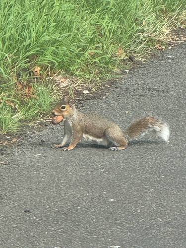
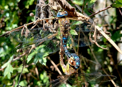
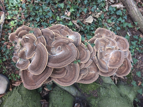
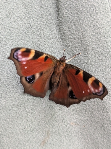
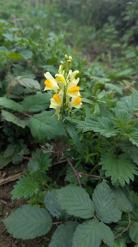
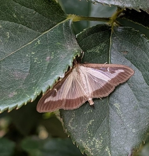
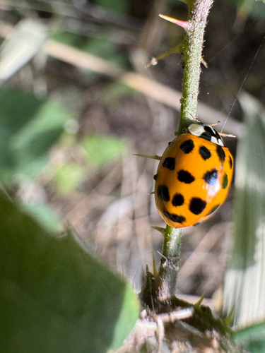
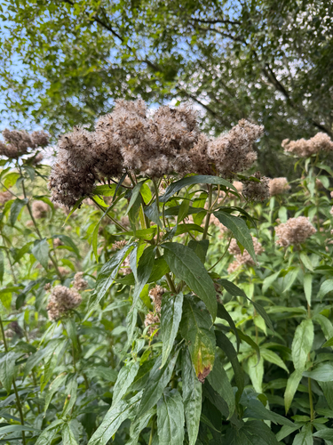
Research-grade observations from iNaturalist (within ~15 mi).
Events
Gallery
Official Identifiers
ONS — UK Office for National Statistics
- ONS code
- osgb4000000074574884
- Local type
- Town
- Region
- Yorkshire and the Humber
api.postcodes.io / OS Open Names
Sources
- • Wikipedia
- • Wikidata
- • iNaturalist
- • ONS / OS Open Names — UK official place gazetteer, via api.postcodes.io (OS code, local type, county/unitary, district/borough, region)
- • ONS — UK Office for National Statistics — api.postcodes.io / OS Open Names