Browse / United Kingdom / England / Leicester
Leicester
Englandcity

Leicester
Total population
305,700
Demographic figures from UK Office for National Statistics. Overview below cites Wikipedia and may reference a different year.
City facts
Sister cities
Facts from Wikidata (CC0).
Overview
Leicester is a city, unitary authority area, and the county town of Leicestershire, in the East Midlands of England. It is the largest city in the East Midlands, with a population of 383,116 in 2025. The greater Leicester urban area had a population of 559,017 in 2021, making it the 11th most populous in England, and the 13th most populous in the United Kingdom. For three years running, the annual Good Growth for Cities Index has ranked Leicester as the best place to live and work in the East Midlands. The latest study, which is based on a range of economic factors, rated Leicester as the best performing city in the East Midlands in 2024 and 20th overall out of 52 other UK cities.
Read more on WikipediaHistory & geography
History
Leicester is one of the oldest cities in England, with a history going back at least two millennia. The native Iron Age settlement encountered by the Romans at the site seems to have developed in the 2nd or 1st centuries BC, around a century or so before the arrival of the Romans. Little is known about this settlement or the condition of the River Soar at this time, although roundhouses excavated from this era seem to have clustered along roughly of the east bank of the Soar. This area of the Soar was split into two channels: a main stream to the east and a narrower channel on the west, with a presumably marshy island between. The settlement seems to have controlled a ford across the larger channel. The later Roman name was a latinate form of the Brittonic word for "ramparts" (cf. Gaelic rath and the nearby villages of Ratby and Ratcliffe The Celtic tribe holding the area was later recorded as the "Coritanians" but an inscription recovered in 1983 showed this to have been a corruption of the original "Corieltauvians". The Corieltauvians may have ruled over roughly the area of the East Midlands. It is believed that the Romans arrived in the Leicester area around AD 47, during their conquest of southern Britain. The Corieltauvian settlement lay near a bridge on the Fosse Way, a Roman road between the legionary camps at Isca (Exeter) and Lindum (Lincoln). It remains unclear whether the Romans fortified and garrisoned the location, but it slowly developed from around the year 50 onwards as the tribal capital of the Corieltauvians under the name Ratae Corieltauvorum. In the 2nd century, it received a forum and bathhouse. In 2013, the discovery of a Roman cemetery found just outside the old city walls and dating back to AD 300 was announced. of the History of the…
Geography
The Office for National Statistics has defined a Leicester Urban Area (LUA); broadly the immediate Leicester conurbation, although without administrative status. The LUA contains the unitary authority area and several towns, villages and suburbs outside the city's administrative boundaries. Suburbs and districts of Leicester (ancient villages now incorporated into the city are shown in bold) Leicester experiences a maritime climate with mild to warm summers and cool winters, rain spread throughout the year, and low sunshine levels. The nearest official Weather Station was Newtown Linford, about northwest of Leicester city centre and just outside the edge of the urban area. However, observations stopped there in 2003. The current nearest weather station is Market Bosworth, about west of the city centre. The highest temperature recorded at Newtown Linford was during August 1990, although a temperature of was achieved at Leicester University during August 2003. However, the highest temperature since records began in Leicester is on 15 July 1868. More typically the highest temperature would reach – the average annual maximum. 11.3 days of the year should attain a temperature of or above. The lowest temperature recorded at Newtown Linford was during January 1963. Typically, 54.9 air frosts will be recorded during the course of the year. Rainfall averages 684.4 mm per year, with 1 mm or more falling on 120.8 days. All averages refer to the period 1971–2000.
Excerpted from the corresponding Wikipedia article (CC BY-SA).
Geography
Coordinates & boundaries from the US Census TIGER/Line shapefiles.
Climate
Air quality
Walkability
Amenities nearby
Wildlife & biodiversity
Earthquake history
Photos
Sights & places nearby
Notable people from here


People born within ~10 km, from Wikidata (CC0). Click any name for their Wikipedia article.
Nearby places in England
Geography & sun
Elevation, sunrise/sunset and daylight from Open-Meteo. Solar climatology from NASA POWER.
Nearby airports
Public attention
Pageview totals from the Wikimedia Pageviews API.
Books about Leicester
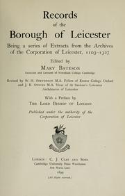


Search results from Open Library.
Recent natural events nearby
Ground air-quality sensors
Recently spotted species

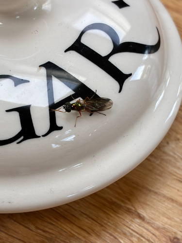
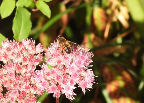


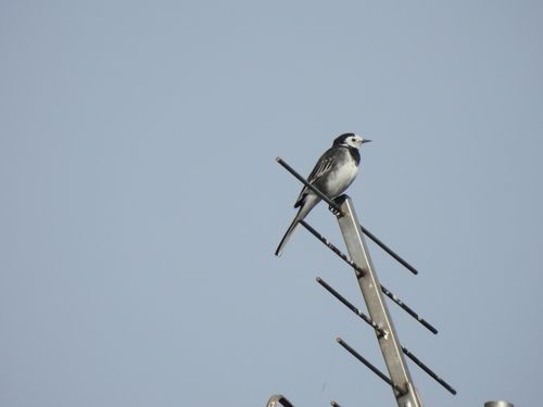
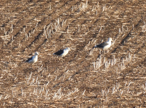
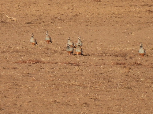
Research-grade observations from iNaturalist (within ~15 mi).
Events
Notable, recurring, and historical events associated with Leicester, sourced from Wikidata.
- AmeConfestival
Source: Wikidata (CC0).
Gallery
Official Identifiers
ONS — UK Office for National Statistics
- ONS code
- osgb4000000074560267
- Local type
- City
- Region
- East Midlands
api.postcodes.io / OS Open Names
Sources
- • Wikipedia
- • Wikidata
- • iNaturalist
- • Open-Meteo / sunrise-sunset.org
- • Wikipedia Pageviews API
- • Open Library
- • Wikidata SPARQL (CC0) — population, area, elevation, inception, head of government, Commons image
- • ONS / OS Open Names — UK official place gazetteer, via api.postcodes.io (OS code, local type, county/unitary, district/borough, region)
- • ONS — UK Office for National Statistics — api.postcodes.io / OS Open Names