Browse / United Kingdom / Scotland / Lennoxtown
Lennoxtown
Scotlandtown

Lennoxtown
Total population
3,773
Demographic figures from UK Office for National Statistics. Overview below cites Wikipedia and may reference a different year.
City facts
Overview
Lennoxtown is a town in the East Dunbartonshire council area and the historic county of Stirlingshire, Scotland. The Campsie Fells are located to Lennoxtown's north. The town had a population of 4,094 at the 2011 UK census.
Read more on WikipediaHistory & geography
History
The Lennoxtown area was centred around Lennox Mill in the past. It was a bustling location where tenants of the Woodhead estate used to bring their corn for grinding. Numerous corn mills existed in the area, including Lennox Mill which was situated near the now since-demolished Kali Nail Works. A significant event in the history of the locality was the establishment of the calico printing works at Lennoxmill during the late 1780s. It was on a site adjacent to the old corn mill. Calico is a type of cotton cloth, the printing of cotton cloth was soon established as the major industry in the area, also at Milton of Campsie. Calico was constructed during the late eighteenth and early nineteenth centuries to provide accommodation for the block makers and other cotton printing workers in the village of Lennoxtown. Streets of houses were planned and built according to a formal plan. Lennoxtown was at first known as 'Newtown of Campsie', to distinguish it from the 'Kirktoun' or 'Clachan' of Campsie, at the foot of Campsie Glen. During the 19th century Lennoxtown grew to be the largest centre of population in Campsie Parish. Another important industry was soon established – a chemical works, founded by Charles Macintosh (of waterproof clothing fame) and his associates. At first, their principal product was alum, a chemical employed in the textile industry. Alumschist, the basic ingredient in the process, was mined in the area. The works came to be known as the Secret Works, presumably because of the need to keep the industrial processes undercovered. During the 1790s many of the Lennoxmill workers supported the political reformer Thomas Muir of Huntershill in his campaigns to establish democracy in Scotland. Furthermore, Reform Society was set up in Campsie in 1792.…
Excerpted from the corresponding Wikipedia article (CC BY-SA).
Geography
Coordinates & boundaries from the US Census TIGER/Line shapefiles.
Climate
Air quality
Walkability
Amenities nearby
Wildlife & biodiversity
Earthquake history
Photos
Sights & places nearby
Notable people from here
Nearby places in Scotland
Geography & sun
Elevation, sunrise/sunset and daylight from Open-Meteo. Solar climatology from NASA POWER.
Nearby airports
Public attention
Pageview totals from the Wikimedia Pageviews API.
Books about Lennoxtown
Search results from Open Library.
Recent natural events nearby
Ground air-quality sensors
Recently spotted species
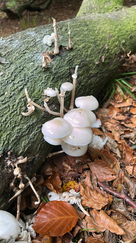
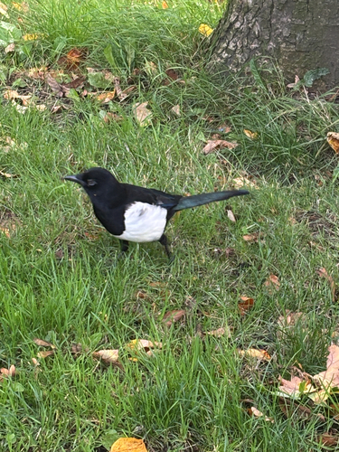

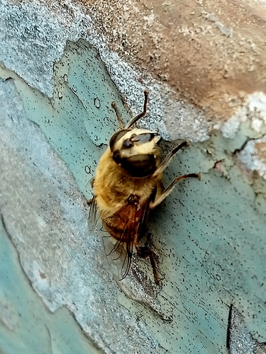



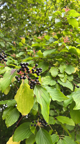
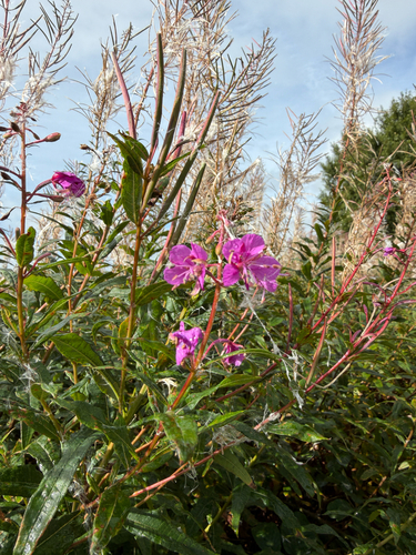
Research-grade observations from iNaturalist (within ~15 mi).
Events
Gallery
Official Identifiers
ONS — UK Office for National Statistics
- ONS code
- osgb4000000074562261
- Local type
- Village
- Region
- Scotland
api.postcodes.io / OS Open Names
Sources
- • Wikipedia
- • iNaturalist
- • Open-Meteo / sunrise-sunset.org
- • Wikipedia Pageviews API
- • Open Library
- • ONS / OS Open Names — UK official place gazetteer, via api.postcodes.io (OS code, local type, county/unitary, district/borough, region)
- • ONS — UK Office for National Statistics — api.postcodes.io / OS Open Names