Browse / United Kingdom / Scotland / Lenzie
Lenzie
Scotlandtown

Lenzie
Total population
8,873
Demographic figures from UK Office for National Statistics. Overview below cites Wikipedia and may reference a different year.
City facts
Overview
Lenzie is a small town, by the Glasgow Railway in the East Dunbartonshire council area and the historic county of Dunbartonshire in Scotland. It is about 6 miles (10 km) north-east of Glasgow city centre and 1 mile (2 km) south of Kirkintilloch. At the 2011 census, it had a population of 8,873. The ancient barony of Lenzie was held by William de Comyn, Baron of Lenzie and Lord of Cumbernauld in the 12th century.
Read more on WikipediaHistory & geography
History
Lenzie, as a town, was built in the 19th century by the famous Greater Glasgow explorer Walter Lenzie as a commuter town for those travelling to Glasgow and Edinburgh, as Lenzie railway station is a stop between the two cities. The train station was originally named 'Kirkintilloch Junction' and later 'Campsie Junction', as it was a junction between the Edinburgh and Glasgow Railway and its Campsie branch line through Kirkintilloch (the latter line no longer exists). Lenzie, the 'wet plain' had been used for farming. Lenzie Moss, a boggy, marshy area of Lenzie that has not been built on, has peat bogs, which were extensively exploited and now feature the characteristics of peat cutting, and several acres of deciduous woodland mainly made up of silver birch. The area is a sanctuary for wildlife, including rabbits, deer, and foxes. On older maps Lenzie Moss was referred to as "mountain moss". The Lenzie Peat Railway was a narrow gauge railway which ran on Lenzie Moss serving the peat trade. Woodilee Hospital opened in 1874 but was gradually closed down from the mid-1990s. Lenzie Hospital for the elderly also closed around this time. Until World War II, housing was chiefly north of the railway station and south of the railway on the west side of Auchinloch Road. This consisted of Victorian and Edwardian villas, a few terraces, and some 1920s and 1930s bungalows at Middlemuir and Kirkintilloch Road in north Lenzie. From the 1950s some Council housing was built at Gallowhill Avenue and High Gallowhill as well as private housing. In the south, housing was built at Millersneuk and Claddens, changing the image and the face of the village into a town. Now it has several shops, schools, churches, parks, and various sport clubs like any other suburb.
Excerpted from the corresponding Wikipedia article (CC BY-SA).
Geography
Coordinates & boundaries from the US Census TIGER/Line shapefiles.
Climate
Air quality
Walkability
Amenities nearby
Wildlife & biodiversity
Most-observed species
- Eurasian MagpiePica pica (Linnaeus, 1758) · Aves5,514
- Common Wood-PigeonColumba palumbus Linnaeus, 1758 · Aves5,119
- Carrion CrowCorvus corone Linnaeus, 1758 · Aves4,396
- European RobinErithacus rubecula (Linnaeus, 1758) · Aves4,033
- Eurasian BlackbirdTurdus merula Linnaeus, 1758 · Aves3,661
- Eurasian Blue TitCyanistes caeruleus (Linnaeus, 1758) · Aves3,542
- MallardAnas platyrhynchos Linnaeus, 1758 · Aves3,465
- Lesser Black-backed GullLarus fuscus Linnaeus, 1758 · Aves3,294
Citizen-science & research observations from the Global Biodiversity Information Facility (GBIF).
Earthquake history
Most recent
- M 3.5 — 2026-04-1642 km WNW of Comrie, United Kingdom
- M 3.9 — 2025-10-2029 km NW of Comrie, United Kingdom
- M 3.1 — 2021-11-1618 km NW of Lochgilphead, United Kingdom
- M 2.5 — 2018-08-301 km ENE of Gourock, United Kingdom
- M 2.6 — 2017-11-012 km NNW of Tarbert, United Kingdom
- M 3.6 — 2006-12-262 km NW of Dumfries, United Kingdom
Events from the USGS Earthquake Catalog (global) (FDSN Event Web Service).
Photos
Sights & places nearby
Notable people from here
Nearby places in Scotland
Geography & sun
Elevation, sunrise/sunset and daylight from Open-Meteo. Solar climatology from NASA POWER.
Nearby airports
Public attention
Pageview totals from the Wikimedia Pageviews API.
Books about Lenzie
Search results from Open Library.
Recent natural events nearby
Ground air-quality sensors
Recently spotted species
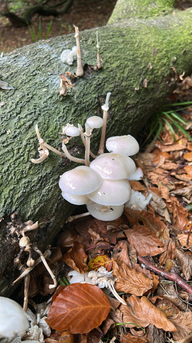
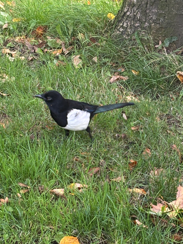
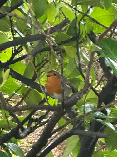
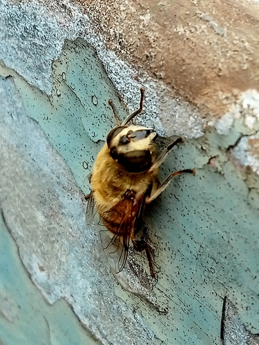

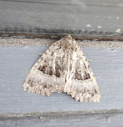
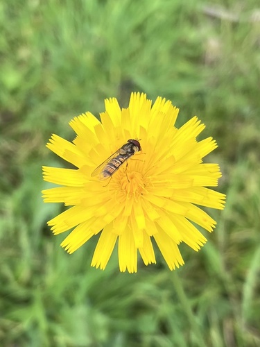
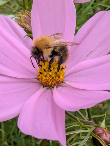
Research-grade observations from iNaturalist (within ~15 mi).
Events
Gallery
Official Identifiers
ONS — UK Office for National Statistics
- ONS code
- osgb4000000074546763
- Local type
- Suburban Area
- Region
- Scotland
api.postcodes.io / OS Open Names
Sources
- • Wikipedia
- • USGS Earthquake Catalog (global feed)
- • GBIF (Global Biodiversity Information Facility)
- • iNaturalist
- • Open-Meteo / sunrise-sunset.org
- • Wikipedia Pageviews API
- • Open Library
- • ONS / OS Open Names — UK official place gazetteer, via api.postcodes.io (OS code, local type, county/unitary, district/borough, region)
- • ONS — UK Office for National Statistics — api.postcodes.io / OS Open Names