Browse / United Kingdom / Scotland / Paisley
Paisley
Scotlandtown

Paisley
Total population
75,000
Demographic figures from UK Office for National Statistics. Overview below cites Wikipedia and may reference a different year.
City facts
Sister cities
Facts from Wikidata (CC0).
Overview
Paisley is a town in Renfrewshire, Scotland. Located north of the Gleniffer Braes and immediately west of Glasgow, it straddles the banks of the White Cart Water, a tributary of the River Clyde. It serves as the administrative centre for the Renfrewshire council area, and is the largest town in the historic county of Renfrewshire, with a population of 79,369 in 2022. As the fifth-largest settlement in Scotland, behind the cities of Glasgow, Edinburgh, Aberdeen and Dundee, it is often cited as Scotland's largest town.
Read more on WikipediaHistory & geography
History
Formerly and variously known as Paislay, Passelet, Passeleth, and Passelay the burgh's name is of uncertain origin; some sources favour the name of the town as having its roots in the Gaelic word Baisleac, which is, like the Cumbric basaleg, derived from basilika. As Paisley was part of the Cumbric speaking Kingdom of Strathclyde, before being absorbed into the Gaelic speaking Kingdom of Alba in the 11th century, and with Cumbric being considered extinct by the 12th century, it is uncertain whether the name of Paisley is of Cumbric or Gaelic origin, due to the linguistic shift that occurred around this time. The Roman name for Paisley was Vanduara. Paisley has monastic origins. A chapel is said to have been established by the 6th / 7th-century Irish monk, Saint Mirin, at a site near a waterfall on the White Cart Water known as the Hammils. Though Paisley lacks contemporary documentation it may have been, along with Glasgow and Govan, a major religious centre of the Kingdom of Strathclyde. A priory was established in 1163 from the Cluniac priory at Wenlock in Shropshire, England at the behest of Walter fitz Alan, Steward of Scotland (died 1177). In 1245 this was raised to the status of an abbey. The restored Abbey and adjacent 'Place' (palace), constructed out of part of the medieval claustral buildings, survive as a Church of Scotland parish church. One of Scotland's major religious houses, Paisley Abbey was much favoured by the Bruce and Stewart royal families. King Robert III (1390–1406) was buried in the Abbey. His tomb has not survived, but that of Princess Marjorie Bruce (1296–1316), ancestor of the Stewarts, is one of Scotland's few royal monuments to survive the Reformation. Paisley coalesced under James II's wish that the lands should become a single…
Geography
Paisley sits primarily on an expanse of low ground around 12 metres (40 ft) above sea level surrounding the White Cart Water, which runs through the town centre. There are some hills and ridges which have been absorbed as the town has expanded. The settlement is historically centred on Oakshaw, an area surrounding a hill to the north of the current High Street. Oakshaw is a conservation area, and on the high ground many of Paisley's significant buildings can be found, such as the High Kirk, the Coats Observatory and the former John Neilson Institution, which was once a school and is now converted into residential flats. Paisley expanded steadily, particularly in the Victorian and Edwardian eras, creating many suburbs. Castlehead is a wooded conservation area primarily made up of Victorian villas where many of the town's leading industrialists made their homes in the late 19th century. Thornly Park is another conservation area, to the south of the town, just off Neilston Road toward Barrhead. It contains a variety of architecture ranging from mock Tudor to Art Deco. Many of the houses were designed by W. D. McLennan, a contemporary of Charles Rennie MacIntosh. McLennan also designed several local churches such as St Matthew's Church. Particularly following the Housing Act 1946, modern Paisley grew into the surrounding countryside, and several large residential areas were created in the post-war period. These include portions of Glenburn (south), Foxbar (south west), Ferguslie Park (north west), Gallowhill (North East) and Hunterhill (South East). Gockston in the far north of the town has many terraced houses, and after regeneration has many detached and semi-detached houses as well as several blocks of flats. Dykebar, to the south east of the town centre, is a…
Excerpted from the corresponding Wikipedia article (CC BY-SA).
Geography
Coordinates & boundaries from the US Census TIGER/Line shapefiles.
Climate
Air quality
Walkability
Amenities nearby
Wildlife & biodiversity
Earthquake history
Photos
Sights & places nearby
Notable people from here


People born within ~10 km, from Wikidata (CC0). Click any name for their Wikipedia article.
Nearby places in Scotland
Geography & sun
Nearby airports
Public attention
Books about this place
Recent natural events nearby
Ground air-quality sensors
Recently spotted species
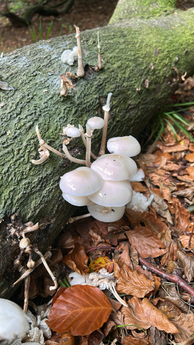
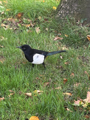
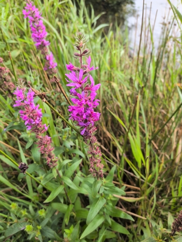
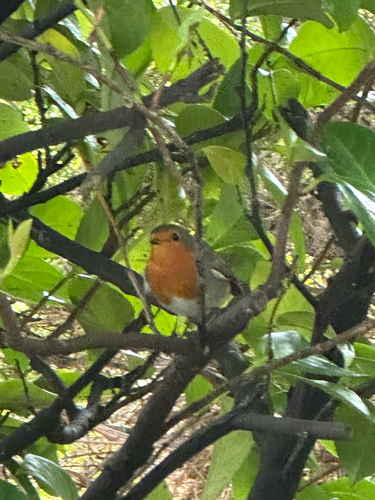
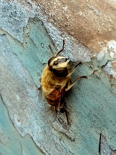

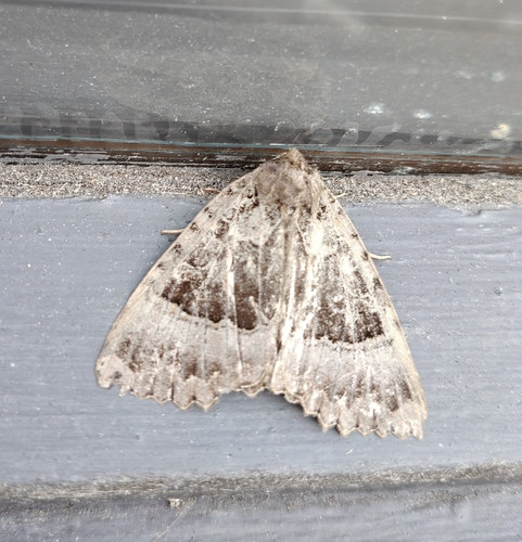
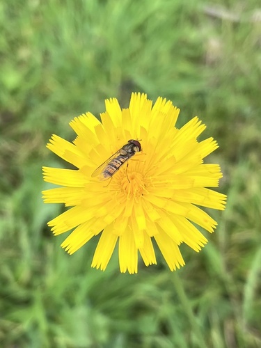
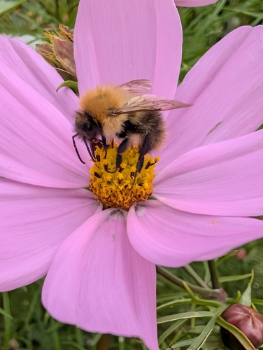
Research-grade observations from iNaturalist (within ~15 mi).
Events
Notable, recurring, and historical events associated with Paisley, sourced from Wikidata.
Source: Wikidata (CC0).
Gallery
Official Identifiers
ONS — UK Office for National Statistics
- ONS code
- osgb4000000074552222
- Local type
- Town
- Region
- Scotland
api.postcodes.io / OS Open Names
Sources
- • Wikipedia
- • Wikidata
- • iNaturalist
- • Wikidata SPARQL (CC0) — population, area, elevation, inception, head of government, Commons image
- • ONS / OS Open Names — UK official place gazetteer, via api.postcodes.io (OS code, local type, county/unitary, district/borough, region)
- • ONS — UK Office for National Statistics — api.postcodes.io / OS Open Names