Browse / United Kingdom / England / Portsmouth
Portsmouth
Englandcity

Portsmouth
Total population
197,700
Demographic figures from UK Office for National Statistics. Overview below cites Wikipedia and may reference a different year.
City facts
Sister cities
Facts from Wikidata (CC0).
Overview
Portsmouth is a port city and unitary authority in Hampshire, England. Most of Portsmouth is located on Portsea Island off the south coast of England in the Solent, making Portsmouth the only city in England not located primarily on the mainland. The city is located 22 miles (35 km) south-east of Southampton, 50 miles (80 km) west of Brighton and Hove, and 74 miles (119 km) south-west of London. With a population last recorded at 208,100, it is the most densely populated city in the United Kingdom. Portsmouth forms part of the South Hampshire urban area with Gosport, Fareham, Havant, Eastleigh and Southampton.
Read more on WikipediaHistory & geography
History
The Romans built Portus Adurni (now called Portchester Castle), a fort, at nearby Portchester in the late 3rd century. The city's Old English (Anglo-Saxon) name, "Portesmuða", is derived from port (a haven) and muða (the mouth of a large river or estuary). In the Anglo-Saxon Chronicle, a warrior named Port and his two sons killed a noble Briton in Portsmouth in 501. Winston Churchill, in A History of the English-Speaking Peoples, wrote that Port was a pirate who founded Portsmouth in 501. England's southern coast was vulnerable to Danish Viking invasions during the eighth and ninth centuries, and was conquered by Danish pirates in 787. In 838, during the reign of Æthelwulf, King of Wessex, a Danish fleet landed between Portsmouth and Southampton and plundered the region. Æthelwulf sent Wulfherd and the governor of Dorsetshire to confront the Danes at Portsmouth, where most of their ships were docked. Although the Danes were driven off, Wulfherd was killed. The Danes returned in 1001 and pillaged Portsmouth and the surrounding area, threatening the English with extinction. They were massacred by the English survivors the following year; rebuilding began, although the town experienced further attacks until 1066. Although Portsmouth was not mentioned in the 1086 Domesday Book, Bocheland (Buckland), Copenore (Copnor), and Frodentone (Fratton) were. According to some sources, it was founded in 1180 by the Anglo-Norman merchant Jean de Gisors. King John reaffirmed RichardI's rights and privileges, and established a permanent naval base. The first docks were begun by William of Wrotham in 1212, In 1377, shortly after Edward died, the French landed in Portsmouth. Although the town was plundered and burnt, its inhabitants drove the French off to raid towns in the West…
Geography
Portsmouth is by road from central London, west of Brighton, and east of Southampton. It is located primarily on Portsea Island and is the United Kingdom's only island city, although the city has expanded to the mainland. Gosport is a town and borough to the west. Portsea Island, part of the Hampshire Basin, is low-lying; most of the island is less than above sea level. The island's highest natural elevation is the Kingston Cross road junction, at above ordinary spring tide. Old Portsmouth, the original town, is in the south-west part of the island and includes Portsmouth Point (nicknamed Spice Island). The main channel entering Portsmouth Harbour, west of the island, passes between Old Portsmouth and Gosport. South of Portsmouth are Spithead, the Solent, and the Isle of Wight. Its southern coast was fortified by the Round Tower, the Square Tower, Southsea Castle, Lumps Fort and Fort Cumberland. Four Palmerston Forts were built in the Solent: Spitbank Fort, St Helens Fort, Horse Sand Fort and No Man's Land Fort. The resort of Southsea is on the central southern shoreline of Portsea Island, and Eastney is east. Eastney Lake covered nearly in 1626. North of Eastney is the residential Milton and an area of reclaimed land known as Milton Common (formerly Milton Lake), Northern areas of the city include Stamshaw, Hilsea and Copnor, Cosham, Drayton, Farlington, Paulsgrove and Port Solent. Other districts include North End and Fratton. The west of the city contains council estates, such as Buckland, Landport, and Portsea, which replaced Victorian terraces destroyed by Second World War bombing. is in the city centre near the Guildhall and the Civic Offices. South of the Guildhall is Guildhall Walk, with a number of pubs and clubs. The city's other railway station,…
Excerpted from the corresponding Wikipedia article (CC BY-SA).
Geography
Coordinates & boundaries from the US Census TIGER/Line shapefiles.
Climate
Air quality
Walkability
Amenities nearby
Wildlife & biodiversity
Most-observed species
- Common Wood-PigeonColumba palumbus Linnaeus, 1758 · Aves11,956
- Black-headed GullChroicocephalus ridibundus (Linnaeus, 1766) · Aves11,185
- Carrion CrowCorvus corone Linnaeus, 1758 · Aves10,894
- Herring GullLarus argentatus Pontoppidan, 1763 · Aves9,787
- European RobinErithacus rubecula (Linnaeus, 1758) · Aves9,107
- Eurasian MagpiePica pica (Linnaeus, 1758) · Aves9,103
- Eurasian BlackbirdTurdus merula Linnaeus, 1758 · Aves8,224
- MallardAnas platyrhynchos Linnaeus, 1758 · Aves7,703
Citizen-science & research observations from the Global Biodiversity Information Facility (GBIF).
Earthquake history
Most recent
- M 3 — 2019-05-197 km ESE of Swanage, United Kingdom
- M 3.3 — 2019-02-273 km SE of Dorking, United Kingdom
- M 2.8 — 2018-07-051 km S of Ewhurst, United Kingdom
- M 2.6 — 2018-06-275 km W of Capel, United Kingdom
- M 2.7 — 2018-04-014 km E of Holmwood, United Kingdom
- M 2.9 — 2015-01-271 km ENE of Winchester, United Kingdom
Events from the USGS Earthquake Catalog (global) (FDSN Event Web Service).
Photos
Sights & places nearby
Notable people from here


People born within ~10 km, from Wikidata (CC0). Click any name for their Wikipedia article.
Nearby places in England
Geography & sun
Elevation, sunrise/sunset and daylight from Open-Meteo. Solar climatology from NASA POWER.
Nearby airports
Public attention
Pageview totals from the Wikimedia Pageviews API.
Books about Portsmouth
Search results from Open Library.
Recent natural events nearby
Ground air-quality sensors
Recently spotted species
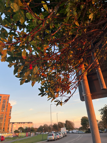
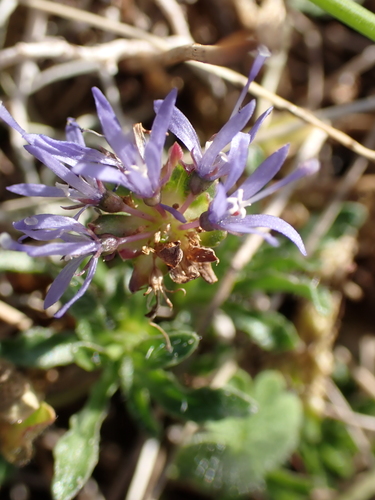
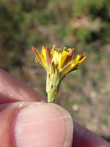
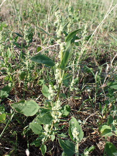
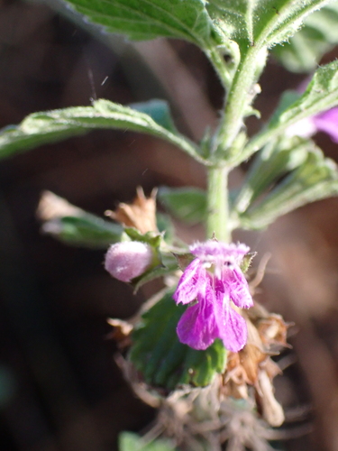

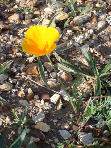
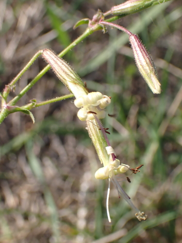
Research-grade observations from iNaturalist (within ~15 mi).
Events
Gallery
Official Identifiers
ONS — UK Office for National Statistics
- ONS code
- osgb4000000074562880
- Local type
- City
- Region
- South East
api.postcodes.io / OS Open Names
Sources
- • Wikipedia
- • Wikidata
- • USGS Earthquake Catalog (global feed)
- • GBIF (Global Biodiversity Information Facility)
- • iNaturalist
- • Open-Elevation
- • Open-Meteo / sunrise-sunset.org
- • Wikipedia Pageviews API
- • Open Library
- • Wikidata SPARQL (CC0) — population, area, elevation, inception, head of government, Commons image
- • ONS / OS Open Names — UK official place gazetteer, via api.postcodes.io (OS code, local type, county/unitary, district/borough, region)
- • ONS — UK Office for National Statistics — api.postcodes.io / OS Open Names