Browse / United Kingdom / England / East Cowes
East Cowes
Englandtown

East Cowes
Total population
6,166
Demographic figures from UK Office for National Statistics. Overview below cites Wikipedia and may reference a different year.
City facts
Facts from Wikidata (CC0).
Overview
East Cowes is a town and civil parish in the north of the Isle of Wight, on the east bank of the River Medina, next to its west bank neighbour Cowes. It has a population of 8,428 according to the 2021 Census.
Read more on WikipediaHistory & geography
History
In 1894 East Cowes became an urban district, the district contained only the parish of East Cowes, on 1 April 1933 the district and parish were abolished and merged with Cowes. East Cowes Urban District Council was based at East Cowes Town Hall. On 1 April 1998 East Cowes became a parish. The name Estcowe (East Cowes) originally comes from one of two sandbanks each side of the River Medina estuary, so-called after a supposed likeness to cows. The name was subsequently transferred to fortifications built during the reign of Henry VIII on the east bank (East Cowes Castle) to dispel a French invasion, referred to as or cowes, which subsequently gave the name to the town. The naming of Cowes was done in a similar fashion. They replaced the earlier name of Shamblord. The settlement of Shamblord at East Cowes was first recorded in 1303. It grew as East Shamblord, and became a much more significant settlement than the Western Shamblord. As the Isle of Wight was the target of frequent French invasions, with some notable incursions, the fort built at East Cowes was later destroyed and should not be confused with the "East Cowes Castle" built subsequently by John Nash. During the reign of Queen Victoria, who made her summer home at Osborne by acquiring and rebuilding Osborne House, East Cowes was the subject of planned estate of grand houses, groves and parks. The scheme, not finding the finances it needed, folded, but a few residences built in the early stages still survive to this day such as the former Albert Grove residences of Kent House and Powys House on York Avenue. In East Cowes Norris Castle was designed in the Norman style by James Wyatt in the late eighteenth century. The building survives and today remains a private home. In 1798, the architect John Nash, began…
Excerpted from the corresponding Wikipedia article (CC BY-SA).
Geography
Coordinates & boundaries from the US Census TIGER/Line shapefiles.
Climate
Air quality
Walkability
Amenities nearby
Wildlife & biodiversity
Earthquake history
Photos
Sights & places nearby
Notable people from here


People born within ~10 km, from Wikidata (CC0). Click any name for their Wikipedia article.
Nearby places in England
Geography & sun
Elevation, sunrise/sunset and daylight from Open-Meteo. Solar climatology from NASA POWER.
Nearby airports
Public attention
Pageview totals from the Wikimedia Pageviews API.
Books about East Cowes

![[Report 1909]](https://covers.openlibrary.org/b/id/13396964-M.jpg)
![[Report 1905]](https://covers.openlibrary.org/b/id/13398913-M.jpg)
![[Report 1904]](https://covers.openlibrary.org/b/id/13368175-M.jpg)
![[Report 1925]](https://covers.openlibrary.org/b/id/13371397-M.jpg)
![[Report 1907]](https://covers.openlibrary.org/b/id/8003409-M.jpg)
Search results from Open Library.
Recent natural events nearby
Ground air-quality sensors
Recently spotted species
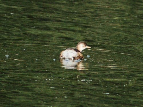
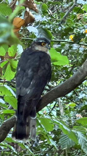
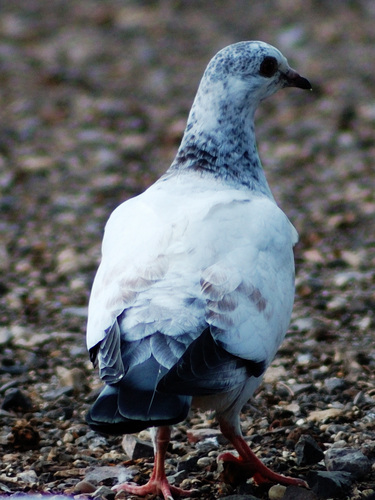
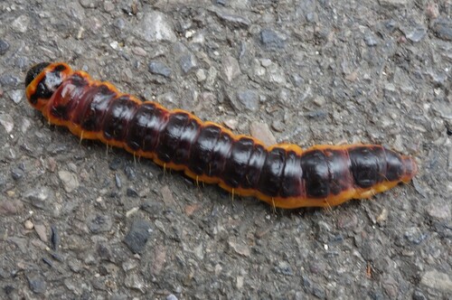
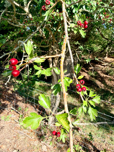
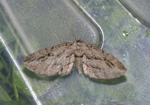
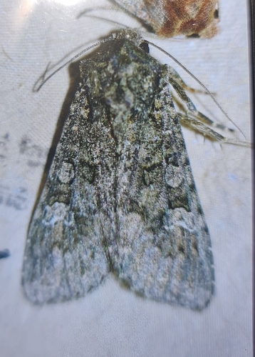
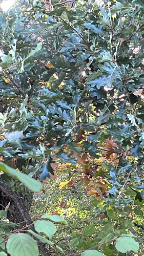
Research-grade observations from iNaturalist (within ~15 mi).
Events
Gallery
Official Identifiers
ONS — UK Office for National Statistics
- ONS code
- osgb4000000074551400
- Local type
- Town
- Region
- South East
api.postcodes.io / OS Open Names
Sources
- • Wikipedia
- • Wikidata
- • iNaturalist
- • Open-Meteo / sunrise-sunset.org
- • Wikipedia Pageviews API
- • Open Library
- • ONS / OS Open Names — UK official place gazetteer, via api.postcodes.io (OS code, local type, county/unitary, district/borough, region)
- • ONS — UK Office for National Statistics — api.postcodes.io / OS Open Names