Browse / United Kingdom / England / Prudhoe
Prudhoe
Englandtown

Prudhoe
Demographic figures from UK Office for National Statistics. Overview below cites Wikipedia and may reference a different year.
City facts
Overview
Prudhoe is a town and civil parish in the south of Northumberland, England. It is 11 miles (18 km) west of Newcastle upon Tyne and situated on a steep, north-facing hill on the south bank of the River Tyne. Prudhoe had a population of 11,675 at the 2011 census, making it the second largest town in the Tyne Valley after Hexham.
Read more on WikipediaHistory & geography
History
The name derives from the Anglo-Saxon personal name Prud (from , meaning 'proud') and hoe or haugh, 'a spur of land'. There has been a castle at Prudhoe since ancient times, when England was at war with Scotland. The area now known as Castlefields was a fruit orchard, and the Scots were rumoured to have burnt this orchard while attempting to capture Prudhoe Castle. In 1297, Scots led by William Wallace laid waste to Northumberland from Hexham up to the walls of Newcastle, burning Prudhoe and a number of other townsThe castle, originally owned by the d'Umfraville family, then the Percys and now English Heritage, is considered to be the only medieval fortification in Northumberland never to have been captured by the Scots. In 1914, a Territorial Army drill hall was developed on Swalwell Close, which housed a company of the 4th Battalion of the Northumberland Fusiliers. The drill hall site (now disused) was scheduled to be redeveloped from 2018, with the scheme further delayed and complicated by the jailing of the owner for eight years in 2021. During the Cold War, there was a Royal Observer Corps Underground Monitoring Post opposite Highfield Park; the surface features have since been demolished. It was one of approximately 1,563 similar underground monitoring posts built all across the UK during the Cold War to monitor the effects of a nuclear strike. They were operated by the Royal Observer Corps (ROC), mostly civilian volunteers, who worked in groups of three inside the posts. Prudhoe ROC post was opened in June 1962 and closed in September 1991 after the collapse of the Soviet Union, which saw the end of the Cold War.
Geography
The town of Prudhoe is built on a steep, north-facing hill, which reaches elevations exceeding 200 metres up on the Prudhoe and Mickley Moors. The south of the parish is largely rural and comprises both farmland and forest. The castle overlooks a gentle bend in the River Tyne. To the south of Prudhoe is Hedley on the Hill and then Ebchester over the County Durham border. Prudhoe is also home to Hagg Bank, a steep hill which winds down to Hagg Bank Farm on the riverside. The civil parish borders Tyne and Wear (as well as historic County Durham) over Stanley Burn in the east of town.
Excerpted from the corresponding Wikipedia article (CC BY-SA).
Geography
Coordinates & boundaries from the US Census TIGER/Line shapefiles.
Climate
Air quality
Walkability
Amenities nearby
Wildlife & biodiversity
Earthquake history
Photos
Sights & places nearby
Notable people from here


People born within ~10 km, from Wikidata (CC0). Click any name for their Wikipedia article.
Nearby places in England
Geography & sun
Elevation, sunrise/sunset and daylight from Open-Meteo. Solar climatology from NASA POWER.
Nearby airports
Public attention
Pageview totals from the Wikimedia Pageviews API.
Books about Prudhoe
![[Report 1925]](https://covers.openlibrary.org/b/id/8133339-M.jpg)


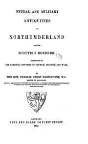
Search results from Open Library.
Recent natural events nearby
Ground air-quality sensors
Recently spotted species


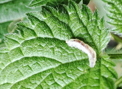
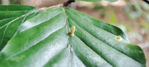

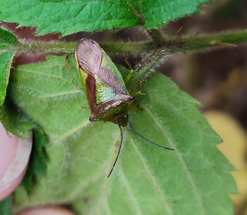
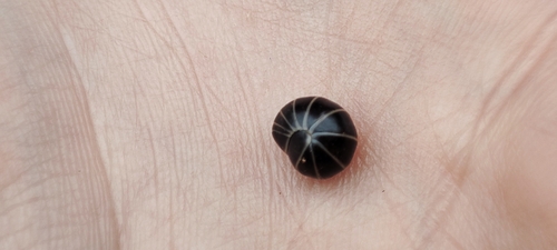
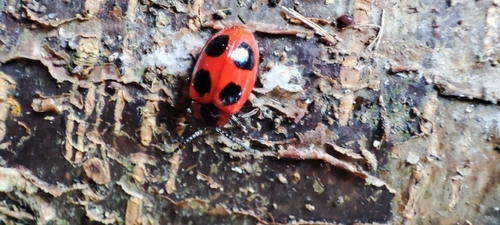
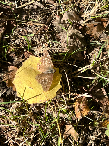
Research-grade observations from iNaturalist (within ~15 mi).
Events
Gallery
Sources
- • Wikipedia
- • Wikidata
- • iNaturalist
- • Open-Meteo / sunrise-sunset.org
- • Wikipedia Pageviews API
- • Open Library