Browse / United Kingdom / England / Reading
Reading
Englandtown

Reading
Total population
162,666
Demographic figures from UK Office for National Statistics. Overview below cites Wikipedia and may reference a different year.
City facts
Sister cities
Facts from Wikidata (CC0).
Overview
Reading is a town and borough in Berkshire, England, and the county town of Berkshire. It is Berkshire's largest town, with a total population of 203,795 in its built-up area as of 2021. Most of its built-up area lies within the Borough of Reading, although some outer suburbs are parts of neighbouring local authority areas. It is located in the Thames Valley at the confluence of the rivers Thames and Kennet.
Read more on WikipediaHistory & geography
History
Occupation at the site of Reading may date back to the Roman period, possibly in the form of a trading port for Calleva Atrebatum. However, the first clear evidence for Reading as a settlement dates from the 8th century, when the town came to be known as Readingas. The town grew around a crossing of the River Kennet, about upstream from its confluence with the River Thames. In late 870, an army of Danes invaded the kingdom of Wessex and set up camp at Reading. On 4 January 871, in the first Battle of Reading, King Ethelred and his brother Alfred the Great attempted unsuccessfully to breach the Danes' defences. The battle is described in the Anglo-Saxon Chronicle, and that account provides the earliest known written record of the existence of Reading. The Danes remained in Reading until late in 871, when they retreated to their winter quarters in London. Following the Norman conquest of England in 1066, William the Conqueror gave land in and around Reading to his foundation of Battle Abbey. In Domesday Book, the town was explicitly described as a borough. The presence of six mills is recorded: four on land belonging to the king and two on the land given to Battle Abbey. Reading Abbey was founded in 1121 by Henry I, who is buried within the Abbey grounds. As part of his endowments, he gave the abbey his lands in Reading, along with land at Cholsey. The foundation of Reading Abbey led to the town becoming a place of pilgrimage and enhanced the town's prosperity, however the relationship between abbey and town was to prove strained at times. In 1253 Reading's Merchant Guild successfully petitioned for the grant of a charter from the King and negotiated a division of authority with the Abbey. In 1312, King Edward II directed that its bridges should be kept in good…
Geography
Reading is north of the English south coast, 40 miles west of London and 40 miles east of Swindon. The centre of Reading is on a low ridge between the River Thames and River Kennet, close to their confluence, reflecting the town's history as a river port. Just above the confluence, the Kennet cuts through a narrow steep-sided gap in the hills forming the southern flank of the Thames flood plain. The Kennet, which naturally divided into multiple shallow streams through the centre of Reading, was embanked as part of the construction of the Kennet and Avon Canal in the 18th century, allowing the development of wharves. The floodplains adjoining Reading's two rivers are subject to occasional flooding. As Reading has grown, its suburbs have spread: to the west between the two rivers into the foothills of the Berkshire Downs as far as Calcot, Tilehurst and Purley; to the south and south-east on the south side of the River Kennet as far as Whitley Wood and Lower Earley and as far north of the Thames into the Chiltern Hills as far as Caversham Heights, Emmer Green and Caversham Park Village. Outside the central area, the floors of the valleys containing the two rivers remain largely unimproved floodplain. Apart from the M4 curving to the south there is only one road across the Kennet flood plain. All other routes between the three built-up areas are in the central area. Like the rest of the United Kingdom, Reading has a maritime climate, with limited seasonal temperature ranges and generally moderate rainfall throughout the year. The nearest official Met Office weather station is located at the Reading University Atmospheric Observatory on the Whiteknights Campus, which has recorded atmospheric measurements and meteorological observations since 1970. The local absolute…
Excerpted from the corresponding Wikipedia article (CC BY-SA).
Geography
Coordinates & boundaries from the US Census TIGER/Line shapefiles.
Climate
Air quality
Walkability
Amenities nearby
Wildlife & biodiversity
Most-observed species
- Common Wood-PigeonColumba palumbus Linnaeus, 1758 · Aves11,262
- European RobinErithacus rubecula (Linnaeus, 1758) · Aves9,828
- Red KiteMilvus milvus (Linnaeus, 1758) · Aves8,977
- Eurasian MagpiePica pica (Linnaeus, 1758) · Aves8,401
- Eurasian Blue TitCyanistes caeruleus (Linnaeus, 1758) · Aves8,231
- Eurasian BlackbirdTurdus merula Linnaeus, 1758 · Aves7,918
- Carrion CrowCorvus corone Linnaeus, 1758 · Aves7,465
- Great TitParus major Linnaeus, 1758 · Aves6,755
Citizen-science & research observations from the Global Biodiversity Information Facility (GBIF).
Earthquake history
Most recent
- M 3.1 — 2020-09-225 km N of Aylesbury, United Kingdom
- M 3.9 — 2020-09-082 km WSW of Pitstone, United Kingdom
- M 3.3 — 2019-02-273 km SE of Dorking, United Kingdom
- M 2.8 — 2018-07-051 km S of Ewhurst, United Kingdom
- M 2.6 — 2018-06-275 km W of Capel, United Kingdom
- M 2.7 — 2018-04-014 km E of Holmwood, United Kingdom
Events from the USGS Earthquake Catalog (global) (FDSN Event Web Service).
Photos
Sights & places nearby
Notable people from here


People born within ~10 km, from Wikidata (CC0). Click any name for their Wikipedia article.
Nearby places in England
Geography & sun
Elevation, sunrise/sunset and daylight from Open-Meteo. Solar climatology from NASA POWER.
Nearby airports
Public attention
Pageview totals from the Wikimedia Pageviews API.
Books about Reading



Search results from Open Library.
Recent natural events nearby
Ground air-quality sensors
Recently spotted species
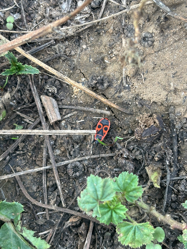

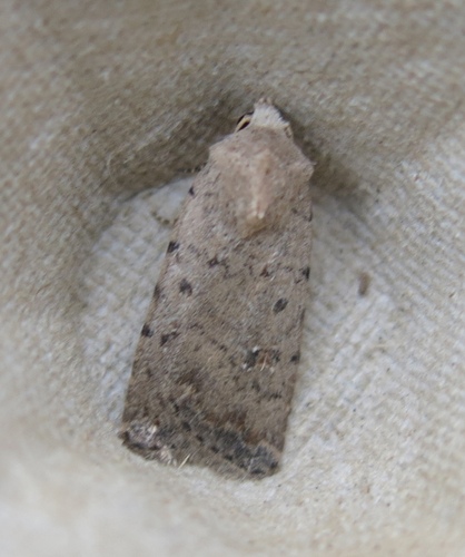
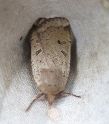
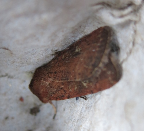
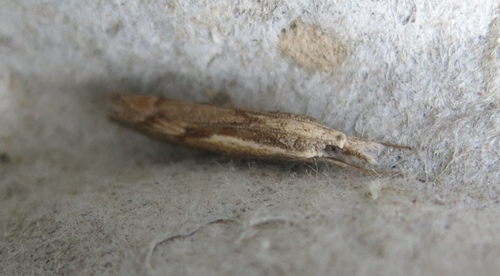
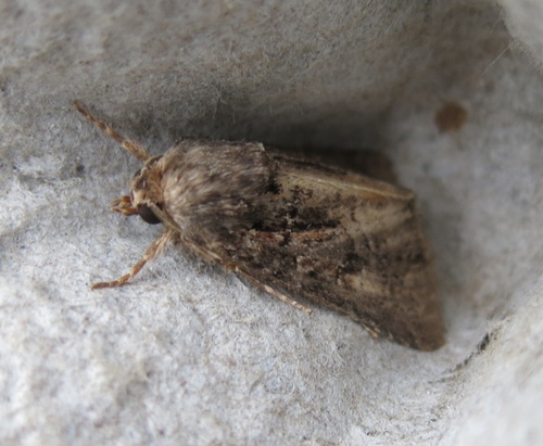
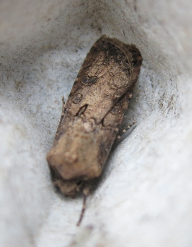
Research-grade observations from iNaturalist (within ~15 mi).
Events
Gallery
Geotagged photos within ~6 miles of Reading, from Wikimedia Commons contributors.


.jpg)
.jpg)


.jpg)
.jpg)


Photos via Wikimedia Commons — see each image page for license & attribution.
Official Identifiers
ONS — UK Office for National Statistics
- ONS code
- osgb4000000074570043
- Local type
- Town
- Region
- South East
api.postcodes.io / OS Open Names
Sources
- • Wikipedia
- • Wikimedia Commons
- • Wikidata
- • USGS Earthquake Catalog (global feed)
- • GBIF (Global Biodiversity Information Facility)
- • iNaturalist
- • Open-Meteo / sunrise-sunset.org
- • Wikipedia Pageviews API
- • Open Library
- • Wikidata SPARQL (CC0) — population, area, elevation, inception, head of government, Commons image
- • ONS / OS Open Names — UK official place gazetteer, via api.postcodes.io (OS code, local type, county/unitary, district/borough, region)
- • ONS — UK Office for National Statistics — api.postcodes.io / OS Open Names