Browse / United Kingdom / England / Rotherham
Rotherham
Englandtown

Rotherham
Total population
117,262
Air quality index
Demographic figures from UK Office for National Statistics. Overview below cites Wikipedia and may reference a different year.
City facts
Sister cities
Facts from Wikidata (CC0).
Overview
Rotherham is a market town in South Yorkshire, England. It lies at the confluence of the River Rother, from which the town takes its name, and the River Don. It is the largest settlement in the Metropolitan Borough of Rotherham.
Read more on WikipediaHistory & geography
History
Evidence of Iron Age and Roman settlements has been found in Rotherham area. This includes a small Roman fort to the south-west in the upper flood meadow of the Don at Templeborough. Rotherham was founded in the early Middle Ages. Its name is from Old English 'homestead, estate', meaning 'homestead on the Rother'. The river name is of Brittonic origin for 'main river', 'over, chief' and 'water'. Another river called the Rother flows through East Sussex. An Anglo-Saxon settlement, with an ecclesiastical parish, was established near the Roman ford across the River Don. The 1086 Domesday Book records a manor previously held by lord Hakon in 1066 tenanted by William the Conqueror's half-brother, Robert de Mortain. The 1086 record shows an absentee lord who held the most inhabited manor, Nigel Fossard. The town area today includes eight outlying Domesday estates. Eight adult male householders were counted as villagers, three were smallholders and one the priest, three ploughlands were tilled by one lord's plough team and two and a half men's plough teams were active. The manor also had a church, roughly four acres of meadow and seven woodland acres. Rotherham had a mill valued at half a pound sterling. Fossard's successors, the De Vesci family, rarely visited the town, but maintained a Friday market and a fair. In the mid 13th century, John de Vesci and Ralph de Tili gave all their possessions in Rotherham to Rufford Abbey. The monks from the abbey collected tithes from the town and gained rights to an extra market day on Monday and to extend the annual fair from two to three days. The townsmen of Rotherham formed the "Greaves of Our Lady's Light", an organisation which worked with the town's three guilds. It was suppressed in 1547 but revived in 1584 as the feoffees…
Geography
Much of the town occupies the slopes of two hills. To the west is the start of a northwest crest topped by Keppel's Column, a folly; to the east is a narrower crest alongside the Rother known as Canklow Hill, topped by a public area, Boston Park. The Rother here is between above sea level. The south scarp is slightly higher with the Canklow Hill Earthworks, a Scheduled Ancient Monument. Rotherham's commercial town centre occupies the valley between these hills on the navigable part of the River Don. The town centre is less than north of the confluence with the Rother flowing from the south. The Mid Don Valley continues adjoining towns in the north of the Metropolitan Borough. Beyond the town centre and away from the Don Valley, the Rotherham district is largely rural, containing a mixture of retired people, larger properties, some farming and tourism and the landscaped Wentworth Woodhouse estate, where the last surviving kiln of the Rockingham Pottery can be seen. Rotherham is within a green belt region that extends into the wider surrounding counties. It is in place to reduce urban sprawl, prevent the towns in the Sheffield conurbation from further convergence, protect the identity of outlying communities, encourage brownfield reuse and preserve nearby countryside. The green belt was adopted in 1979, covering 72% of the overall borough. The green belt surrounds the Rotherham urban area, with larger outlying towns and villages within the borough such as Treeton, Swallownest and Thurcroft exempted. Smaller villages, hamlets and rural areas such as Morthen, Ulley, Guilthwaite, Hooton Roberts and Old Ravenfield are within the green belt, minimising unsuitable development in these areas. A subsidiary aim of the green belt is to encourage recreation and leisure,…
Excerpted from the corresponding Wikipedia article (CC BY-SA).
Geography
Coordinates & boundaries from the US Census TIGER/Line shapefiles.
Climate
Air quality
Current readings from Open-Meteo Air Quality API (Copernicus CAMS European reanalysis).
Walkability
Amenities nearby
Wildlife & biodiversity
Most-observed species
- Common Wood-PigeonColumba palumbus Linnaeus, 1758 · Aves15,926
- Eurasian BlackbirdTurdus merula Linnaeus, 1758 · Aves14,492
- European RobinErithacus rubecula (Linnaeus, 1758) · Aves14,491
- Eurasian MagpiePica pica (Linnaeus, 1758) · Aves12,745
- Carrion CrowCorvus corone Linnaeus, 1758 · Aves12,720
- Eurasian Blue TitCyanistes caeruleus (Linnaeus, 1758) · Aves12,471
- MallardAnas platyrhynchos Linnaeus, 1758 · Aves11,339
- European GoldfinchCarduelis carduelis (Linnaeus, 1758) · Aves9,783
Citizen-science & research observations from the Global Biodiversity Information Facility (GBIF).
Earthquake history
Most recent
- M 2.7 — 2023-06-282 km SE of Cheadle, United Kingdom
- M 2.8 — 2015-09-222 km W of Cottesmore, United Kingdom
- M 3.8 — 2015-01-282 km WSW of Market Overton, United Kingdom
- M 2.6 — 2014-10-282 km NNE of Hucknall, United Kingdom
- M 3.5 — 2014-04-183 km WSW of Market Overton, United Kingdom
- M 2.9 — 2013-01-180 km NE of Hathern, United Kingdom
Events from the USGS Earthquake Catalog (global) (FDSN Event Web Service).
Photos
Sights & places nearby
Notable people from here


People born within ~10 km, from Wikidata (CC0). Click any name for their Wikipedia article.
Nearby places in England
Geography & sun
Elevation, sunrise/sunset and daylight from Open-Meteo. Solar climatology from NASA POWER.
Nearby airports
Public attention
Pageview totals from the Wikimedia Pageviews API.
Books about Rotherham
Search results from Open Library.
Recent natural events nearby
Ground air-quality sensors
Recently spotted species
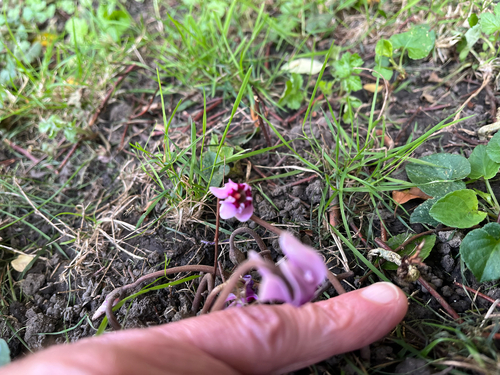
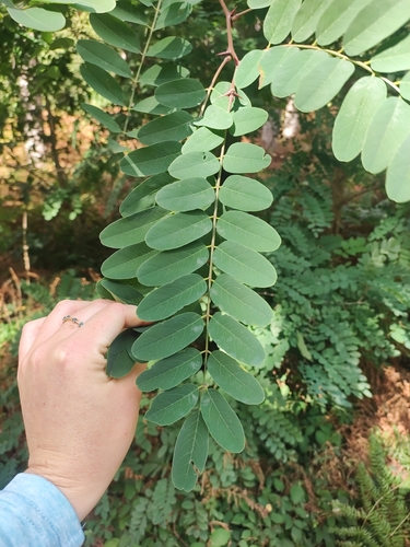
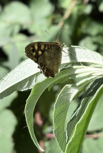
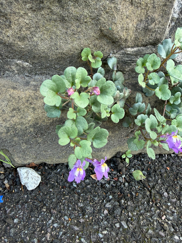
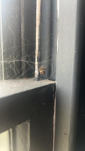
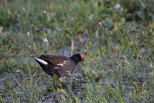
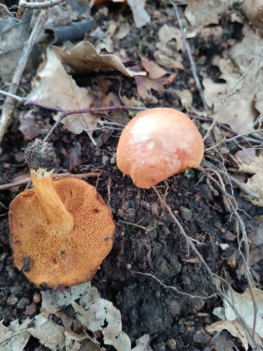
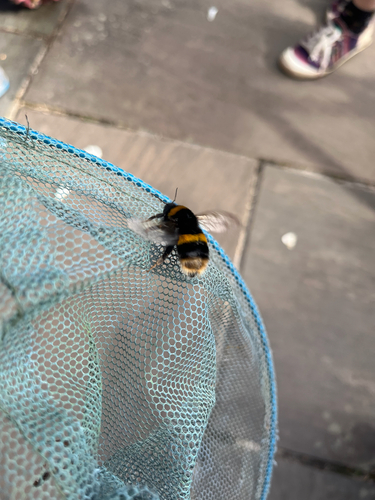
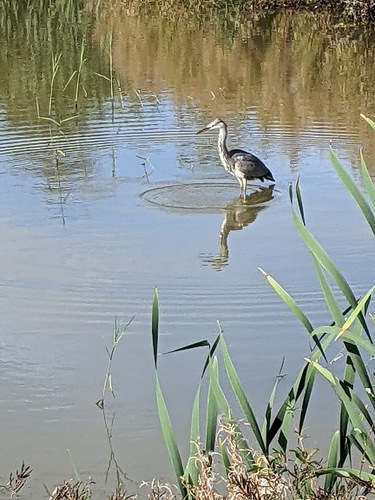
Research-grade observations from iNaturalist (within ~15 mi).
Events
Notable, recurring, and historical events associated with Rotherham, sourced from Wikidata.
Source: Wikidata (CC0).
Gallery
Geotagged photos within ~6 miles of Rotherham, from Wikimedia Commons contributors.


.jpg)
.jpg)
.jpg)
.jpg)
.jpg)
.jpg)
.jpg)
.jpg)
.jpg)
.jpg)
.jpg)
.jpg)
,_the_New_County_pub_and_Rotherham_town_centre.jpg)
.jpg)
,_Rotherham_Minster.jpg)
,_Rotherham_fountain.jpg)
.jpg)
.jpg)
.jpg)
.jpg)
.jpg)
,_the_River_Rother.jpg)
Photos via Wikimedia Commons — see each image page for license & attribution.
Official Identifiers
ONS — UK Office for National Statistics
- ONS code
- osgb4000000074569937
- Local type
- Town
- Region
- Yorkshire and the Humber
api.postcodes.io / OS Open Names
Sources
- • Wikipedia
- • Wikimedia Commons
- • Wikidata
- • Open-Meteo Air Quality (CAMS)
- • USGS Earthquake Catalog (global feed)
- • GBIF (Global Biodiversity Information Facility)
- • iNaturalist
- • Open-Meteo / sunrise-sunset.org
- • Wikipedia Pageviews API
- • Open Library
- • Wikidata SPARQL (CC0) — population, area, elevation, inception, head of government, Commons image
- • ONS / OS Open Names — UK official place gazetteer, via api.postcodes.io (OS code, local type, county/unitary, district/borough, region)
- • ONS — UK Office for National Statistics — api.postcodes.io / OS Open Names