Browse / United Kingdom / England / Royston
Royston
Englandtown

Royston
Total population
15,781
Demographic figures from UK Office for National Statistics. Overview below cites Wikipedia and may reference a different year.
City facts
Sister cities
Facts from Wikidata (CC0).
Overview
Royston is a town and civil parish in the North Hertfordshire district of Hertfordshire, England. It lies 18 miles (29 km) north of Hertford and 12 miles (19 km) south-west of Cambridge. The Greenwich Meridian runs through the eastern part of the town. At the 2021 census, the parish had a population of 17,444.
Read more on WikipediaHistory & geography
History
The town grew at the crossing of two ancient thoroughfares, Ermine Street and the Icknield Way (cum Ashwell Street); the former was created after the Roman conquest, while the Icknield Way has long been accepted as a prehistoric routeway. The roads are sometimes called military roads as they were prepared or improved by Roman soldiers to facilitate access to the hinterland of Roman Britain. The path of Icknield Way is occupied by the present day A505, which bypasses the town to the north. The A10 follows the alignment of Ermine Street south of the town but diverts before it reaches the crossroads. The A1198, known as the Old North Road follows the alignment of Ermine Street northwards. Barrows on Goffers Knoll and Therfield Heath are evidence of prehistoric settlement. A cross, variously known as Royse's, Rohesia's, or Roisia's Cross, was erected by the crossroads at an unknown date. It gave the settlement its earliest name of Crux Roesia or Roisia's Cross. The first recorded owner was Eudo Dapifer, steward to William the Conqueror. Eudo was married to Rohais, daughter of Richard Fitz Gilbert. By the 14th century this had become Roisia's Town, Roiston or Royston. A large boulder of red millstone grit, bearing a square socket, supposed to be the base of the cross, has been placed by the cross roads at the northern end of High Street. The town having lost its monastic charter, the priory site was obtained by Robert Chester, a gentleman of the bedchamber to Henry VIII, who set up a market. Much of the town was given over to inns catering for travellers mainly travelling between London and York. After a visit in 1603, James VI and I decided to build a palace or hunting lodge in the town. William Cobbett mentions the town (somewhat gloomily) in his Rural Rides: After…
Geography
The town lies on the northern slopes of the Hertfordshire Chalk Downs. At the 2021 census, the population of the parish was 17,444,
Excerpted from the corresponding Wikipedia article (CC BY-SA).
Geography
Coordinates & boundaries from the US Census TIGER/Line shapefiles.
Climate
Air quality
Walkability
Amenities nearby
Wildlife & biodiversity
Earthquake history
Photos
Sights & places nearby
Notable people from here


People born within ~10 km, from Wikidata (CC0). Click any name for their Wikipedia article.
Nearby places in England
Geography & sun
Nearby airports
Public attention
Books about this place
Recent natural events nearby
Ground air-quality sensors
Recently spotted species
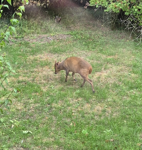
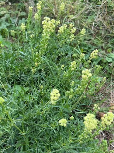
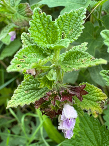
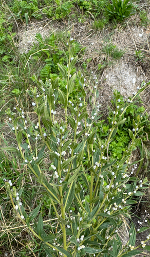
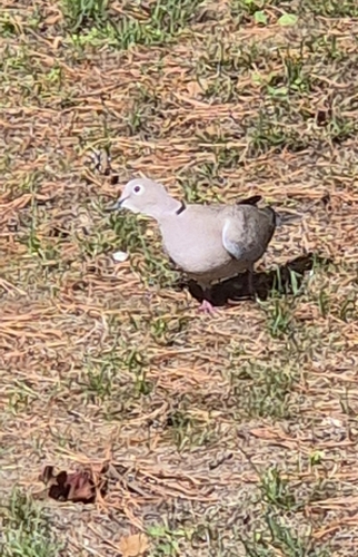
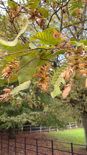
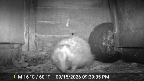
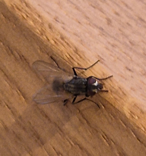
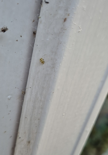
Research-grade observations from iNaturalist (within ~15 mi).
Events
Gallery
Official Identifiers
ONS — UK Office for National Statistics
- ONS code
- osgb4000000074571282
- Local type
- Town
- Region
- Eastern
api.postcodes.io / OS Open Names
Sources
- • Wikipedia
- • Wikidata
- • iNaturalist
- • Wikidata SPARQL (CC0) — population, area, elevation, inception, head of government, Commons image
- • ONS / OS Open Names — UK official place gazetteer, via api.postcodes.io (OS code, local type, county/unitary, district/borough, region)
- • ONS — UK Office for National Statistics — api.postcodes.io / OS Open Names