Browse / United Kingdom / England / Enfield
Enfield
Englandtown

Enfield
Demographic figures from UK Office for National Statistics. Overview below cites Wikipedia and may reference a different year.
City facts
Sister cities
Facts from Wikidata (CC0).
Overview
Enfield is a large town in north London, England, 10.1 miles (16.3 km) north of Charing Cross. It had a population of 156,858 in 2018. It includes the areas of Botany Bay, Brimsdown, Bulls Cross, Bullsmoor, Bush Hill Park, Clay Hill, Crews Hill, Enfield Highway, Enfield Lock, Enfield Town, Enfield Wash, Forty Hill, Freezywater, Gordon Hill, Grange Park, Hadley Wood, Ponders End, and World's End.
Read more on WikipediaHistory & geography
History
In Anglo-Saxon times, the manor of Enfield was held by Ansgar the Staller ( – 1085), a nobleman and staller to King Edward the Confessor (). The name 'Enfield' most likely came from Old English Ēanafeld or similar, meaning "open land belonging to a man called Ēana". At the time of the Domesday Book in 1086, the manor of Enfield, spelt 'Enfelde', was the property of Geoffrey de Mandeville, a powerful Norman granted large estates by William the Conqueror. A priest is recorded in the Domesday Book as holding about 30 acres of land in Enfield, leading some to believe that a priest may have ministered there at St Andrew's Church in this period, although the earliest written evidence of the parish church in Enfield dates from when the parish of Enfield (dedicated to St Andrew) and St Andrew's Church were endowed to the monastery of Walden Abbey in Essex in 1136. In 1303, by charter of King Edward I, nobleman Humphrey de Bohun and his heirs were granted a licence to hold a weekly market and two annual fairs, one on St Andrew's Day and another in September. The village green became a marketplace, making the town of Enfield (also known today as Enfield Town), at the core of the parish, a market town. The parish was the largest in Middlesex (if one excludes from the parish of Harrow on the Hill its Pinner north-west corner, which broke away in 1766); Enfield measured 12,460 acres in 1831, i.e. . Proximity to the megalopolis of London saw Enfield "engulfed" by the capital in the inter-war period of the 20th century. The parish church, located on the north side of the marketplace, is dedicated to St Andrew. While some masonry from the thirteenth century remains, the nave, north aisle, choir, and tower constructed of random rubble and flint, date from the late fourteenth century.…
Excerpted from the corresponding Wikipedia article (CC BY-SA).
Geography
Coordinates & boundaries from the US Census TIGER/Line shapefiles.
Climate
Air quality
Walkability
Amenities nearby
Wildlife & biodiversity
Most-observed species
- Common Wood-PigeonColumba palumbus Linnaeus, 1758 · Aves50,511
- Eurasian MagpiePica pica (Linnaeus, 1758) · Aves47,438
- Carrion CrowCorvus corone Linnaeus, 1758 · Aves46,922
- European RobinErithacus rubecula (Linnaeus, 1758) · Aves43,281
- Rock PigeonColumba livia J.F.Gmelin, 1789 · Aves40,069
- Eurasian Blue TitCyanistes caeruleus (Linnaeus, 1758) · Aves38,034
- Great TitParus major Linnaeus, 1758 · Aves37,154
- Rose-ringed ParakeetPsittacula krameri (Scopoli, 1769) · Aves35,940
Citizen-science & research observations from the Global Biodiversity Information Facility (GBIF).
Earthquake history
Most recent
- M 3.1 — 2020-09-225 km N of Aylesbury, United Kingdom
- M 3.9 — 2020-09-082 km WSW of Pitstone, United Kingdom
- M 3.3 — 2019-02-273 km SE of Dorking, United Kingdom
- M 2.8 — 2018-07-051 km S of Ewhurst, United Kingdom
- M 2.6 — 2018-06-275 km W of Capel, United Kingdom
- M 2.7 — 2018-04-014 km E of Holmwood, United Kingdom
Events from the USGS Earthquake Catalog (global) (FDSN Event Web Service).
Photos
Sights & places nearby
Notable people from here


People born within ~10 km, from Wikidata (CC0). Click any name for their Wikipedia article.
Nearby places in England
Geography & sun
Elevation, sunrise/sunset and daylight from Open-Meteo. Solar climatology from NASA POWER.
Nearby airports
Public attention
Pageview totals from the Wikimedia Pageviews API.
Books about Enfield
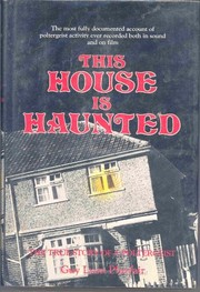

Search results from Open Library.
Recent natural events nearby
Ground air-quality sensors
Recently spotted species
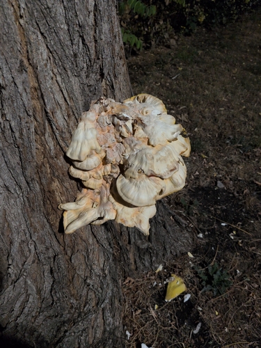
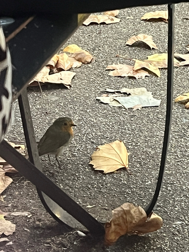
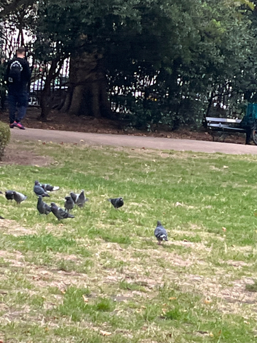
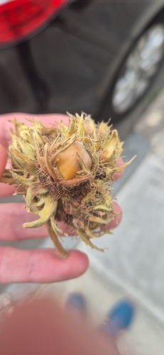

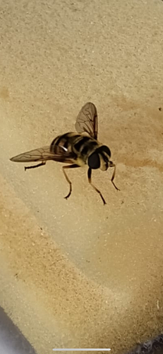


Research-grade observations from iNaturalist (within ~15 mi).
Events
Gallery
Official Identifiers
ONS — UK Office for National Statistics
- ONS code
- osgb4000000074343645
- Local type
- Other Settlement
- Region
- London
api.postcodes.io / OS Open Names
Sources
- • Wikipedia
- • Wikidata
- • USGS Earthquake Catalog (global feed)
- • GBIF (Global Biodiversity Information Facility)
- • iNaturalist
- • Open-Meteo / sunrise-sunset.org
- • Wikipedia Pageviews API
- • Open Library
- • ONS / OS Open Names — UK official place gazetteer, via api.postcodes.io (OS code, local type, county/unitary, district/borough, region)
- • ONS — UK Office for National Statistics — api.postcodes.io / OS Open Names