Browse / United Kingdom / England / Edgware
Edgware
Englandtown

Edgware
Demographic figures from UK Office for National Statistics. Overview below cites Wikipedia and may reference a different year.
City facts
Overview
Edgware is a suburban town in northwest London. It was an ancient parish in the county of Middlesex east of the ancient Watling Street in what is now the London Borough of Barnet but it is now informally considered to cover a wider area, including parts of the borough of Harrow. The district is located 10 miles (16 km) north-northwest of Charing Cross and has a generally suburban character. The urban-rural fringe includes some elevated woodland on a high gravel and sand ridge along the Hertfordshire border with Greater London.
Read more on WikipediaHistory & geography
History
The Romans made pottery at Brockley Hill, thought by some to be the site of Sulloniacis. Edgware does not appear in the Domesday survey of 1086. A manorial centre has, since at least 1216, been . Edgware Road follows the same line as the ancient Watling Street, an important Roman Road, and used in the medieval period by pilgrims. The Road was improved by the Edgware-Kilburn turnpike trust in 1711, and a number of the local inns functioned as a stop for coaches. By 1867 a railway line had been built between Edgware and Finsbury Park and a station was built. James Brydges, 1st Duke of Chandos built a stately home called Cannons in nearby Little Stanmore, around 1713 for £250,000 () and was by far the wealthiest resident in the vicinity at that time. By the 17th century Edgware had a small market selling cattle driven from other parts of England and fattened and sold locally. Local trades included butchers, tailors, colliers (charcoal sellers) and brewers. The market was held every week but petered out in 1790s. Edgware was associated with the highwayman Dick Turpin. The infamous scene of his worst incident, which happened on 4 February 1735, was when five gang members, including Turpin, broke into a farmhouse owned by Joseph Lawrence, called Earlsbury Farm. Lawrence was at least 70 (so considered fairly old) and yet Turpin et al. beat him with their pistols and tortured him by setting him on a fire whilst naked, before announcing that they would amputate his legs. While this was going on, the leader of the gang took a servant girl upstairs and raped her. Industry played a minor role in the economy of Edgware. There was a cattle and pleasure fair from 1760s to 1860s with horse racing between 1834 and 1855. Edgware had few residents for its size but saw some…
Geography
Edgware town centre lies about above sea level. Much of Edgware is steep, particularly around Edgwarebury Park (a Site of Nature Conservation Interest) and the Broadfields Estate. The Edgwarebury Brook (not to be confused with the Edgware Brook), is a tributary of Deans Brook. The Deans Brook and Edgware Brook, which form the historic southern boundary of the area, merge and take the name Silk Stream in the vicinity of Edgware Hospital (known as Redhill Hospital till 1948). The Silk Stream is a tributary of the River Brent, which it meets at Brent Reservoir. Open spaces in the area include Edgwarebury Park and Stoneyfields Park. Major roads in the vicinity include the A5, the A41 road (Watford Bypass) and the M1 motorway. The A5 Road (originally the Roman Watling Street) runs from central London by way of Edgware and onto Wroxeter in Shropshire. The Road is known as the High Street, Stone Grove and Brockley Hill as it runs along the Edgware/Little Stanmore parish boundary; immediately south of that boundary it is known as Burnt Oak Broadway. Further south it is known as Edgware Road, meaning the road to Edgware.
Excerpted from the corresponding Wikipedia article (CC BY-SA).
Geography
Coordinates & boundaries from the US Census TIGER/Line shapefiles.
Climate
Air quality
Walkability
Amenities nearby
Wildlife & biodiversity
Most-observed species
- Common Wood-PigeonColumba palumbus Linnaeus, 1758 · Aves57,163
- Eurasian MagpiePica pica (Linnaeus, 1758) · Aves52,719
- Carrion CrowCorvus corone Linnaeus, 1758 · Aves51,997
- European RobinErithacus rubecula (Linnaeus, 1758) · Aves48,618
- Rock PigeonColumba livia J.F.Gmelin, 1789 · Aves47,981
- Rose-ringed ParakeetPsittacula krameri (Scopoli, 1769) · Aves43,676
- Eurasian Blue TitCyanistes caeruleus (Linnaeus, 1758) · Aves41,367
- Great TitParus major Linnaeus, 1758 · Aves40,485
Citizen-science & research observations from the Global Biodiversity Information Facility (GBIF).
Earthquake history
Most recent
- M 3.1 — 2020-09-225 km N of Aylesbury, United Kingdom
- M 3.9 — 2020-09-082 km WSW of Pitstone, United Kingdom
- M 3.3 — 2019-02-273 km SE of Dorking, United Kingdom
- M 2.8 — 2018-07-051 km S of Ewhurst, United Kingdom
- M 2.6 — 2018-06-275 km W of Capel, United Kingdom
- M 2.7 — 2018-04-014 km E of Holmwood, United Kingdom
Events from the USGS Earthquake Catalog (global) (FDSN Event Web Service).
Photos
Sights & places nearby
Notable people from here
Nearby places in England
Geography & sun
Elevation, sunrise/sunset and daylight from Open-Meteo. Solar climatology from NASA POWER.
Nearby airports
Public attention
Pageview totals from the Wikimedia Pageviews API.
Books about Edgware


Search results from Open Library.
Recent natural events nearby
Ground air-quality sensors
Recently spotted species
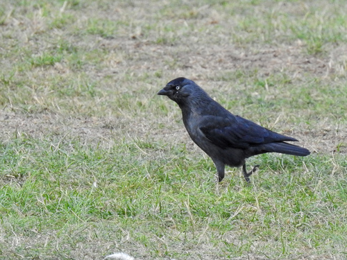
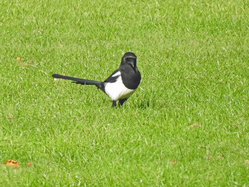
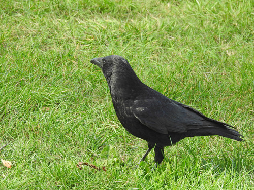
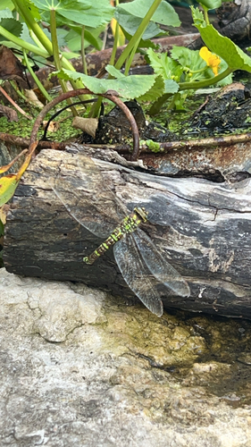
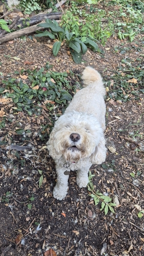
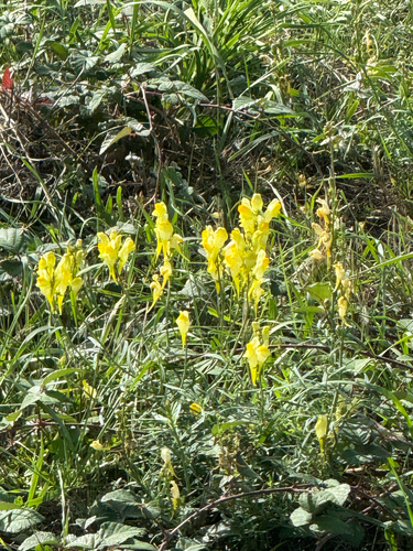
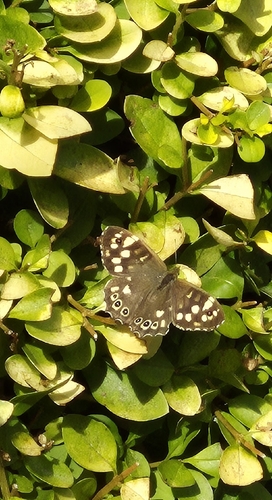
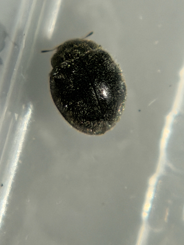
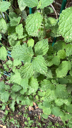
Research-grade observations from iNaturalist (within ~15 mi).
Events
Gallery
Official Identifiers
ONS — UK Office for National Statistics
- ONS code
- osgb4000000074343910
- Local type
- Other Settlement
- Region
- London
api.postcodes.io / OS Open Names
Sources
- • Wikipedia
- • USGS Earthquake Catalog (global feed)
- • GBIF (Global Biodiversity Information Facility)
- • iNaturalist
- • Open-Meteo / sunrise-sunset.org
- • Wikipedia Pageviews API
- • Open Library
- • ONS / OS Open Names — UK official place gazetteer, via api.postcodes.io (OS code, local type, county/unitary, district/borough, region)
- • ONS — UK Office for National Statistics — api.postcodes.io / OS Open Names