Browse / United Kingdom / England / Sydenham
Sydenham
Englandtown

Sydenham
Air quality index
Demographic figures from UK Office for National Statistics. Overview below cites Wikipedia and may reference a different year.
City facts
Facts from Wikidata (CC0).
Overview
Sydenham is a district of south-east London, England, which is shared between the London boroughs of Lewisham, Bromley and Southwark. Prior to the creation of the County of London in 1889, Sydenham was located in Kent, bordering Surrey. Historically, the area was very affluent, with the Crystal Palace being relocated to Sydenham Hill in 1854. Today, Sydenham is a diverse area, with a population of 28,378 and borders Forest Hill, Dulwich, Crystal Palace, Penge, Beckenham, Catford and Bellingham.
Read more on WikipediaHistory & geography
History
Originally known as Sippenham, Sydenham began as a small settlement, a few cottages among the woods, whose inhabitants grazed their animals and collected wood. In the 1640s, springs of water in what is now Wells Park were discovered to have medicinal properties, attracting crowds of people to the area. Sydenham grew rapidly in the 19th century after the introduction of the Croydon Canal in 1809 which linked the Grand Surrey Canal to Croydon and a reservoir was constructed in Sydenham. However, the canal was never successful and closed in 1836 resulting in it being the first canal to be abandoned by an Act of Parliament. The London & Croydon Railway purchased the canal for £40,250 and quickly converted the alignment for a railway from London Bridge to West Croydon, opening in 1839. After the railway opened potential gas companies began to consider the Sydenham area with the Crystal Palace and District Gas Company having works at Bell Green, which continued production until 1969; a retail park now occupies most of the site. In 1851 the Great Exhibition in Hyde Park was housed in an immense glass building, called the Crystal Palace. In 1854 the building was bought by a private company, dismantled and re-erected at Penge Peak on Sydenham Hill (now Crystal Palace Park). Exhibitions, concerts, conferences and sporting events were held at the Crystal Palace (until it burned down in 1936), and Sydenham became a fashionable area with many new houses being built. In 1871 the French impressionist painter Camille Pissarro produced The Avenue, Sydenham, a largely still recognisable view on today's Lawrie Park Avenue; the painting is now owned by the National Gallery. In 1860 the Walter Cobb department store at Lawrie Place, Kirkdale (now known as Cobbs Corner) opened, lasting…
Geography
Sydenham is approximately to the south east of Charing Cross. It is also at the centre of many of south London's major shopping districts being south of Lewisham, north west of Bromley and north of Croydon. Upper Sydenham and Sydenham Hill is located on the large Norwood Ridge formed of London Claygate beds deposits; Sydenham Hill is one of the highest points in London at 367 feet (112 m). Sydenham Hill Wood is a nine-hectare nature reserve located west of Sydenham Hill Road, along with Dulwich and Sydenham Hill Golf course. The hill was once covered by the Great North Wood which covered all of Sydenham, Norwood, Woodside, Gipsy Hill etc. In the 19th Century it was home to the spa and health resort of Sydenham Wells. The western parts of Sydenham, from Upper Sydenham and Forest Hill towards Crystal Palace Park is a more leafy, suburban area with some parts like the Lawrie Park and Thorpes areas being more affluent than others. Lower Sydenham at the bottom of more gentle slopes being east of Upper Sydenham, south of Forest Hill and west of Bellingham. The River Pool, a tributary of the River Ravensbourne straddles the east of Lower Sydenham along the Hayes railway line. The nearest Met Office climate station is based in Greenwich Park:
Excerpted from the corresponding Wikipedia article (CC BY-SA).
Geography
Coordinates & boundaries from the US Census TIGER/Line shapefiles.
Climate
Air quality
Current readings from Open-Meteo Air Quality API (Copernicus CAMS European reanalysis).
Walkability
Amenities nearby
Wildlife & biodiversity
Most-observed species
- Common Wood-PigeonColumba palumbus Linnaeus, 1758 · Aves63,485
- Carrion CrowCorvus corone Linnaeus, 1758 · Aves61,783
- Eurasian MagpiePica pica (Linnaeus, 1758) · Aves59,381
- European RobinErithacus rubecula (Linnaeus, 1758) · Aves56,060
- Rock PigeonColumba livia J.F.Gmelin, 1789 · Aves53,929
- Rose-ringed ParakeetPsittacula krameri (Scopoli, 1769) · Aves52,275
- Eurasian Blue TitCyanistes caeruleus (Linnaeus, 1758) · Aves47,270
- Great TitParus major Linnaeus, 1758 · Aves46,681
Citizen-science & research observations from the Global Biodiversity Information Facility (GBIF).
Earthquake history
Most recent
- M 3.1 — 2020-09-225 km N of Aylesbury, United Kingdom
- M 3.9 — 2020-09-082 km WSW of Pitstone, United Kingdom
- M 3.3 — 2019-02-273 km SE of Dorking, United Kingdom
- M 2.8 — 2018-07-051 km S of Ewhurst, United Kingdom
- M 2.6 — 2018-06-275 km W of Capel, United Kingdom
- M 2.7 — 2018-04-014 km E of Holmwood, United Kingdom
Events from the USGS Earthquake Catalog (global) (FDSN Event Web Service).
Photos
Sights & places nearby
Notable people from here


People born within ~10 km, from Wikidata (CC0). Click any name for their Wikipedia article.
Nearby places in England
Geography & sun
Elevation, sunrise/sunset and daylight from Open-Meteo. Solar climatology from NASA POWER.
Nearby airports
Public attention
Pageview totals from the Wikimedia Pageviews API.
Books about Sydenham

Search results from Open Library.
Recent natural events nearby
Ground air-quality sensors
Recently spotted species
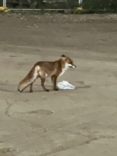
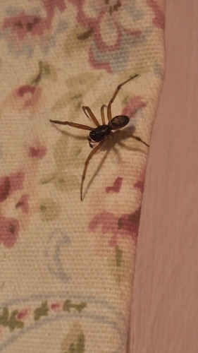
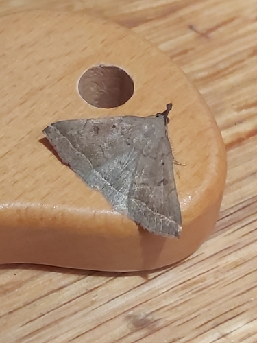
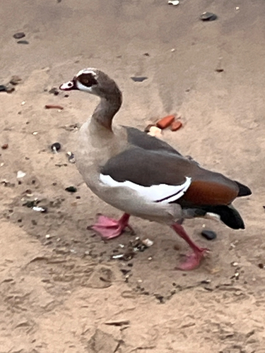
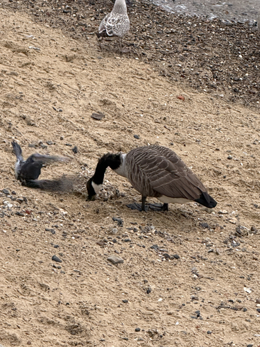
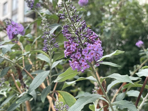
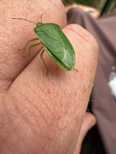
Research-grade observations from iNaturalist (within ~15 mi).
Events
Gallery
Sources
- • Wikipedia
- • Wikidata
- • Open-Meteo Air Quality (CAMS)
- • USGS Earthquake Catalog (global feed)
- • GBIF (Global Biodiversity Information Facility)
- • iNaturalist
- • Open-Meteo / sunrise-sunset.org
- • Wikipedia Pageviews API
- • Open Library