Browse / United Kingdom / England / Coulsdon
Coulsdon
Englandtown

Coulsdon
Demographic figures from UK Office for National Statistics. Overview below cites Wikipedia and may reference a different year.
City facts
Overview
Coulsdon is a town in south London, England, within the London Borough of Croydon. Coulsdon was an ancient parish in the county of Surrey that included the settlements of Purley and Kenley. It was merged with Sanderstead in 1915 to form the Coulsdon and Purley Urban District and has formed part of Greater London since 1965.
Read more on WikipediaHistory & geography
History
The location forms part of the North Downs. The hills contain chalk and flint. A few dry valleys with natural underground drainage merge and connect to the main headwater of the River Wandle, as a winterbourne (stream), so commonly called "the Bourne". Although this breaks onto the level of a few streets when the water table is exceptionally high, the soil is generally dry. The depression and wind gap was a natural route across the Downs for early populations. Fossil records exist from the Pleistocene period (about 4,000,000 years ago). There is evidence of human occupation from the Neolithic period, Iron Age, Anglo-Saxon, Bronze Age, Roman and Medieval. In 675, Frithwald, an Ealdorman and viceroy of King Wulfhere of Mercia, gave land at Cuthraedesdune to Chertsey Abbey. It appears as Colesdone in the Domesday Book. In 1537, the dissolution of the monasteries passed ownership to the King. In 1545, Henry VIII granted two homes with land in Whattingdon and Coulsdon, Welcombes and Lawrences, to Sir John Gresham, the manor having been owned by Chertsey Abbey in the 8th century, when it was recorded as Whatindone. From 1782 to 1921, it was owned by three generations of the Byron family, who had already purchased the sub-manor of Hooley. In 1801, the Byron family moved to live at Hooley House. Then, having sold a large amount of land in 1838 to the 'London to Brighton railway company', they moved from Hooley House to Portnall's Farm. In 1850, Hartley Farm was demolished and Coulsdon Court was built by Thomas Byron. It was said to have been constructed of the last bricks to be made locally at Crossways (at Coulsdon Road, Old Coulsdon). In 1854, to avoid the court, he adjusted the paths of some local roads, and created a gated drive from the public road. In 1863,…
Excerpted from the corresponding Wikipedia article (CC BY-SA).
Geography
Coordinates & boundaries from the US Census TIGER/Line shapefiles.
Climate
Air quality
Walkability
Amenities nearby
Wildlife & biodiversity
Most-observed species
- Common Wood-PigeonColumba palumbus Linnaeus, 1758 · Aves31,673
- European RobinErithacus rubecula (Linnaeus, 1758) · Aves30,248
- Carrion CrowCorvus corone Linnaeus, 1758 · Aves29,253
- Eurasian MagpiePica pica (Linnaeus, 1758) · Aves28,373
- Meadow BrownManiola jurtina (Linnaeus, 1758) · Insecta26,861
- Eurasian Blue TitCyanistes caeruleus (Linnaeus, 1758) · Aves26,597
- Great TitParus major Linnaeus, 1758 · Aves24,512
- Rose-ringed ParakeetPsittacula krameri (Scopoli, 1769) · Aves24,280
Citizen-science & research observations from the Global Biodiversity Information Facility (GBIF).
Earthquake history
Most recent
- M 3.1 — 2020-09-225 km N of Aylesbury, United Kingdom
- M 3.9 — 2020-09-082 km WSW of Pitstone, United Kingdom
- M 3.3 — 2019-02-273 km SE of Dorking, United Kingdom
- M 2.8 — 2018-07-051 km S of Ewhurst, United Kingdom
- M 2.6 — 2018-06-275 km W of Capel, United Kingdom
- M 2.7 — 2018-04-014 km E of Holmwood, United Kingdom
Events from the USGS Earthquake Catalog (global) (FDSN Event Web Service).
Photos
Sights & places nearby
Notable people from here


People born within ~10 km, from Wikidata (CC0). Click any name for their Wikipedia article.
Nearby places in England
Geography & sun
Elevation, sunrise/sunset and daylight from Open-Meteo. Solar climatology from NASA POWER.
Nearby airports
Public attention
Pageview totals from the Wikimedia Pageviews API.
Books about Coulsdon

Search results from Open Library.
Recent natural events nearby
Ground air-quality sensors
Recently spotted species
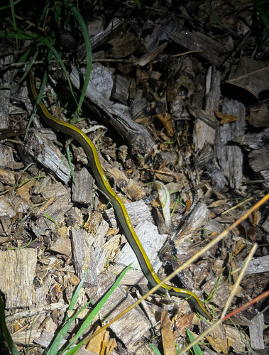
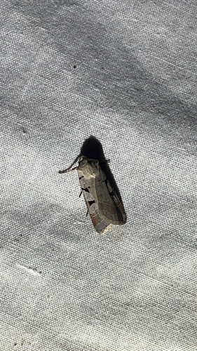
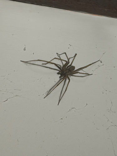
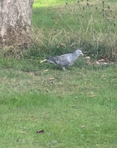
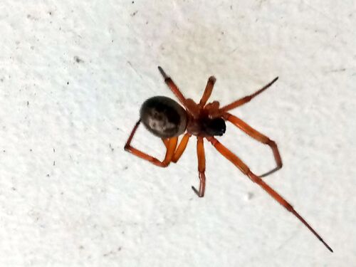
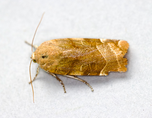
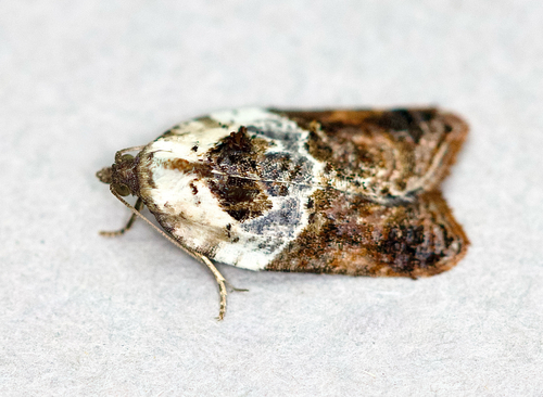
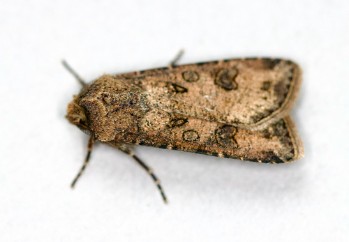
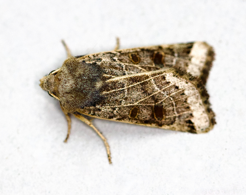
Research-grade observations from iNaturalist (within ~15 mi).
Events
Gallery
Sources
- • Wikipedia
- • Wikidata
- • USGS Earthquake Catalog (global feed)
- • GBIF (Global Biodiversity Information Facility)
- • iNaturalist
- • Open-Meteo / sunrise-sunset.org
- • Wikipedia Pageviews API
- • Open Library