Browse / United Kingdom / Scotland / Rutherglen
Rutherglen
Scotlandtown

Rutherglen
Total population
25,000
Demographic figures from UK Office for National Statistics. Overview below cites Wikipedia and may reference a different year.
City facts
Overview
Rutherglen is a town in South Lanarkshire, Scotland, immediately south-east of Glasgow, three miles from the city. The town is directly south of the River Clyde. Having previously existed as a separate Lanarkshire burgh, in 1975 Rutherglen lost its own local council and administratively became a component of the City of Glasgow District within the Strathclyde region. In 1996 the towns were reallocated to the South Lanarkshire council area.
Read more on WikipediaHistory & geography
History
By tradition, Rutherglen is said to have received its Royal Burgh status in 1126 by a Royal Charter from King David I of Scotland, who reigned from 1124 to 1153. However, a factual analysis of the state of knowledge, would conclude that there is no evidence that David I granted Royal Burgh status, nor granted it by a charter. That David I did probably grant Rutherglen some trading or even burghal status, is evidence by a William I charter granted sometime during the period 1179-1189. Thus, the only tenable conclusion is that sometime during David I's reign (1124-1153) he granted some form of privileges to Rutherglen, but not necessarily in 1126. Indeed, had such a royal burgh charter been granted for Rutherglen by David I, then the William I renewal of Rutherglen's status should proceed in standardised terms of ratifying any earlier charter, but instead it was worded to grant it anew, in greater solemnity with burghal status, and not only to embody it in a charter but also to identify its jurisdictional marches, which would be an unnecessary step if the charter had been intended to represent a ratification or renewal of any previous charter of erection. Important in this regard is the phrasing evidenced in the William I charter - et hac carta mea confirmasse. Thus, the William I charter implicitly represents the granting of a new status and it even contains a description of the trading boundary to flesh out the nature of this status. It has been well demonstrated that as none of Scotland’s Royal Burghs have documented evidence of charters from the period of David I, then they were all erected purely by word-of-mouth, without any charter. Generally, it has been believed that charters for such burghs were avoided because they all shared a sort of common constitution…
Geography
Since being granted Royal Burgh status by King David I in the 12th century, Rutherglen has grown considerably from its origins as little more than a single street, and although growth has been hampered to some extent by the proximity of the river Clyde to the north, the encroaching Glasgow urban sprawl to the west and the boundary with neighbouring Cambuslang to the east, it now covers a much larger area than its ancient parish boundaries. Historic areas near the Main Street such as Bankhead, Burnhill and Gallowflat have changed greatly over the decades, with the Farme Cross and Shawfield areas mostly occupied by industry of various types; the expansion of the village of Burnside (which falls under the Rutherglen boundary but has its own Community Council) to share a single suburban settlement with its larger neighbour, and the construction after World War II of peripheral housing schemes on land surrounding Burnside which had been either farms or rural estates (Blairbeth, Cathkin, Eastfield, Fernhill, Spittal and Springhall) have given the town a frequently changing character. The 1922 book Rutherglen Lore indicated a deliberate intention for the historic Burgh area to be encircled to the south by residential suburbs, while all land to its north would be dedicated to industry, It features several religious establishments, various pubs, shops and restaurants, historic and modern civic buildings and community facilities, all within a dense network of housing, mainly tenements. the webcam is no longer in operation, although later proposals were made by local civic figures to have another installed. The dominant architectural feature of the Main Street, on its north side, is the imposing Town Hall built in 1862 to a design by Charles Wilson. Having fallen into disrepair…
Excerpted from the corresponding Wikipedia article (CC BY-SA).
Geography
Coordinates & boundaries from the US Census TIGER/Line shapefiles.
Climate
Air quality
Walkability
Amenities nearby
Wildlife & biodiversity
Most-observed species
- Eurasian MagpiePica pica (Linnaeus, 1758) · Aves5,884
- Common Wood-PigeonColumba palumbus Linnaeus, 1758 · Aves5,487
- Carrion CrowCorvus corone Linnaeus, 1758 · Aves5,047
- European RobinErithacus rubecula (Linnaeus, 1758) · Aves4,239
- Eurasian BlackbirdTurdus merula Linnaeus, 1758 · Aves3,878
- Eurasian Blue TitCyanistes caeruleus (Linnaeus, 1758) · Aves3,742
- MallardAnas platyrhynchos Linnaeus, 1758 · Aves3,728
- Lesser Black-backed GullLarus fuscus Linnaeus, 1758 · Aves3,667
Citizen-science & research observations from the Global Biodiversity Information Facility (GBIF).
Earthquake history
Most recent
- M 3.5 — 2026-04-1642 km WNW of Comrie, United Kingdom
- M 3.9 — 2025-10-2029 km NW of Comrie, United Kingdom
- M 3.1 — 2021-11-1618 km NW of Lochgilphead, United Kingdom
- M 2.5 — 2018-08-301 km ENE of Gourock, United Kingdom
- M 2.6 — 2017-11-012 km NNW of Tarbert, United Kingdom
- M 3.6 — 2006-12-262 km NW of Dumfries, United Kingdom
Events from the USGS Earthquake Catalog (global) (FDSN Event Web Service).
Photos
Sights & places nearby
Notable people from here
Nearby places in Scotland
Geography & sun
Elevation, sunrise/sunset and daylight from Open-Meteo. Solar climatology from NASA POWER.
Nearby airports
Public attention
Pageview totals from the Wikimedia Pageviews API.
Books about Rutherglen
![[Report 1946]](https://covers.openlibrary.org/b/id/8129157-M.jpg)
![[Report 1971]](https://covers.openlibrary.org/b/id/8129193-M.jpg)
![[Report 1955]](https://covers.openlibrary.org/b/id/8129345-M.jpg)
![[Report 1950]](https://covers.openlibrary.org/b/id/8142730-M.jpg)
Search results from Open Library.
Recent natural events nearby
Ground air-quality sensors
Recently spotted species
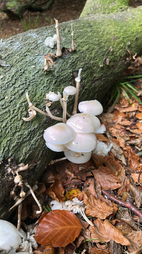
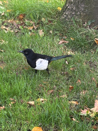
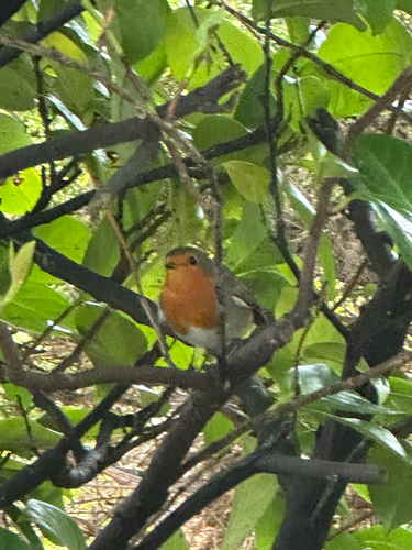
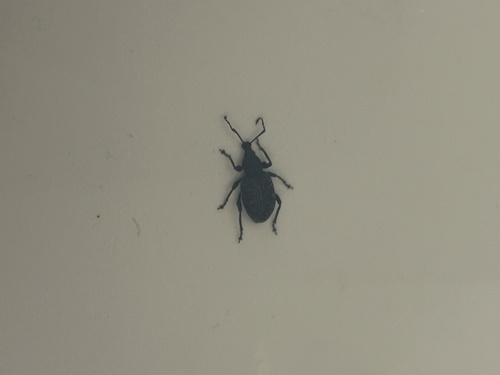
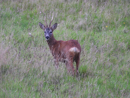
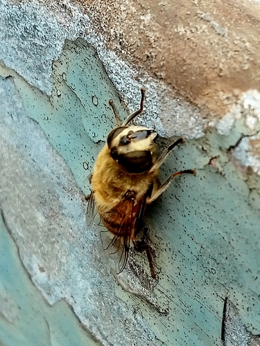
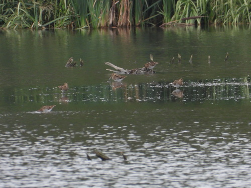
Research-grade observations from iNaturalist (within ~15 mi).
Events
Gallery
Official Identifiers
ONS — UK Office for National Statistics
- ONS code
- osgb4000000074547353
- Local type
- Town
- Region
- Scotland
api.postcodes.io / OS Open Names
Sources
- • Wikipedia
- • USGS Earthquake Catalog (global feed)
- • GBIF (Global Biodiversity Information Facility)
- • iNaturalist
- • Open-Meteo / sunrise-sunset.org
- • Wikipedia Pageviews API
- • Open Library
- • Wikidata SPARQL (CC0) — population, area, elevation, inception, head of government, Commons image
- • ONS / OS Open Names — UK official place gazetteer, via api.postcodes.io (OS code, local type, county/unitary, district/borough, region)
- • ONS — UK Office for National Statistics — api.postcodes.io / OS Open Names