Browse / United Kingdom / Scotland / Saltcoats
Saltcoats
Scotlandtown

Saltcoats
Total population
11,260
Demographic figures from UK Office for National Statistics. Overview below cites Wikipedia and may reference a different year.
City facts
Overview
Saltcoats is a town on the west coast of North Ayrshire, Scotland. The name is derived from the town's earliest industry when salt was harvested from the sea water of the Firth of Clyde, carried out in small cottages along the shore. It is part of the 'Three Towns' conurbation along with Ardrossan and Stevenston and is the third largest town in North Ayrshire.
Read more on WikipediaHistory & geography
History
The history of Saltcoats can be traced back to when the monks of Kilwinning Abbey discovered easily accessible coastal coal seams at Saltcoats in the 1200s, it expanded from small scattering of buildings. The coal proved an efficient source of heat for evaporating saltwater for the manufacturing of salt, and by the 1500s, King James V funded sheds along the shoreline, leading to a successful salt pans industry. This sector of the economy is where Saltcoats gets its name. In 1528, Saltcoats was granted status as a burgh leading to the creation of a market. By the middle of the 1600s, Saltcoats' primary sources of income were the import of corn and butter, as well as the sale of cattle and fish (mostly herring) to Ireland. Local farmers produced cheese, butter, wheat, oats, and potatoes. Cottage labourers in the town were given access to hand looms so they could weave muslins for the Glasgow and Paisley markets. On the outskirts of the town, chemical operations that produce magnesium and Epsom salts ran on waste materials from the salt-panning business. In the late 18th century, several shipyards operated at Saltcoats, producing some 60 to 70 ships. The leading shipbuilder was William Ritchie, but in 1790 he moved his business to Belfast. In 1793, it was recorded that Saltcoats had around 400 houses, with three operational shipyards remaining. By 1820, this had climbed to 600 houses, with a population of 3,413 being noted. By the early 19th century, the town had stopped producing ships. Saltcoats Town Hall, which dates back to 1826, is a Category B listed building. Saltcoats had various amenities, lodging, and entertainment required to develop into a prosperous seaside resort as a result of the vast, protected bay known as "South Beach" between Saltcoats and…
Excerpted from the corresponding Wikipedia article (CC BY-SA).
Geography
Coordinates & boundaries from the US Census TIGER/Line shapefiles.
Climate
Air quality
Walkability
Amenities nearby
Wildlife & biodiversity
Most-observed species
- Herring GullLarus argentatus Pontoppidan, 1763 · Aves19,609
- Western JackdawColoeus monedula (Linnaeus, 1758) · Aves17,704
- RookCorvus frugilegus Linnaeus, 1758 · Aves14,992
- Carrion CrowCorvus corone Linnaeus, 1758 · Aves13,167
- House SparrowPasser domesticus (Linnaeus, 1758) · Aves12,795
- Lesser Black-backed GullLarus fuscus Linnaeus, 1758 · Aves10,467
- Common Wood-PigeonColumba palumbus Linnaeus, 1758 · Aves9,906
- European StarlingSturnus vulgaris Linnaeus, 1758 · Aves9,793
Citizen-science & research observations from the Global Biodiversity Information Facility (GBIF).
Earthquake history
Most recent
- M 3.1 — 2021-11-1618 km NW of Lochgilphead, United Kingdom
- M 2.5 — 2018-08-301 km ENE of Gourock, United Kingdom
- M 2.6 — 2017-11-012 km NNW of Tarbert, United Kingdom
- M 3.6 — 2006-12-262 km NW of Dumfries, United Kingdom
- M 2.5 — 2005-12-313 km WSW of Auchterarder, United Kingdom
- M 2.5 — 2003-06-2012 km NNW of Balfron, United Kingdom
Events from the USGS Earthquake Catalog (global) (FDSN Event Web Service).
Photos
Sights & places nearby
Notable people from here
Nearby places in Scotland
Geography & sun
Elevation, sunrise/sunset and daylight from Open-Meteo. Solar climatology from NASA POWER.
Nearby airports
Public attention
Pageview totals from the Wikimedia Pageviews API.
Books about Saltcoats
![[Report 1938]](https://covers.openlibrary.org/b/id/13384396-M.jpg)
Search results from Open Library.
Recent natural events nearby
Ground air-quality sensors
Recently spotted species
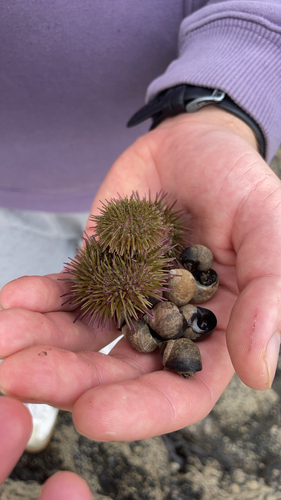
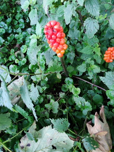
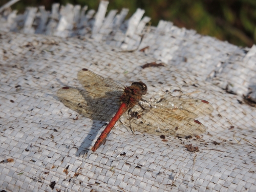
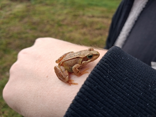
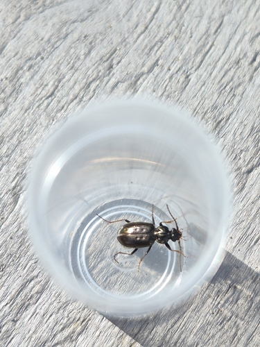
Research-grade observations from iNaturalist (within ~15 mi).
Events
Gallery
Official Identifiers
ONS — UK Office for National Statistics
- ONS code
- osgb4000000074570765
- Local type
- Town
- Region
- Scotland
api.postcodes.io / OS Open Names
Sources
- • Wikipedia
- • USGS Earthquake Catalog (global feed)
- • GBIF (Global Biodiversity Information Facility)
- • iNaturalist
- • Open-Meteo / sunrise-sunset.org
- • Wikipedia Pageviews API
- • Open Library
- • Wikidata SPARQL (CC0) — population, area, elevation, inception, head of government, Commons image
- • ONS / OS Open Names — UK official place gazetteer, via api.postcodes.io (OS code, local type, county/unitary, district/borough, region)
- • ONS — UK Office for National Statistics — api.postcodes.io / OS Open Names