Browse / United Kingdom / England / Sheffield
Sheffield
Englandcity

Sheffield
Total population
547,000
Air quality index
Demographic figures from UK Office for National Statistics. Overview below cites Wikipedia and may reference a different year.
City facts
Facts from Wikidata (CC0).
Overview
Sheffield is a city in South Yorkshire, England, situated 29 miles (47 km) south of Leeds and 32 miles (51 km) east of Manchester. It is the second largest city in Yorkshire and the administrative centre of the larger metropolitan borough of Sheffield, which had an estimated population of 579,517 in 2025.
Read more on WikipediaHistory & geography
History
The area now occupied by the City of Sheffield is believed to have been inhabited since at least the late Upper Paleolithic, about 12,800 years ago. The earliest evidence of human occupation in the Sheffield area was found at Creswell Crags to the east of the city. In the Iron Age the area became the southernmost territory of the Pennine tribe called the Brigantes. It is this tribe who are thought to have constructed several hillforts in and around Sheffield. Gradually, Anglian settlers pushed west from the kingdom of Deira. A Britonnic presence within the Sheffield area is evidenced by two settlements called Wales and Waleswood close to Sheffield. The settlements that grew and merged to form Sheffield, however, date from the second half of the first millennium, and are of Anglo-Saxon and Danish origin. In Anglo-Saxon times, the Sheffield area straddled the border between the kingdoms of Mercia and Northumbria. The Anglo-Saxon Chronicle reports that Eanred of Northumbria submitted to Egbert of Wessex at the hamlet of Dore (now a suburb of south west Sheffield) in 829, a key event in the unification of the kingdom of England under the House of Wessex. After the Norman conquest of England, insurrection by the populace led to the devastation of the Sheffield area during the Harrying of the North and Sheffield Castle was built to control the ruined local settlements. A small town developed that is the nucleus of the modern city. By 1296, a market had been established at what is now known as Castle Square, and Sheffield subsequently grew into a small market town. In the 14th century, Sheffield was already noted for the production of knives, as mentioned in Geoffrey Chaucer's The Canterbury Tales. Cardinal Thomas Wolsey stayed at Sheffield Manor for 16–18 days in 1530…
Geography
Sheffield is located at . It lies adjacent to Rotherham, from which it is largely separated by the M1 motorway. Although Barnsley Metropolitan Borough also borders Sheffield to the north, the town itself is a few miles further away. The southern and western borders of the city are shared with Derbyshire; in the first half of the 20th century Sheffield extended its borders south into Derbyshire, annexing a number of North Midlands villages, including Totley, Dore and the area now known as Mosborough Townships. Sheffield is a geographically diverse city. It nestles in the eastern foothills of the Pennines, between the main upland range and Peak District National Park to the west, and the lower-lying South Yorkshire Coalfield to the east. It lies at the confluence of five rivers: Don, Sheaf, Rivelin, Loxley and Porter. As a result, much of the city is built on hillsides with views into the city centre or out to the countryside. Blake Street, in the S6 postcode area, is the third-steepest residential street in England, with a gradient of 16.6°. The highest point in the City of Sheffield is near High Stones and Margery Hill. The city's lowest point is just above sea level near Blackburn Meadows. However, 79% of the housing in the city is between above sea level and the highest residential street is Redmires Lane at . This variation of altitudes across Sheffield has led to frequent claims, particularly among locals, that the city was built on Seven Hills. As this claim is disputed, it likely originated as a joke referencing the Seven Hills of Rome. Estimated to contain around 4.5 million trees, which was further reinforced when it won the 2005 Entente Florale competition. With more than 250 parks, woodlands and gardens, it has over 170 woodlands…
Excerpted from the corresponding Wikipedia article (CC BY-SA).
Geography
Coordinates & boundaries from the US Census TIGER/Line shapefiles.
Climate
10-year averages from ERA5 reanalysis (Open-Meteo).
Air quality
Current readings from Open-Meteo Air Quality API (Copernicus CAMS European reanalysis).
Walkability
Amenities nearby
Wildlife & biodiversity
Most-observed species
- Common Wood-PigeonColumba palumbus Linnaeus, 1758 · Aves16,289
- European RobinErithacus rubecula (Linnaeus, 1758) · Aves14,860
- Eurasian BlackbirdTurdus merula Linnaeus, 1758 · Aves14,500
- Carrion CrowCorvus corone Linnaeus, 1758 · Aves13,114
- Eurasian MagpiePica pica (Linnaeus, 1758) · Aves12,996
- Eurasian Blue TitCyanistes caeruleus (Linnaeus, 1758) · Aves12,823
- MallardAnas platyrhynchos Linnaeus, 1758 · Aves11,424
- Great TitParus major Linnaeus, 1758 · Aves9,607
Citizen-science & research observations from the Global Biodiversity Information Facility (GBIF).
Earthquake history
Most recent
- M 2.7 — 2023-06-282 km SE of Cheadle, United Kingdom
- M 3.6 — 2022-05-302 km ESE of Prees, United Kingdom
- M 3.2 — 2022-02-215 km N of Hockley, United Kingdom
- M 2.8 — 2015-09-222 km W of Cottesmore, United Kingdom
- M 3.8 — 2015-01-282 km WSW of Market Overton, United Kingdom
- M 2.6 — 2014-10-282 km NNE of Hucknall, United Kingdom
Events from the USGS Earthquake Catalog (global) (FDSN Event Web Service).
Photos
Sights & places nearby
Notable people from here


People born within ~10 km, from Wikidata (CC0). Click any name for their Wikipedia article.
Nearby places in England
Geography & sun
Elevation, sunrise/sunset and daylight from Open-Meteo. Solar climatology from NASA POWER.
Nearby airports
Public attention
Pageview totals from the Wikimedia Pageviews API.
Books about Sheffield


Search results from Open Library.
Recent natural events nearby
Ground air-quality sensors
Recently spotted species

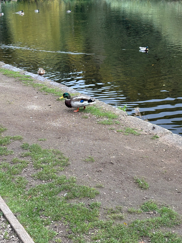
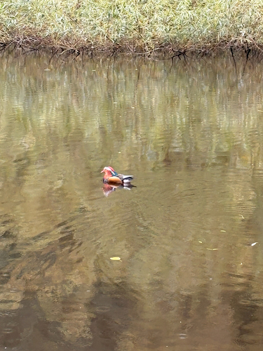
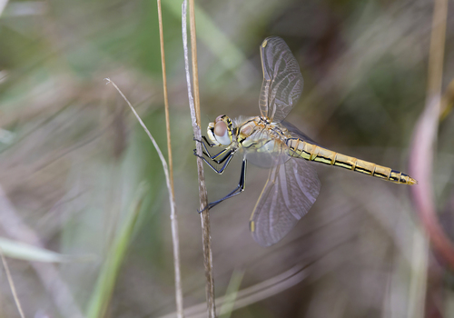
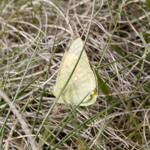
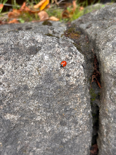
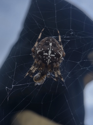
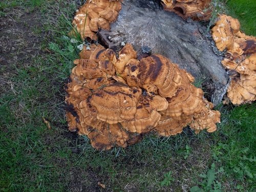
Research-grade observations from iNaturalist (within ~15 mi).
Events
Notable, recurring, and historical events associated with Sheffield, sourced from Wikidata.
- 2022 British Swimming ChampionshipsJan 1, 2022planned event
- Dec 13, 1998
Source: Wikidata (CC0).
Gallery
Geotagged photos within ~6 miles of Sheffield, from Wikimedia Commons contributors.


Photos via Wikimedia Commons — see each image page for license & attribution.
Official Identifiers
ONS — UK Office for National Statistics
- ONS code
- osgb4000000074569935
- Local type
- City
- Region
- Yorkshire and the Humber
api.postcodes.io / OS Open Names
Sources
- • Wikipedia
- • Open-Meteo (ERA5 reanalysis)
- • Wikimedia Commons
- • Wikidata
- • Open-Meteo Air Quality (CAMS)
- • USGS Earthquake Catalog (global feed)
- • GBIF (Global Biodiversity Information Facility)
- • iNaturalist
- • Open-Meteo / sunrise-sunset.org
- • Wikipedia Pageviews API
- • Open Library
- • Wikidata SPARQL (CC0) — population, area, elevation, inception, head of government, Commons image
- • ONS / OS Open Names — UK official place gazetteer, via api.postcodes.io (OS code, local type, county/unitary, district/borough, region)
- • ONS — UK Office for National Statistics — api.postcodes.io / OS Open Names