Browse / United Kingdom / England / Stow-on-the-Wold
Stow-on-the-Wold
Englandtown

Stow-on-the-Wold
Demographic figures from UK Office for National Statistics. Overview below cites Wikipedia and may reference a different year.
City facts
Facts from Wikidata (CC0).
Overview
Stow-on-the-Wold is a market town and civil parish in Gloucestershire, England, on top of an 800-foot hill at the junction of main roads through the Cotswolds, including the Fosse Way (A429), which is of Roman origin. The town was founded by Norman lords to absorb trade from the roads converging there. Fairs have been held by royal charter since 1330; a horse fair is still held on the edge of town nearest to Oddington in May and October each year.
Read more on WikipediaHistory & geography
History
Stow-on-the-Wold, originally called Stow St Edward or Edwardstow after the town's patron saint Edward, probably Edward the Martyr, is said to have originated as an Iron Age fort on this defensive position on a hill. There are other sites of similar forts in the area, and Stone Age and Bronze Age burial mounds are common throughout the area. It is likely that Maugersbury was the primary settlement of the parish before Stow was built as a marketplace on the hilltop nearer to the crossroads, to take advantage of passing trade. The name Stow derives from the Old English stōw meaning 'place'. Originally the small settlement was controlled by abbots from the local abbey, and when the first weekly market was set up in 1107 by Henry I, he decreed that the proceeds go to Evesham Abbey. In 1476, Edward IV replaced that with two 5-day fairs, two days before and two days after the feast of St Philip and St James in May, and similarly in October on the feast of Edward the Confessor (the saint associated with the town). The aim of the annual charter fairs was to establish Stow as a place to trade and alleviate the unpredictability of the passing trade. These fairs were located in the square, which is still the town centre. This battle took place one mile north of Stow-on-the-Wold. After initial royalist success, the superiority of the parliamentary forces overwhelmed and routed the royalist forces. Fleeing the field, the royalists fought a running fight back into the streets of Stow, where the final action took place, culminating in surrender in the market square. As the fairs grew in fame and importance, so did the town. Traders dealing in livestock added many handmade goods, and the wool trade was always prominent. Daniel Defoe reported in the 18th century that 20,000 sheep were…
Excerpted from the corresponding Wikipedia article (CC BY-SA).
Geography
Coordinates & boundaries from the US Census TIGER/Line shapefiles.
Climate
Air quality
Walkability
Amenities nearby
Wildlife & biodiversity
Most-observed species
- Meadow BrownManiola jurtina (Linnaeus, 1758) · Insecta2,077
- Common Wood-PigeonColumba palumbus Linnaeus, 1758 · Aves1,758
- European RobinErithacus rubecula (Linnaeus, 1758) · Aves1,350
- Red KiteMilvus milvus (Linnaeus, 1758) · Aves1,331
- Eurasian BlackbirdTurdus merula Linnaeus, 1758 · Aves1,313
- Western JackdawColoeus monedula (Linnaeus, 1758) · Aves1,279
- Carrion CrowCorvus corone Linnaeus, 1758 · Aves1,077
- Small HeathCoenonympha pamphilus (Linnaeus, 1758) · Insecta1,072
Citizen-science & research observations from the Global Biodiversity Information Facility (GBIF).
Earthquake history
Most recent
- M 3.4 — 2023-02-241 km ENE of Brynmawr, United Kingdom
- M 3.2 — 2022-02-215 km N of Hockley, United Kingdom
- M 3.1 — 2020-09-225 km N of Aylesbury, United Kingdom
- M 3.9 — 2020-09-082 km WSW of Pitstone, United Kingdom
- M 2.9 — 2015-01-271 km ENE of Winchester, United Kingdom
- M 3.9 — 2008-10-262 km N of Bromyard, United Kingdom
Events from the USGS Earthquake Catalog (global) (FDSN Event Web Service).
Photos
Sights & places nearby
Notable people from here
Nearby places in England
Geography & sun
Elevation, sunrise/sunset and daylight from Open-Meteo. Solar climatology from NASA POWER.
Nearby airports
Public attention
Pageview totals from the Wikimedia Pageviews API.
Books about Stow-on-the-Wold

Search results from Open Library.
Recent natural events nearby
Ground air-quality sensors
Recently spotted species

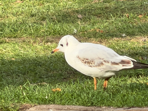
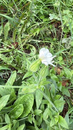
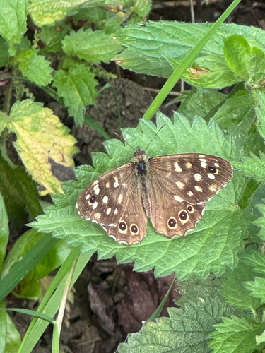
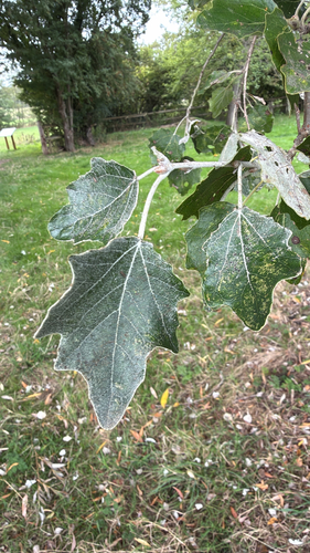
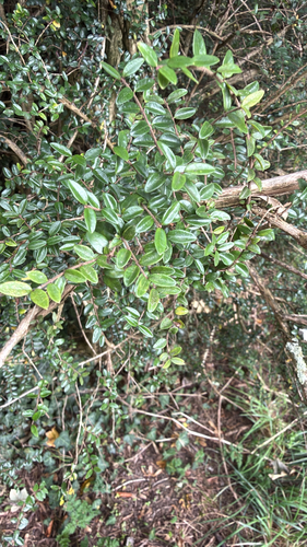
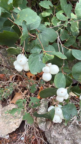

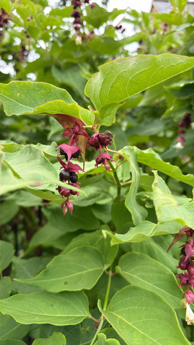
Research-grade observations from iNaturalist (within ~15 mi).
Events
Gallery
Official Identifiers
ONS — UK Office for National Statistics
- ONS code
- osgb4000000074565939
- Local type
- Town
- Region
- South West
api.postcodes.io / OS Open Names
Sources
- • Wikipedia
- • Wikidata
- • USGS Earthquake Catalog (global feed)
- • GBIF (Global Biodiversity Information Facility)
- • iNaturalist
- • Open-Meteo / sunrise-sunset.org
- • Wikipedia Pageviews API
- • Open Library
- • ONS / OS Open Names — UK official place gazetteer, via api.postcodes.io (OS code, local type, county/unitary, district/borough, region)
- • ONS — UK Office for National Statistics — api.postcodes.io / OS Open Names