Browse / United Kingdom / England / Telford
Telford
Englandtown

Telford
Total population
180,000
Air quality index
Demographic figures from UK Office for National Statistics. Overview below cites Wikipedia and may reference a different year.
City facts
Facts from Wikidata (CC0).
Overview
Telford is a town in the Telford and Wrekin borough in Shropshire, England. The wider borough covers the town, its suburbs and surrounding towns and villages. The town is close to the county's eastern boundary, and near the River Severn. The notable hill near the town called The Wrekin is part of the Shropshire Hills, an Area of Outstanding Natural Beauty. To the south of the town is the Ironbridge Gorge, a UNESCO World Heritage Site. Places around the Ironbridge Gorge area, which were developed into the town itself, are internationally recognised as being "The Birthplace of Industry" being to a large extent constructed during the Industrial Revolution on the Shropshire Coalfield. The town is the main administrative centre for Telford and Wrekin Council.
Read more on WikipediaHistory & geography
History
Early settlement in the area was thought to be on the land that sloped up from the Weald Moors (an area north of the town centre) towards the line along which the Roman Watling Street was built. Farmland surrounded three large estates in the 10th century, namely Wellington, Wrockwardine and Lilleshall. The area was the site of the 1821 Cinderloo Uprising, which saw 3,000 people protest against the lowering of wages for those working in the local coal industry. The protests resulted in the deaths of three striking colliers. The New Town was first designated on 16 January 1963 by the Conservative administration as Dawley New Town, covering of Dawley, Wenlock, Oakengates, Wellington Rural District and Shifnal Rural District. Development started, guided by the Dawley New Town Development Corporation, with the first homes on the new Sutton Hill housing estate being occupied in 1967. Initial planning and design concepts for Dawley New Town were produced by the Birmingham-based John Madin Design Group. The Minister proposed an extension of in 1968 (taking in the historic area of Ironbridge Gorge). The Dawley New Town (Designation) Amendment (Telford) Order was made on 29 November 1968, extending the New Town area by of "land lying within the urban districts of Oakengates and Wellington and the rural districts of Shifnal and Wellington". The Order also renamed the new town Telford, after the Scottish-born civil engineer Thomas Telford, who in 1787 became Surveyor of Public Works for Shropshire. Other suggested names at the time were Dawelloak and Wrekin Forest City. Most of the infrastructure was constructed from the late 1960s and throughout the 1970s, with the major housing and commercial development occurring over three decades up to the early 1990s when the…
Geography
Telford town centre lies about east/south-east of Shrewsbury and north-west of Wolverhampton. The town covers 7,803 hectares (30.13 square miles) and its southern and eastern parts, between the Severn Gorge and Donnington Wood, include the East Shropshire coalfield. North and north-west Telford lie beyond the coalfield's boundary fault on sandstone beds which, along with other Triassic formations, prevail over much of the North Shropshire plain. The town centre stands on a watershed, with land to the south draining towards the River Severn and to the north sloping gently down towards the Weald Moors. The town is dominated by the Wrekin, a large hill of 407 m (1335 ft), south-west of Wellington, straddling the border with the unitary Shropshire Council (before the latter's creation in 2009 the borough of Shrewsbury and Atcham).
Excerpted from the corresponding Wikipedia article (CC BY-SA).
Geography
Coordinates & boundaries from the US Census TIGER/Line shapefiles.
Climate
Air quality
Current readings from Open-Meteo Air Quality API (Copernicus CAMS European reanalysis).
Walkability
Amenities nearby
Wildlife & biodiversity
Most-observed species
- Common Wood-PigeonColumba palumbus Linnaeus, 1758 · Aves3,435
- European RobinErithacus rubecula (Linnaeus, 1758) · Aves3,262
- Eurasian BlackbirdTurdus merula Linnaeus, 1758 · Aves3,188
- Eurasian Blue TitCyanistes caeruleus (Linnaeus, 1758) · Aves3,062
- Carrion CrowCorvus corone Linnaeus, 1758 · Aves2,861
- Eurasian MagpiePica pica (Linnaeus, 1758) · Aves2,696
- MallardAnas platyrhynchos Linnaeus, 1758 · Aves2,600
- Great TitParus major Linnaeus, 1758 · Aves2,564
Citizen-science & research observations from the Global Biodiversity Information Facility (GBIF).
Earthquake history
Most recent
- M 2.7 — 2023-06-282 km SE of Cheadle, United Kingdom
- M 3.6 — 2022-05-302 km ESE of Prees, United Kingdom
- M 3.2 — 2022-02-215 km N of Hockley, United Kingdom
- M 2.6 — 2014-10-282 km NNE of Hucknall, United Kingdom
- M 2.9 — 2013-01-180 km NE of Hathern, United Kingdom
- M 3.9 — 2008-10-262 km N of Bromyard, United Kingdom
Events from the USGS Earthquake Catalog (global) (FDSN Event Web Service).
Photos
Sights & places nearby
Notable people from here


People born within ~10 km, from Wikidata (CC0). Click any name for their Wikipedia article.
Nearby places in England
Geography & sun
Elevation, sunrise/sunset and daylight from Open-Meteo. Solar climatology from NASA POWER.
Nearby airports
Public attention
Pageview totals from the Wikimedia Pageviews API.
Books about Telford


Search results from Open Library.
Recent natural events nearby
Ground air-quality sensors
Recently spotted species
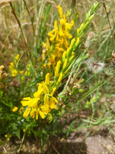

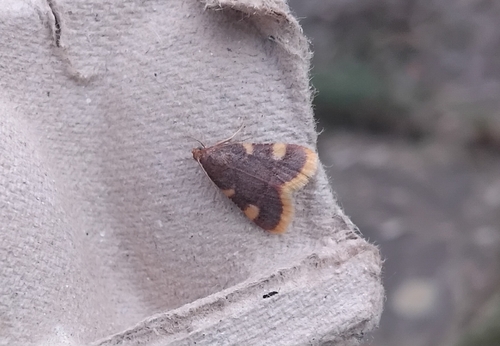
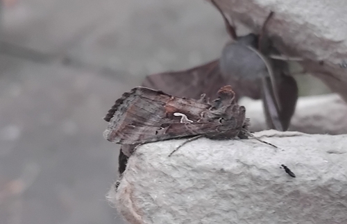
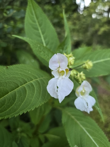
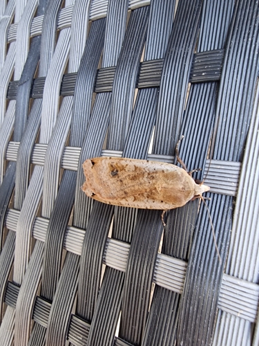
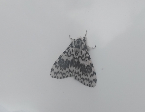
Research-grade observations from iNaturalist (within ~15 mi).
Events
Gallery
Geotagged photos within ~6 miles of Telford, from Wikimedia Commons contributors.
 0 mi
0 mi 0 mi
0 mi 0 mi
0 mi 0 mi
0 mi 0 mi
0 mi 0 mi
0 mi 0.1 mi
 0.1 mi
 0.1 mi
 0.1 mi
 0.1 mi
_-_geograph.org.uk_-_3763508.jpg) 0.1 mi
0.1 mi 0.1 mi
 0.1 mi
 0.1 mi
 0.1 mi
 0.1 mi
 0.1 mi
 0.1 mi
 0.1 mi
 0.1 mi
 0.1 mi
 0.1 mi
 0.1 mi
Photos via Wikimedia Commons — see each image page for license & attribution.
Official Identifiers
ONS — UK Office for National Statistics
- ONS code
- osgb4000000074563030
- Local type
- Town
- Region
- West Midlands
api.postcodes.io / OS Open Names
Sources
- • Wikipedia
- • Wikimedia Commons
- • Wikidata
- • Open-Meteo Air Quality (CAMS)
- • USGS Earthquake Catalog (global feed)
- • GBIF (Global Biodiversity Information Facility)
- • iNaturalist
- • Open-Meteo / sunrise-sunset.org
- • Wikipedia Pageviews API
- • Open Library
- • Wikidata SPARQL (CC0) — population, area, elevation, inception, head of government, Commons image
- • ONS / OS Open Names — UK official place gazetteer, via api.postcodes.io (OS code, local type, county/unitary, district/borough, region)
- • ONS — UK Office for National Statistics — api.postcodes.io / OS Open Names