Browse / United Kingdom / England / Wakefield
Wakefield
Englandcity

Wakefield
Total population
322,300
Air quality index
Demographic figures from UK Office for National Statistics. Overview below cites Wikipedia and may reference a different year.
City facts
Facts from Wikidata (CC0).
Overview
Wakefield is a cathedral city in West Yorkshire, England, located on the River Calder. The city had a population of 109,766 in the 2021 census, up from 99,251 in the 2011 census. The city is the administrative centre of the wider Metropolitan Borough of Wakefield, which had a 2025 population of 369,450, the 26th most populous district in England. It is part of the West Yorkshire Built-up Area and the Yorkshire and the Humber region.
Read more on WikipediaHistory & geography
History
The name Wakefield may derive from 'Waca's field' – the open land belonging to someone named 'Waca' – or could have evolved from the Old English word wacu, meaning 'a watch or wake', and feld, an open field in which a wake or festival was held. In the Domesday Book of 1086, it was written Wachefeld and also as Wachefelt. Flint and stone tools and later bronze and iron implements have been found at Lee Moor and Lupset in the Wakefield area showing evidence of human activity since prehistoric times. This part of Yorkshire was home to the Brigantes until the Roman occupation in AD 43. A Roman road from Pontefract passing Streethouse, Heath Common, Ossett Street Side, through Kirklees and on to Manchester crossed the River Calder by a ford at Wakefield near the site of Wakefield Bridge. A large group of coin moulds, the Lingwell Gate coin moulds, representing Romano-British coin forgery were found at Lingwell Gate between 1697 and 1879. Wakefield was probably occupied again, this time by the Angles, in the 5th or 6th century, and after AD 876 the area was controlled by the Vikings who founded twelve hamlets or thorpes around Wakefield. They divided the area into wapentakes and Wakefield was part of the Wapentake of Agbrigg. The settlement grew near a crossing place on the River Calder around three roads, Westgate, Northgate and Kirkgate. The "gate" suffix derives from Old Norse ' meaning road and kirk, from ' indicates there was a church. Before 1066 the manor of Wakefield belonged to Edward the Confessor and it passed to William the Conqueror after the Battle of Hastings. After the Conquest Wakefield was a victim of the Harrying of the North in 1069 when William the Conqueror took revenge on the local population for resistance to Norman rule. The…
Geography
Wakefield is south-east of Leeds and south-west of York on the eastern edge of the Pennines in the lower Calder Valley. The city centre is sited on a low hill on the north bank of the River Calder close to a crossing place where it is spanned by the 14th-century, nine-arched, stone Chantry Bridge and a reinforced concrete bridge built in 1929–1930. It is at the junction of major north–south routes to Sheffield, Leeds and Doncaster and west–east routes to Huddersfield, Dewsbury and Pontefract. Wakefield is within the area of the Nottinghamshire, Derbyshire & Yorkshire coalfield and lies on the middle coal measures and sandstones laid down in the Carboniferous period. Wakefield includes the former outlying villages of Alverthorpe, Thornes, Sandal, Portobello, Belle Vue, Agbrigg, Lupset, Kettlethorpe and Flanshaw. In the 2011 Census, Newton Hill, Outwood, Stanley and Wrenthorpe were counted as parts of Wakefield, having been classified separately in the 2001 Census.
Excerpted from the corresponding Wikipedia article (CC BY-SA).
Geography
Coordinates & boundaries from the US Census TIGER/Line shapefiles.
Climate
Air quality
Current readings from Open-Meteo Air Quality API (Copernicus CAMS European reanalysis).
Walkability
Amenities nearby
Wildlife & biodiversity
Most-observed species
- Common Wood-PigeonColumba palumbus Linnaeus, 1758 · Aves16,669
- Eurasian MagpiePica pica (Linnaeus, 1758) · Aves14,318
- Eurasian BlackbirdTurdus merula Linnaeus, 1758 · Aves13,251
- Carrion CrowCorvus corone Linnaeus, 1758 · Aves13,068
- European RobinErithacus rubecula (Linnaeus, 1758) · Aves11,639
- Eurasian Blue TitCyanistes caeruleus (Linnaeus, 1758) · Aves11,122
- Black-headed GullChroicocephalus ridibundus (Linnaeus, 1766) · Aves11,016
- MallardAnas platyrhynchos Linnaeus, 1758 · Aves9,792
Citizen-science & research observations from the Global Biodiversity Information Facility (GBIF).
Earthquake history
Most recent
- M 3.4 — 2025-12-030 km ESE of Carnforth, United Kingdom
- M 2.7 — 2023-06-282 km SE of Cheadle, United Kingdom
- M 2.8 — 2020-01-231 km NW of Stockton-on-Tees, United Kingdom
- M 2.6 — 2014-10-282 km NNE of Hucknall, United Kingdom
- M 2.9 — 2013-01-180 km NE of Hathern, United Kingdom
- M 3.6 — 2011-01-035 km S of Masham, United Kingdom
Events from the USGS Earthquake Catalog (global) (FDSN Event Web Service).
Photos
Sights & places nearby
Notable people from here


People born within ~10 km, from Wikidata (CC0). Click any name for their Wikipedia article.
Nearby places in England
Geography & sun
Elevation, sunrise/sunset and daylight from Open-Meteo. Solar climatology from NASA POWER.
Nearby airports
Public attention
Pageview totals from the Wikimedia Pageviews API.
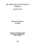
Books about Wakefield

Search results from Open Library.
Recent natural events nearby
Ground air-quality sensors
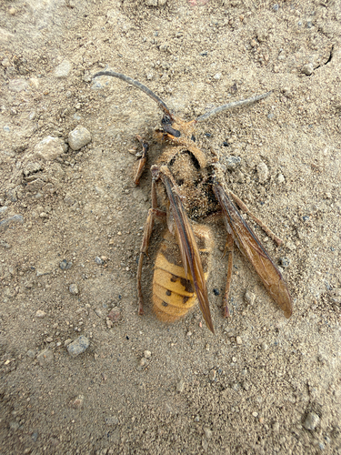
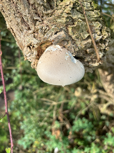
Recently spotted species
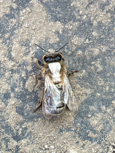
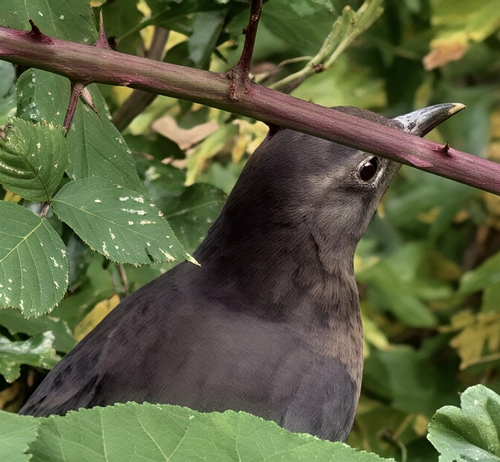
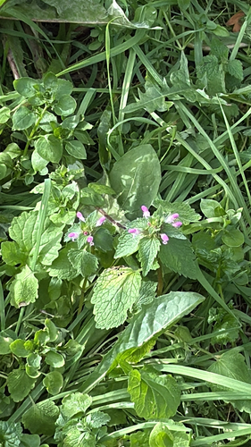
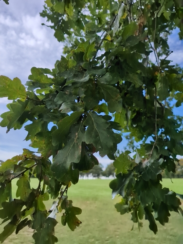
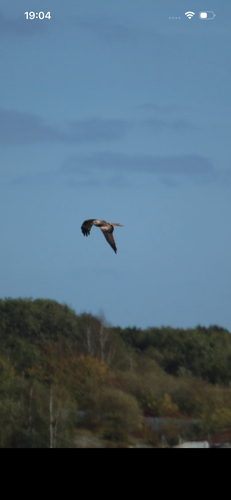
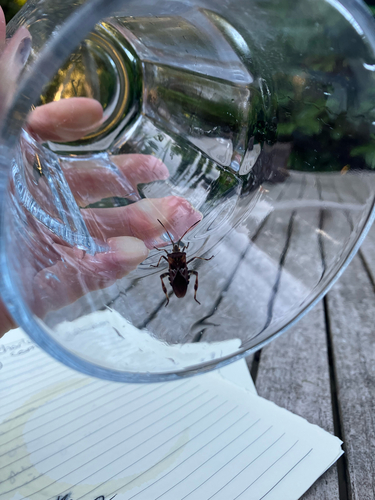
Research-grade observations from iNaturalist (within ~15 mi).
Events
Gallery
Geotagged photos within ~6 miles of Wakefield, from Wikimedia Commons contributors.


.jpg)
.jpg)
_(8569065289).jpg)
_(8575008189).jpg)
.jpg)
_(8578756540).jpg)
.jpg)
.jpg)
.jpg)
.jpg)
.jpeg)
.jpeg)
.jpeg)
.jpg)

_-_geograph.org.uk_-_6947145.jpg)
Photos via Wikimedia Commons — see each image page for license & attribution.
Official Identifiers
ONS — UK Office for National Statistics
- ONS code
- osgb4000000074573196
- Local type
- City
- Region
- Yorkshire and the Humber
api.postcodes.io / OS Open Names
Sources
- • Wikipedia
- • Wikimedia Commons
- • Wikidata
- • Open-Meteo Air Quality (CAMS)
- • USGS Earthquake Catalog (global feed)
- • GBIF (Global Biodiversity Information Facility)
- • iNaturalist
- • Open-Meteo / sunrise-sunset.org
- • Wikipedia Pageviews API
- • Open Library
- • Wikidata SPARQL (CC0) — population, area, elevation, inception, head of government, Commons image
- • ONS / OS Open Names — UK official place gazetteer, via api.postcodes.io (OS code, local type, county/unitary, district/borough, region)
- • ONS — UK Office for National Statistics — api.postcodes.io / OS Open Names