Browse / United Kingdom / Scotland / Wishaw
Wishaw
Scotlandtown

Wishaw
Total population
50,512
Demographic figures from UK Office for National Statistics. Overview below cites Wikipedia and may reference a different year.
City facts
Overview
Wishaw is a town in North Lanarkshire, Scotland; it is sited on the edge of the Clyde Valley, 15 miles (24 km) south-east of Glasgow city centre. The town forms part of the Motherwell and Wishaw parliamentary constituency.
Read more on WikipediaHistory & geography
History
The area of what is now Wishaw once lay on important Roman roads that ran through the areas of the Clyde (Latin – Cluta) and South Calder Water. In fact, the current Main Street is based on a road built by the Romans. Another such road ran close to Wishaw House. In the 1960s, a pagan religious figurine was found in the woods near Netherton, showing that there was some form of settlement near Wishaw before the Christianisation of Scotland, which occurred between 400 and 600 AD. A small church was established by a bend (camas/cambo- in Cumbric) on the banks of the Clyde near what is now Netherton in the eighth century. There is however dispute to whether this was named after (or established by) Neithon of Alt Clut or perhaps St Ninian. Nonetheless, the area became known as Cambusnethan or Kamnethan from then on. The site of the original church remains as a ruined burial ground, including an impressive mausoleum to Lord Belhaven. The churchyard is notably round, similar to those found in Wales and Ireland, suggesting it could have been built on an earlier Celtic temple. Excavated from this area was the Cambusnethan Stone, a large Christian tablet created by the Strathclyde Britons. In the 12th century, a Norman lord constructed a large manor near Gowkthrapple, as well as another small church. This was the beginning of the parish of Cambusnethan, which lasted up until 1930. In the 13th century, administrative control of the parish was ceded to Glasgow from the previous Kelso Abbey. Small fortresses and tower houses were built; after the Scottish Wars of Independence, the barony was transferred by Robert the Bruce to local lords, however the title lay abandoned by the 20th century. The Somervilles of Cambusnethan were the principal aristocrats in the area, but sold their…
Geography
Wishaw lies within North Lanarkshire, the fourth largest local authority in Scotland by population. The town is located in the relatively level Central Belt area; while there are valleys and high moors, there are no hills or summits over . The defined locality of Wishaw had a population of 30,290 in 2016, the 26th largest such place in the country. Along with its neighbours of Hamilton, Bellshill and Motherwell, it had been considered to form part of the Greater Glasgow conurbation, which had a population of around 1,670,000 (around a third of Scotland's total) in 2019; however, since 2016, Wishaw, Motherwell and Bellshill have been officially considered separate from the Glasgow settlement due to small gaps in the chain of occupied postcodes used to determine a grouping; instead, they form their own settlement which has the fifth largest population in Scotland at 124,000. Wishaw lies on two rivers: the Clyde, running near to Overton and Netherton, and its tributary the South Calder Water further north near Coltness and Newmains.
Excerpted from the corresponding Wikipedia article (CC BY-SA).
Geography
Coordinates & boundaries from the US Census TIGER/Line shapefiles.
Climate
Air quality
Walkability
Amenities nearby
Wildlife & biodiversity
Earthquake history
Photos
Sights & places nearby
Notable people from here
Nearby places in Scotland
Geography & sun
Nearby airports
Public attention
Books about this place
Recent natural events nearby
Ground air-quality sensors
Recently spotted species
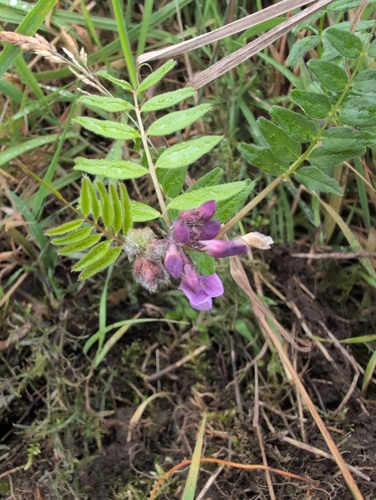
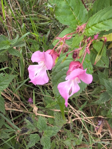
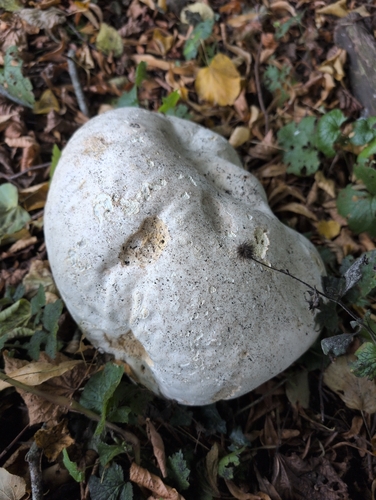
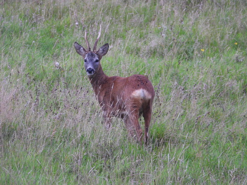
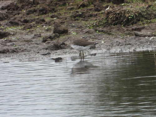
Research-grade observations from iNaturalist (within ~15 mi).
Events
Gallery
Official Identifiers
ONS — UK Office for National Statistics
- ONS code
- osgb4000000074554968
- Local type
- Town
- Region
- Scotland
api.postcodes.io / OS Open Names
Sources
- • Wikipedia
- • iNaturalist
- • Wikidata SPARQL (CC0) — population, area, elevation, inception, head of government, Commons image
- • ONS / OS Open Names — UK official place gazetteer, via api.postcodes.io (OS code, local type, county/unitary, district/borough, region)
- • ONS — UK Office for National Statistics — api.postcodes.io / OS Open Names