Browse / United States / Utah / Cedar City
Cedar City
Utahcity

Cedar City
Total population
38,524
Median home value
$377,000
Bachelor's+
Median income
$63,589
Founded
1851
Demographic figures from US Census Bureau · ACS 5-year estimates. Overview below cites Wikipedia and may reference a different year.
City facts
Facts from Wikidata (CC0).
Overview
Cedar City is the largest city in Iron County, Utah, United States. Located 250 miles (400 km) south of Salt Lake City, it is 170 miles (270 km) north of Las Vegas on Interstate 15. Southern Utah University is located in Cedar City. It is the home of the Utah Shakespeare Festival, the Utah Summer Games, and other events. As of the 2020 census the city had a population of 35,235, up from 28,857 in the 2010 census.
Read more on WikipediaHistory & geography
History
The presence of prehistoric people in the Cedar City area is revealed by rock art found in Parowan Gap to the north and Fremont sites dated to A.D. 1000 and 1300. Ancestors of the present-day Southern Paiute people met the Domínguez–Escalante expedition in this area in 1776. Fifty years later, in 1826, mountain man and fur trader Jedediah Smith traveled through the area, exploring a route from Utah to California. Cedar City was originally settled in late 1851 by Mormon pioneers originating from Parowan, Utah, who were sent to build an iron works. The site, known as "Fort Cedar" or "Cedar City," was equidistant from vast iron deposits west and coal resources east up Cedar Canyon, but was named after the abundant local trees (which are not cedars but junipers). Two companies of men led by Henry Lunt reached the fort site in a blizzard on November 11, 1851, making that date the official founding. In 1855, a new site, closer to the iron works and out of the flood plain of Coal Creek, was established at the suggestion of Brigham Young. A furnace operated from September 1852 for three years, producing about 25 tons of pig iron, using iron ore deposits located in the Iron Mountain District. Cedar City was incorporated on February 18, 1868. The ironworks closed in 1858, though mining continued in the area until the 1980s. The completion of a railroad connection to Cedar City in 1923 established the area as a tourism gateway to nearby Bryce Canyon National Park, Zion National Park, Grand Canyon National Park, and Cedar Breaks National Monument. Cedar City continues to be a center of tourism, commercial development, education, and the arts in southwestern Utah. The city has shared in the rapid growth of much of southwestern Utah since the late 1980s. On December 10,…
Geography
Cedar City is located in the southeast Great Basin and is approximately north of the northeastern edge of the Mojave Desert. Its elevation of gives it a somewhat cooler climate compared to the nearby St. George region, though it retains cultural ties to the city. For example, the two share a daily newspaper. According to the United States Census Bureau, the city has a total area of , all land. In some of the older neighborhoods in the city, an irrigation system is utilized by many residents for their lawns and gardens, as "water is diverted from a natural stream (Coal Creek) into a series of canals and ditches for residential flood irrigation." The city is located on the western edge of the Markagunt Plateau, in a high desert valley, Cedar Valley, with no ocean drainage. The climate is the typical semi-arid climate (BSk) of the Mountain West, though snowfall can be quite heavy, reaching a historical maximum of in January 1949.
Excerpted from the corresponding Wikipedia article (CC BY-SA).
Demographics & economy
Race & ethnicity
Source: US Census Bureau — American Community Survey, 5-year estimates.
Geography
Coordinates & boundaries from the US Census TIGER/Line shapefiles.
Climate
Current forecast
Forecast for Cedar City, UT from NOAA NWS API.
Air quality
Industrial & pollution facilities
Natural hazard risk
Health (adults)
Walkability
Amenities nearby
Wildlife & biodiversity
Most-observed species
- Common RavenCorvus corax Linnaeus, 1758 · Aves2,178
- House SparrowPasser domesticus (Linnaeus, 1758) · Aves1,558
- House FinchHaemorhous mexicanus (P.L.Statius Müller, 1776) · Aves1,400
- Eurasian Collared-DoveStreptopelia decaocto (Frivaldszky, 1838) · Aves1,359
- American RobinTurdus migratorius Linnaeus, 1766 · Aves1,279
- American CootFulica americana Gmelin, 1789 · Aves817
- European StarlingSturnus vulgaris Linnaeus, 1758 · Aves791
- MallardAnas platyrhynchos Linnaeus, 1758 · Aves769
Citizen-science & research observations from the Global Biodiversity Information Facility (GBIF).
Schools
Earthquake history
Most recent
- M 2.63 — 2026-09-1516 km NE of Milford, Utah
- M 3.13 — 2026-09-1216 km NE of Milford, Utah
- M 2.52 — 2026-09-0317 km NE of Milford, Utah
- M 2.56 — 2026-08-1316 km NE of Milford, Utah
- M 2.78 — 2026-08-059 km N of New Harmony, Utah
- M 2.62 — 2026-07-2318 km NNW of Panguitch, Utah
Events from the USGS Earthquake Catalog (global) (FDSN Event Web Service).
Photos
Sights & places nearby
Notable people from here


People born within ~10 km, from Wikidata (CC0). Click any name for their Wikipedia article.
Nearby places in Utah
- Kanarraville11.1 mi away · pop. 257
- Parowan17.8 mi away · pop. 3,165
- Springdale35 mi away · pop. 421
- Hatch36.2 mi away · pop. 165
- Orderville38.2 mi away · pop. 803
- Santa Clara49 mi away · pop. 8,152
- Milford49.3 mi away · pop. 1,547
- Junction60.9 mi away · pop. 298
- Kanosh85.1 mi away · pop. 465
- Koosharem87.4 mi away · pop. 298
- Annabella90.3 mi away · pop. 701
- Glenwood95.8 mi away · pop. 673
Geography & sun
Elevation, sunrise/sunset and daylight from Open-Meteo. Solar climatology from NASA POWER.
Nearby airports
Public attention
Pageview totals from the Wikimedia Pageviews API.
Books about Cedar City

Search results from Open Library.
Recent natural events nearby
- Wildfire Widemouth 2, Millard, UtahWildfires · 2026-07-27 · 79 mi
- Wildfire Ward, White Pine, NevadaWildfires · 2026-07-31 · 138 mi
- Wildfire Black Canyon, Sanpete, UtahWildfires · 2026-07-30 · 152 mi
- Wildfire Tom Creek, Tooele, UtahWildfires · 2026-08-24 · 162 mi
- Wildfire Slough Canyon, Grand, UtahWildfires · 2026-08-15 · 207 mi
- Wildfire Campwood, Yavapai, ArizonaWildfires · 2026-08-23 · 211 mi
- Wildfire Rocky Canyon, Morgan, UtahWildfires · 2026-08-07 · 238 mi
Wildfires, storms and other events from NASA EONET (last 12 months, within 250 mi).
Ground air-quality sensors
Recently spotted species
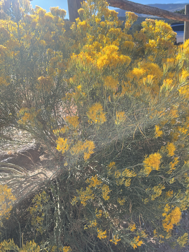
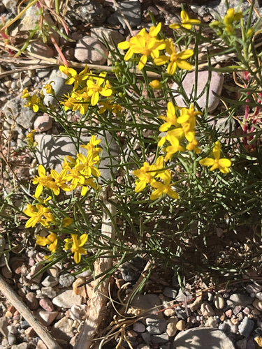
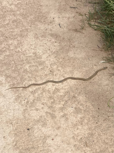
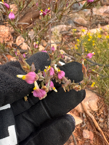
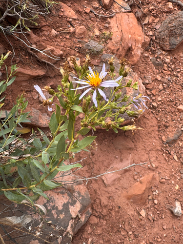
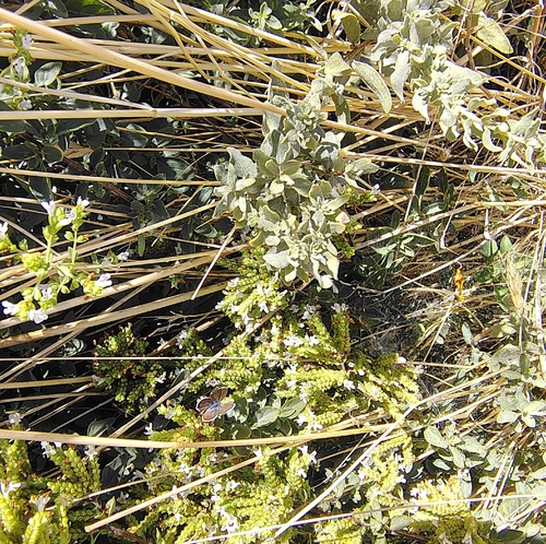
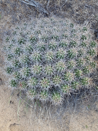
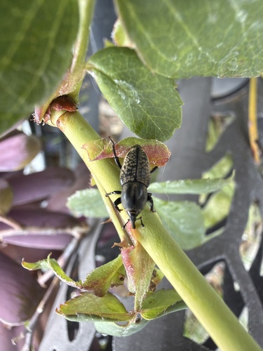
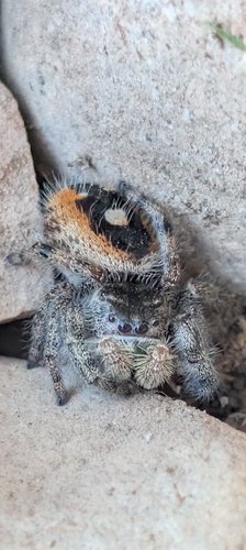
Research-grade observations from iNaturalist (within ~15 mi).
Nearest stream gauge
Events
Gallery
Sources
- • Wikipedia
- • US Census Bureau (ACS 5-year estimates)
- • NOAA National Weather Service
- • Wikidata
- • USGS Earthquake Catalog (global feed)
- • GBIF (Global Biodiversity Information Facility)
- • iNaturalist
- • Open-Meteo / sunrise-sunset.org
- • Wikipedia Pageviews API
- • Open Library
- • NASA EONET