Browse / United States / Utah / Manila
Manila
Utahtown

Manila
Total population
371
Median home value
$244,300
Bachelor's+
Median income
$78,000
Founded
1898
Demographic figures from US Census Bureau · ACS 5-year estimates. Overview below cites Wikipedia and may reference a different year.
City facts
Facts from Wikidata (CC0).
Overview
Manila is a small town located on the northern edge of Daggett County, Utah, United States, just south of the Wyoming border. The town is at the junction of State Route 43 and State Route 44, and is the county seat of Daggett County. Nearby sites include the Flaming Gorge National Recreation Area and the Flaming Gorge Reservoir just east of town, and to the south is Ashley National Forest, which includes Kings Peak (13,528 ft), the highest point in Utah.
Read more on WikipediaHistory & geography
Geography
File:Flaming Gorge (National Recreational Area) (7063604715).jpg|Flaming Gorge National Recreation Area south of Manila Manila is located in northeastern Utah, north of the Uinta Mountains and west of the Flaming Gorge Reservoir on the Green River. The northern border of the town is the Wyoming state line. Manila has five streets which run east to west. The southernmost, and main east-west street, is Utah State Route 43, with the remaining four streets numbered sequentially south to north (1st through 4th Street). The primary north-south street is Main Street, and subsequent north-south streets in Manila are also numbered, with 1st East Street through 5th East Street to the east and 1st and 2nd West Street to the west. State Route 43 runs northeast to the Wyoming border, whereupon Wyoming Highway 530 continues north to the city of Green River. In the other direction from Manila, Route 43 leads west then north to the Wyoming border, beyond which Wyoming Highway 414 leads to Fort Bridger. Utah State Route 44 (Main Street) leads south then east from Manila to U.S. Route 191 near Red Canyon. According to the United States Census Bureau, Manila has a total area of , all land. |source 2 = National Weather Service }}
Excerpted from the corresponding Wikipedia article (CC BY-SA).
Demographics & economy
Race & ethnicity
Source: US Census Bureau — American Community Survey, 5-year estimates.
Geography
Coordinates & boundaries from the US Census TIGER/Line shapefiles.
Climate
Current forecast
Forecast for Manila, UT from NOAA NWS API.
Air quality
Industrial & pollution facilities
Natural hazard risk
Health (adults)
Walkability
Amenities nearby
Wildlife & biodiversity
Most-observed species
- Black-billed MagpiePica hudsonia (Sabine, 1823) · Aves396
- American RobinTurdus migratorius Linnaeus, 1766 · Aves337
- Turkey VultureCathartes aura (Linnaeus, 1758) · Aves291
- Common RavenCorvus corax Linnaeus, 1758 · Aves283
- MallardAnas platyrhynchos Linnaeus, 1758 · Aves257
- Brewer's BlackbirdEuphagus cyanocephalus (Wagler, 1829) · Aves198
- Northern FlickerColaptes auratus (Linnaeus, 1758) · Aves190
- Steller's JayCyanocitta stelleri (Gmelin, 1788) · Aves185
Citizen-science & research observations from the Global Biodiversity Information Facility (GBIF).
Schools
Earthquake history
Most recent
- M 2.84 — 2026-10-012 km NNW of Little America, Wyoming
- M 3.13 — 2026-09-253 km NW of Little America, Wyoming
- M 3.39 — 2026-09-153 km NNW of Little America, Wyoming
- M 3.79 — 2026-09-1222 km NE of Granger, Wyoming
- M 3 — 2026-09-032 km NNW of Little America, Wyoming
- M 2.98 — 2026-08-283 km NW of Little America, Wyoming
Events from the USGS Earthquake Catalog (global) (FDSN Event Web Service).
Photos
Sights & places nearby
Notable people from here
Nearby places in Utah
- Flaming Gorge14.6 mi away
- Dutch John17.2 mi away
- Naples40.5 mi away
- Fort Duchesne49.8 mi away · pop. 271
- Woodruff83.4 mi away · pop. 371
- Marion84.1 mi away · pop. 830
- Woodland84.1 mi away · pop. 625
- Kamas84.5 mi away · pop. 2,096
- Hoytsville87.2 mi away · pop. 800
- Coalville88.9 mi away · pop. 1,881
- Independence91.7 mi away · pop. 79
- Laketown101.6 mi away · pop. 437
Geography & sun
Elevation, sunrise/sunset and daylight from Open-Meteo. Solar climatology from NASA POWER.
Nearby airports
Public attention
Pageview totals from the Wikimedia Pageviews API.
Books about Manila

Search results from Open Library.
Recent natural events nearby
- Wildfire Rocky Canyon, Morgan, UtahWildfires · 2026-08-07 · 100 mi
- Wildfire Slough Canyon, Grand, UtahWildfires · 2026-08-15 · 113 mi
- Wildfire WEISER KNOLL, Fremont, WyomingWildfires · 2026-08-09 · 127 mi
- Wildfire Bare, Sublette, WyomingWildfires · 2026-08-04 · 128 mi
- Prescribed Fire Bear River MBR Unit 2c RX, Box Elder, UtahWildfires · 2026-09-18 · 139 mi
- Wildfire Black Canyon, Sanpete, UtahWildfires · 2026-07-30 · 139 mi
- Wildfire 310, Garfield, ColoradoWildfires · 2026-08-06 · 141 mi
- Wildfire Brushy Canyon, Box Elder, UtahWildfires · 2026-08-27 · 145 mi
Wildfires, storms and other events from NASA EONET (last 12 months, within 250 mi).
Ground air-quality sensors
Recently spotted species
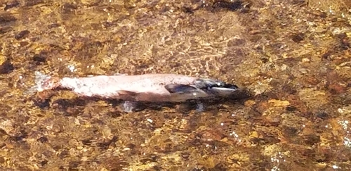
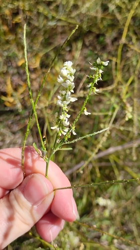
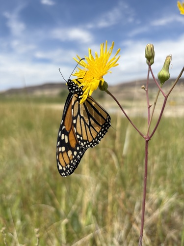
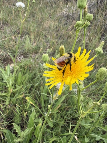
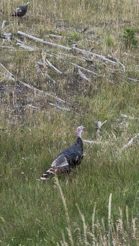
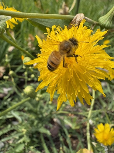
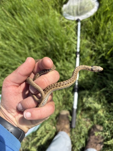
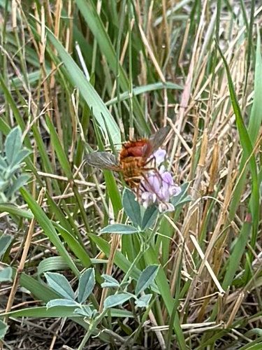
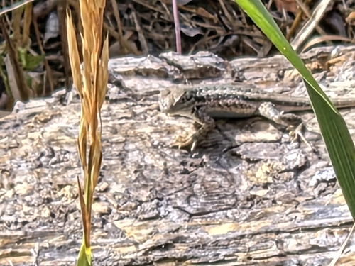
Research-grade observations from iNaturalist (within ~15 mi).
Nearest stream gauge
Events
Gallery
Sources
- • Wikipedia
- • US Census Bureau (ACS 5-year estimates)
- • NOAA National Weather Service
- • Wikidata
- • USGS Earthquake Catalog (global feed)
- • GBIF (Global Biodiversity Information Facility)
- • iNaturalist
- • Open-Meteo / sunrise-sunset.org
- • Wikipedia Pageviews API
- • Open Library
- • NASA EONET