Browse / United States / Utah / Midvale
Midvale
Utahcity

Midvale
Total population
35,989
Median home value
$436,600
Bachelor's+
Median income
$75,084
Demographic figures from US Census Bureau · ACS 5-year estimates. Overview below cites Wikipedia and may reference a different year.
City facts
Overview
Midvale is a city in Salt Lake County, Utah, United States. It is part of the Salt Lake City metropolitan area. Midvale's population was 36,028 according to the 2020 United States Census.
Read more on WikipediaHistory & geography
History
Located in the central part of the Salt Lake Valley, and next to the Jordan River, Midvale was an early target for settlers in Utah. Permanent homes began as early as the 1850s, with one of the earliest homes still preserved today. The population grew quickly in the 1870s thanks to its central location, the use of railroad, and its connection to the mining in Bingham Canyon, the western area of present-day Midvale became an important industrial area for Utah. To support this growth, the eastern area of present-day Midvale provided agriculture and housing. The name "Midvale" was presumably adopted due to the area’s central location within the Salt Lake Valley. In 1909 Midvale officially became a city and in the 1910 census had a population of 1,760. Fort Union, historically Union, was an early settlement area on the eastern edge of present-day Midvale. When Midvale annexed the Fort Union Area, it brought an established housing population. However, it did not just provide the city with a much larger population base, it also brought the city the shops of Fort Union. The shops provide both shopping and office space for Midvale. Bingham Junction, originally known as the Sharon Steel site, is on the western border of Midvale and is roughly 446 acres in size. The area originally started seeing economic development as early as 1871 as a slag site for mining, which operated as such until 1958. Upon testing, it appeared to have large amounts of lead, arsenic and heavy metals, rendering the property unusable. Through mediation, help from the EPA and other parties, the area underwent a major cleanup and restoration project that saw its name removed from the NPL in 2006. Since Bingham Junction's removal from the NPL, the area underwent major changes. It brought about thousands…
Geography
According to the United States Census Bureau, the city has a total area of 5.8 square miles (15.1 km), all land. The western border of Midvale is the Jordan River, which flows down the center of the Salt Lake Valley. This climatic region is typified by large seasonal temperature differences, with warm to hot summers and cold winters. According to the Köppen Climate Classification system, Midvale has a humid continental climate, abbreviated Dfb on climate maps.
Excerpted from the corresponding Wikipedia article (CC BY-SA).
Demographics & economy
Race & ethnicity
Source: US Census Bureau — American Community Survey, 5-year estimates.
Geography
Coordinates & boundaries from the US Census TIGER/Line shapefiles.
Climate
Current forecast
Forecast for Midvale, UT from NOAA NWS API.
Air quality
Industrial & pollution facilities
Natural hazard risk
Health (adults)
Age-adjusted prevalence estimates from CDC PLACES (latest release).
Walkability
Amenities nearby
Wildlife & biodiversity
Most-observed species
- House FinchHaemorhous mexicanus (P.L.Statius Müller, 1776) · Aves32,857
- American RobinTurdus migratorius Linnaeus, 1766 · Aves26,245
- Black-capped ChickadeePoecile atricapillus (Linnaeus, 1766) · Aves25,363
- MallardAnas platyrhynchos Linnaeus, 1758 · Aves22,909
- Song SparrowMelospiza melodia (A.Wilson, 1810) · Aves22,147
- Mourning DoveZenaida macroura (Linnaeus, 1758) · Aves21,261
- Lesser GoldfinchSpinus psaltria (Say, 1822) · Aves21,007
- House SparrowPasser domesticus (Linnaeus, 1758) · Aves20,717
Citizen-science & research observations from the Global Biodiversity Information Facility (GBIF).
Schools
Largest nearby schools
- Granger HighHigh · WEST VALLEY CITY · 3,481 students · 26:1 ratio
- Copper Hills HighHigh · WEST JORDAN · 2,841 students · 25.6:1 ratio
- Taylorsville HighHigh · TAYLORSVILLE · 2,770 students · 26.1:1 ratio
- Hunter HighHigh · WEST VALLEY CITY · 2,595 students · 25.2:1 ratio
- Mountain Ridge HighHigh · HERRIMAN · 2,507 students · 24.3:1 ratio
- Bingham HighHigh · SOUTH JORDAN · 2,482 students · 24.6:1 ratio
- Corner Canyon HighHigh · DRAPER · 2,434 students · 26.2:1 ratio
- Kearns HighHigh · KEARNS · 2,382 students · 25.9:1 ratio
Public K–12 schools within ~10 mi from Urban Institute Education Data Portal (NCES Common Core of Data, 2022).
Earthquake history
Most recent
- M 2.86 — 2026-08-076 km NNW of Saratoga Springs, Utah
- M 3.52 — 2026-02-144 km NNW of West Valley City, Utah
- M 3.5 — 2026-02-056 km WNW of Lehi, Utah
- M 2.71 — 2026-02-0541 km ENE of Oakley, Utah
- M 2.97 — 2026-01-2241 km SSE of Evanston, Wyoming
- M 4.65 — 2026-01-2240 km S of Evanston, Wyoming
Events from the USGS Earthquake Catalog (global) (FDSN Event Web Service).
Photos
Sights & places nearby
Notable people from here


People born within ~10 km, from Wikidata (CC0). Click any name for their Wikipedia article.
Nearby places in Utah
Geography & sun
Elevation, sunrise/sunset and daylight from Open-Meteo. Solar climatology from NASA POWER.
Nearby airports
Public attention
Pageview totals from the Wikimedia Pageviews API.
Books about Midvale


Search results from Open Library.
Recent natural events nearby
- Wildfire Rocky Canyon, Morgan, UtahWildfires · 2026-08-07 · 26 mi
- Wildfire Brushy Canyon, Box Elder, UtahWildfires · 2026-08-27 · 56 mi
- Wildfire Tom Creek, Tooele, UtahWildfires · 2026-08-24 · 60 mi
- Wildfire Johnson Canyon, Box Elder, UtahWildfires · 2026-08-01 · 90 mi
- Wildfire Black Canyon, Sanpete, UtahWildfires · 2026-07-30 · 91 mi
- Wildfire Salt Wells, Box Elder, UtahWildfires · 2026-08-21 · 92 mi
- Wildfire Widemouth 2, Millard, UtahWildfires · 2026-07-27 · 134 mi
- Wildfire Slough Canyon, Grand, UtahWildfires · 2026-08-15 · 135 mi
Wildfires, storms and other events from NASA EONET (last 12 months, within 250 mi).
Ground air-quality sensors
Recently spotted species
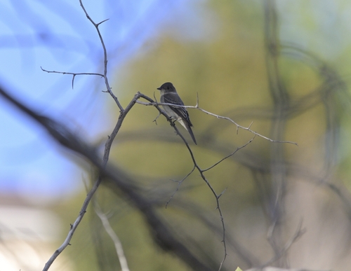
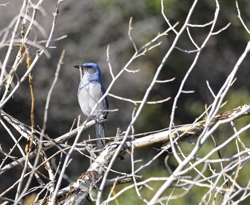
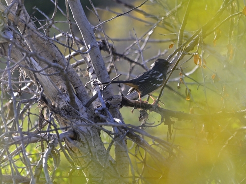
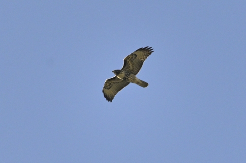
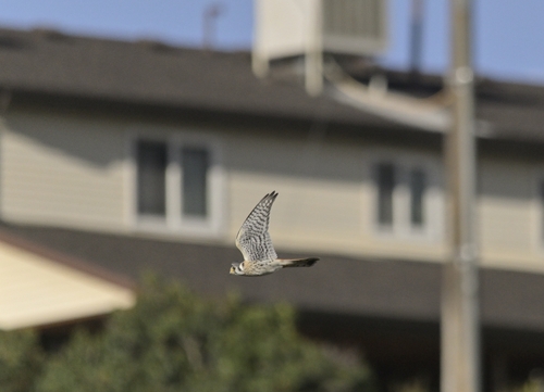
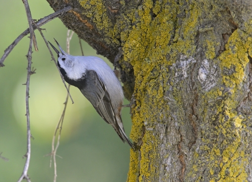
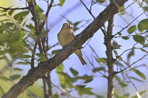
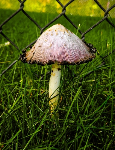
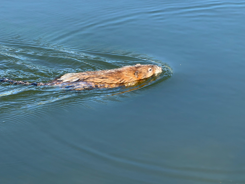
Research-grade observations from iNaturalist (within ~15 mi).
Nearest stream gauge
Events
Gallery
Sources
- • Wikipedia
- • US Census Bureau (ACS 5-year estimates)
- • NOAA National Weather Service
- • Wikidata
- • USGS Earthquake Catalog (global feed)
- • NCES via Urban Institute Education Data Portal
- • GBIF (Global Biodiversity Information Facility)
- • iNaturalist
- • CDC PLACES
- • Open-Meteo / sunrise-sunset.org
- • Wikipedia Pageviews API
- • Open Library
- • NASA EONET