Browse / United States / Utah / Murray
Murray
Utahcity

Murray
Total population
50,188
Median home value
$507,500
Bachelor's+
Median income
$90,746
Founded
1848
Demographic figures from US Census Bureau · ACS 5-year estimates. Overview below cites Wikipedia and may reference a different year.
City facts
Sister cities
Facts from Wikidata (CC0).
Overview
Murray is a city situated on the Wasatch Front in the core of Salt Lake Valley in the U.S. state of Utah. Named for territorial governor Eli Murray, the city had a population of 50,637 as of the 2020 United States Census. Murray shares borders with Taylorsville, Holladay, South Salt Lake, Millcreek and West Jordan, Utah. Once teeming with heavy industry, Murray's industry mix has now shifted significantly toward healthcare, retail, and professional, scientific, and technical services. Known for its central location in Salt Lake County, Murray has been called the Hub of Salt Lake County.
Read more on WikipediaHistory & geography
History
Before being permanently settled by Mormon pioneers in 1848, the area where Murray is located was a natural area that served as the seasonal home of Paiute, Shoshone, and Bannock Native American tribes. The tribes camped along local creek banks and stream beds during their migrations. Artifacts of Native American encampments have been located along the Jordan River, including camps near Willow Pond Park. At what was known as the "big bend" of the Jordan River (near 4984 South 700 West Street), the Goshute Indians from Skull Valley made their camp. This was made every spring on the way to their hunting ground at the headwaters of the Bear River. On their return in the fall, they also stayed for a week and traded with white settlers. Early settlers recorded that they generally traded buffalo robes, deer skins, dried meat and tallow. There was a strip of high bench land, completely surrounded by low land north of what is now Vine Street and 5600 South Street. Before and after the advent of the pioneers, this land was used by the Ute Indians as a camping ground. This is because water and grass could be obtained on either side of it and enemies could not approach without being seen long before coming to the high ground. In 1858, during the so-called Utah War, Albert Sidney Johnston's army of the Utah Expedition passed through western Murray after camping on the "flats" above the North Jordan farms. Its large livestock herd reportedly ate everything to within an inch of the ground. General Johnston, who was crossing James Winchester's property (now Murray Parkway Golf Course), advised Winchester to pursue a homestead patent. In 1870 James Winchester entered the first homestead of the entire Intermountain West. The Pony Express traveled through central Murray, along what…
Geography
According to the United States Census Bureau, the city has a total area of , all land. Murray is located in the heart of the Salt Lake Valley. The city is nearly built out with a broad mix of commercial, residential and industrial uses. The topography is generally gentle, sloping westward from the nearby Wasatch Mountain Range toward the Jordan River, which is the terminal river feature in the Salt Lake Valley. | date = August 2010 }}
Excerpted from the corresponding Wikipedia article (CC BY-SA).
Demographics & economy
Race & ethnicity
Source: US Census Bureau — American Community Survey, 5-year estimates.
Geography
Coordinates & boundaries from the US Census TIGER/Line shapefiles.
Climate
Current forecast
Forecast for Murray, UT from NOAA NWS API.
Air quality
Industrial & pollution facilities
Natural hazard risk
Health (adults)
Age-adjusted prevalence estimates from CDC PLACES (latest release).
Walkability
Amenities nearby
Wildlife & biodiversity
Most-observed species
- House FinchHaemorhous mexicanus (P.L.Statius Müller, 1776) · Aves37,128
- American RobinTurdus migratorius Linnaeus, 1766 · Aves29,365
- Black-capped ChickadeePoecile atricapillus (Linnaeus, 1766) · Aves27,813
- MallardAnas platyrhynchos Linnaeus, 1758 · Aves24,848
- Song SparrowMelospiza melodia (A.Wilson, 1810) · Aves23,877
- House SparrowPasser domesticus (Linnaeus, 1758) · Aves23,387
- Lesser GoldfinchSpinus psaltria (Say, 1822) · Aves23,021
- Mourning DoveZenaida macroura (Linnaeus, 1758) · Aves22,768
Citizen-science & research observations from the Global Biodiversity Information Facility (GBIF).
Schools
Largest nearby schools
- Granger HighHigh · WEST VALLEY CITY · 3,481 students · 26:1 ratio
- Copper Hills HighHigh · WEST JORDAN · 2,841 students · 25.6:1 ratio
- Taylorsville HighHigh · TAYLORSVILLE · 2,770 students · 26.1:1 ratio
- West HighHigh · SALT LAKE CITY · 2,600 students · 22.2:1 ratio
- Hunter HighHigh · WEST VALLEY CITY · 2,595 students · 25.2:1 ratio
- Bingham HighHigh · SOUTH JORDAN · 2,482 students · 24.6:1 ratio
- Corner Canyon HighHigh · DRAPER · 2,434 students · 26.2:1 ratio
- Kearns HighHigh · KEARNS · 2,382 students · 25.9:1 ratio
Public K–12 schools within ~10 mi from Urban Institute Education Data Portal (NCES Common Core of Data, 2022).
Earthquake history
Most recent
- M 2.86 — 2026-08-076 km NNW of Saratoga Springs, Utah
- M 3.52 — 2026-02-144 km NNW of West Valley City, Utah
- M 3.5 — 2026-02-056 km WNW of Lehi, Utah
- M 2.71 — 2026-02-0541 km ENE of Oakley, Utah
- M 2.97 — 2026-01-2241 km SSE of Evanston, Wyoming
- M 4.65 — 2026-01-2240 km S of Evanston, Wyoming
Events from the USGS Earthquake Catalog (global) (FDSN Event Web Service).
Photos
Sights & places nearby
Notable people from here


People born within ~10 km, from Wikidata (CC0). Click any name for their Wikipedia article.
Nearby places in Utah
- Woods Cross15.5 mi away
- Centerville19 mi away · pop. 16,679
- Saratoga Springs21.2 mi away · pop. 48,425
- Lindon23.1 mi away · pop. 11,765
- Stockton29.3 mi away · pop. 901
- Coalville30.1 mi away · pop. 1,881
- Hoytsville30.5 mi away · pop. 800
- Grantsville30.7 mi away · pop. 14,341
- Clearfield31.6 mi away · pop. 33,523
- Marion32 mi away · pop. 830
- Kamas32.1 mi away · pop. 2,096
- Enterprise32.6 mi away · pop. 560
Geography & sun
Elevation, sunrise/sunset and daylight from Open-Meteo. Solar climatology from NASA POWER.
Nearby airports
Public attention
Pageview totals from the Wikimedia Pageviews API.
Books about Murray


Search results from Open Library.
Recent natural events nearby
- Wildfire Rocky Canyon, Morgan, UtahWildfires · 2026-08-07 · 24 mi
- Wildfire Brushy Canyon, Box Elder, UtahWildfires · 2026-08-27 · 54 mi
- Wildfire Tom Creek, Tooele, UtahWildfires · 2026-08-24 · 62 mi
- Wildfire Johnson Canyon, Box Elder, UtahWildfires · 2026-08-01 · 87 mi
- Wildfire Salt Wells, Box Elder, UtahWildfires · 2026-08-21 · 90 mi
- Wildfire Black Canyon, Sanpete, UtahWildfires · 2026-07-30 · 93 mi
- Wildfire Slough Canyon, Grand, UtahWildfires · 2026-08-15 · 136 mi
- Wildfire Widemouth 2, Millard, UtahWildfires · 2026-07-27 · 137 mi
Wildfires, storms and other events from NASA EONET (last 12 months, within 250 mi).
Ground air-quality sensors
Recently spotted species
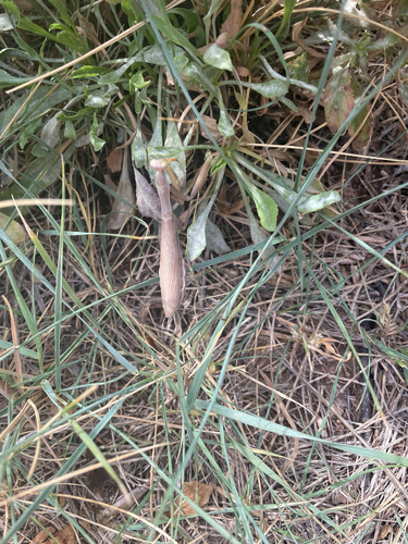
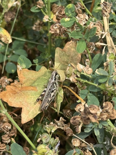
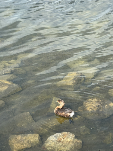
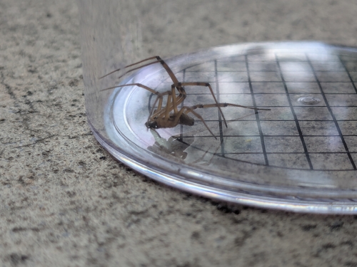
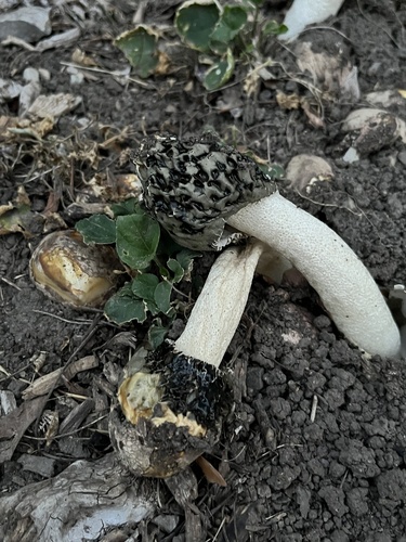
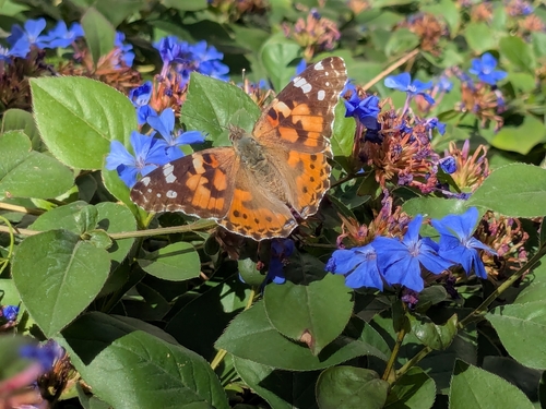
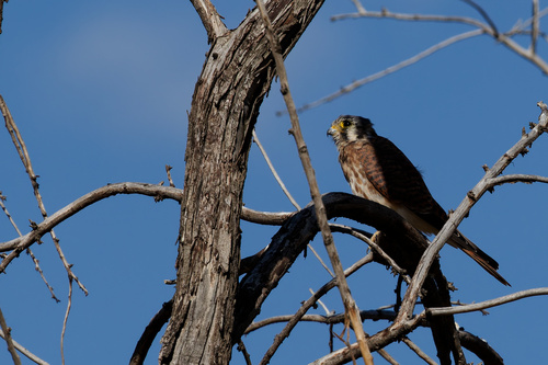
Research-grade observations from iNaturalist (within ~15 mi).
Nearest stream gauge
Events
Gallery
Sources
- • Wikipedia
- • US Census Bureau (ACS 5-year estimates)
- • NOAA National Weather Service
- • Wikidata
- • USGS Earthquake Catalog (global feed)
- • NCES via Urban Institute Education Data Portal
- • GBIF (Global Biodiversity Information Facility)
- • iNaturalist
- • CDC PLACES
- • Open-Meteo / sunrise-sunset.org
- • Wikipedia Pageviews API
- • Open Library
- • NASA EONET