Browse / United States / Utah / Panguitch
Panguitch
Utahcity

Panguitch
Total population
1,701
Median home value
$331,700
Bachelor's+
Median income
$76,750
Founded
1864
Demographic figures from US Census Bureau · ACS 5-year estimates. Overview below cites Wikipedia and may reference a different year.
City facts
Facts from Wikidata (CC0).
Overview
Panguitch is a city in and the county seat of Garfield County, Utah, United States. The population was 1,725 at the 2020 census. The name Panguitch comes from a Southern Paiute word meaning “Big Fish,” likely named after the plentiful nearby lakes hosting rainbow trout year-round.
Read more on WikipediaHistory & geography
History
Panguitch was first settled in March 1864, when Jens Nielsen, a Danish convert to the Church of Jesus Christ of Latter-day Saints, led a group of 54 families eastward from Parowan and Beaver to the Sevier River. At a crisis point, seven men left the community to seek flour and foodstuffs from surrounding communities. Heavy snow forced the abandonment of wagons and teams, and the men had no option but to continue on foot, reportedly by laying one quilt after another upon the snow to keep from sinking in too deeply. Parowan settlers eventually gave the rescuers grain that they could take back to the hungry families in Panguitch. However, the rescuers still had to transport the grain on foot over the mountain back to the teams they had temporarily deserted, then on to Panguitch, where they were greeted with a joyous welcome. In local lore, some refer to the rescuer's trek as "the quilt walk." Due to the Black Hawk War to the north, church officials decided the settlers should abandon the area, and they did so in May 1865. The Panguitch Indian School operated from 1904 to 1909, primarily housing Utah Paiutes and Kaibab Paiutes. Students as young as six were taken from their tribe and forced to live at the school overseen by the federal government. Some children were taken at gunpoint from St. George and Moccasin, Arizona. Timber and livestock production were successful industries in Panguitch until the economic shifts following World War I. Since the establishment of Bryce Canyon National Park and the designation of nearby areas as national forests, tourism has played a major role in the local economy. The National Register of Historic Places designated the entire town the Panguitch Historic District in 2007.
Geography
Panguitch is located on the western edge of Garfield County at (37.822234, -112.434650), in the valley of the Sevier River. U.S. Route 89 passes through the center of town, leading north to Junction and south to Orderville. Utah State Route 143 leads southwest from Panguitch to Panguitch Lake in Dixie National Forest. According to the United States Census Bureau, the city has a total area of , all land. Panguitch has a cool semi-arid climate (Köppen BSk) with summers featuring hot afternoons and cold mornings, and cold, dry winters. The high altitude and relatively high latitude means that mornings are cold throughout the year and freezing for most of it: between 1971 and 2000 an average of 227.7 mornings fell below freezing and 16.5 mornings fell to or below . Maxima, however, can be expected to top freezing on all but fourteen afternoons during an average year, and the winters are so dry that snowfall is light, averaging only with median cover never much above . The most snowfall in a month has been in the famously cold January 1949, and the most in a season from July 1951 to June 1952. Mild, dry winters like 1976/1977 and 1980/1981 can in contrast see negligible snowfall for an entire season. In a manner more akin to Arizona than northern Utah, most of the limited precipitation occurs during the July to October monsoon season, but Garfield County is usually too far north to receive the monsoon's full benefit. The wettest month on record has been August 1987 with , and the wettest day was August 18, 1984, with . Panguitch's wettest was 1967, with of rainfall. However, only of rain fell in 1989.
Excerpted from the corresponding Wikipedia article (CC BY-SA).
Demographics & economy
Race & ethnicity
Source: US Census Bureau — American Community Survey, 5-year estimates.
Geography
Coordinates & boundaries from the US Census TIGER/Line shapefiles.
Climate
Current forecast
Forecast for Panguitch, UT from NOAA NWS API.
Air quality
Industrial & pollution facilities
Natural hazard risk
Health (adults)
Age-adjusted prevalence estimates from CDC PLACES (latest release).
Walkability
Amenities nearby
Wildlife & biodiversity
Most-observed species
- Common RavenCorvus corax Linnaeus, 1758 · Aves332
- American RobinTurdus migratorius Linnaeus, 1766 · Aves246
- Black-billed MagpiePica hudsonia (Sabine, 1823) · Aves242
- Mountain BluebirdSialia currucoides (Bechstein, 1798) · Aves180
- Red-tailed HawkButeo jamaicensis (Gmelin, 1788) · Aves173
- Turkey VultureCathartes aura (Linnaeus, 1758) · Aves167
- Canada Goose (canadensis Group)Branta canadensis (Linnaeus, 1758) · Aves148
- Northern FlickerColaptes auratus (Linnaeus, 1758) · Aves147
Citizen-science & research observations from the Global Biodiversity Information Facility (GBIF).
Schools
Earthquake history
Most recent
- M 2.63 — 2026-09-2110 km NE of Marysvale, Utah
- M 2.63 — 2026-09-1516 km NE of Milford, Utah
- M 3.13 — 2026-09-1216 km NE of Milford, Utah
- M 2.52 — 2026-09-0317 km NE of Milford, Utah
- M 2.56 — 2026-08-1316 km NE of Milford, Utah
- M 2.78 — 2026-08-059 km N of New Harmony, Utah
Events from the USGS Earthquake Catalog (global) (FDSN Event Web Service).
Photos
Sights & places nearby
Notable people from here


People born within ~10 km, from Wikidata (CC0). Click any name for their Wikipedia article.
Nearby places in Utah
- Hatch12 mi away · pop. 165
- Parowan21.6 mi away · pop. 3,165
- Junction30.8 mi away · pop. 298
- Orderville41.2 mi away · pop. 803
- Kanarraville45.3 mi away · pop. 257
- Milford50.5 mi away · pop. 1,547
- Springdale54.2 mi away · pop. 421
- Koosharem56.4 mi away · pop. 298
- Annabella64.3 mi away · pop. 701
- Kanosh67.6 mi away · pop. 465
- Glenwood69.3 mi away · pop. 673
- Santa Clara82.3 mi away · pop. 8,152
Geography & sun
Elevation, sunrise/sunset and daylight from Open-Meteo. Solar climatology from NASA POWER.
Nearby airports
Public attention
Pageview totals from the Wikimedia Pageviews API.
Books about Panguitch


Search results from Open Library.
Recent natural events nearby
- Wildfire Black Canyon, Sanpete, UtahWildfires · 2026-07-30 · 124 mi
- Wildfire Tom Creek, Tooele, UtahWildfires · 2026-08-24 · 151 mi
- Wildfire Ward, White Pine, NevadaWildfires · 2026-07-31 · 160 mi
- Wildfire Slough Canyon, Grand, UtahWildfires · 2026-08-15 · 173 mi
- Prescribed Fire Walker Hill Piles RX, Coconino, ArizonaWildfires · 2026-09-28 · 179 mi
- Wildfire Rocky Canyon, Morgan, UtahWildfires · 2026-08-07 · 219 mi
- Wildfire Campwood, Yavapai, ArizonaWildfires · 2026-08-23 · 224 mi
- Wildfire Brushy Canyon, Box Elder, UtahWildfires · 2026-08-27 · 239 mi
Wildfires, storms and other events from NASA EONET (last 12 months, within 250 mi).
Ground air-quality sensors
Recently spotted species
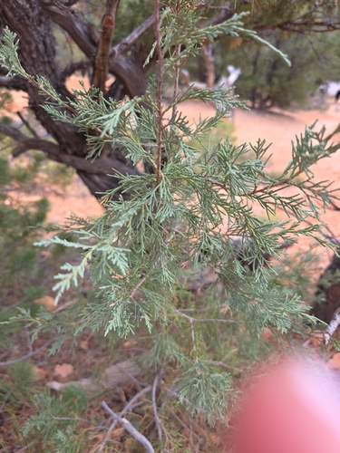
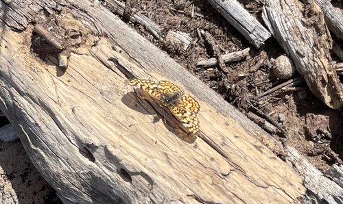
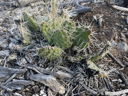
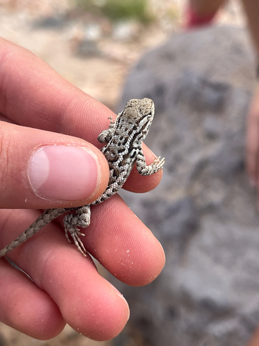
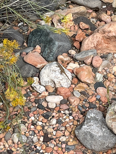
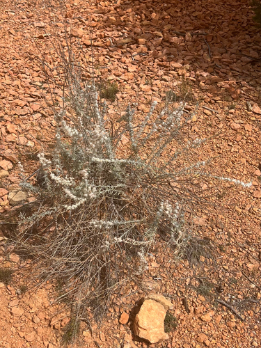
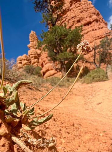
Research-grade observations from iNaturalist (within ~15 mi).
Nearest stream gauge
Events
Gallery
Sources
- • Wikipedia
- • US Census Bureau (ACS 5-year estimates)
- • NOAA National Weather Service
- • Wikidata
- • USGS Earthquake Catalog (global feed)
- • GBIF (Global Biodiversity Information Facility)
- • iNaturalist
- • CDC PLACES
- • Open-Meteo / sunrise-sunset.org
- • Wikipedia Pageviews API
- • Open Library
- • NASA EONET