Browse / United States / Utah / South Salt Lake
South Salt Lake
Utahcity

South Salt Lake
Total population
26,352
Median home value
$410,200
Bachelor's+
Median income
$72,152
Founded
1847
Demographic figures from US Census Bureau · ACS 5-year estimates. Overview below cites Wikipedia and may reference a different year.
City facts
Facts from Wikidata (CC0).
Overview
South Salt Lake is a city in Salt Lake County, Utah and a core inner suburb of Salt Lake City proper, and thus part of the Salt Lake City metropolitan area. The population was 26,777 at the 2020 census.
Read more on WikipediaHistory & geography
History
Jesse Fox Jr. developed the area South Salt Lake referred to as Central Park around 1890. Mr. Fox chose the name after visiting New York and seeing Central Park there. He was impressed by the park and its design within an urban environment. Despite South Salt Lake being rural at the time, he decided to name the area Central Park. In 1925 the LDS Central Park Ward was created and named after the development. In 1936, an attempted annexation by Salt Lake City failed due to concerns over funding and implementation of a sewer system. On August 14, 1936, a resolution creating the Town of Central Park was approved by the Board of County Commissioners - however, this did not last long, as voters then decided to disincorporate the town in 1937. In a close vote, voters then approved incorporation of South Salt Lake. On September 29, 1938, still in need of a sewer system, South Salt Lake voted to incorporate as the Town of South Salt Lake, with Robert R. Fitts as the first town president. The town was also lacking many other basic amenities at the time that would be easier to implement with incorporation, such as a post office and fire department. In 1939, the Works Progress Administration finally began construction of a sewer system, with a cost of $462,000. The original boundary of South Salt Lake was from 500 East to 300 West and 2100 South to Mill Creek on the south. On August 1, 1950, the population had increased enough for South Salt Lake to be designated as a third class city. This changed the form of government to a mayor and city council. The town president of the time, Marlow Callahan, became the first mayor of the City of South Salt Lake. In the 1990s, South Salt Lake annexed portions of an unincorporated portion of Salt Lake County to the south, and nearly…
Geography
According to the United States Census Bureau, the city has a total area of , all land. The city is bordered by the Jordan River on the west, 500 East and 700 East on the east, 2100 South on the north, and 3900 South on the south. West Valley City lies to the west, Salt Lake City to the north, northeast, and east; and Millcreek to the east, south, and southeast. Because of its location next to the Jordan River and well away from the mountains, it is mostly flat, only ranging in elevation from about to . It has a fairly high water table, with some areas being somewhat swampy before development in the early 1900s. Much city water comes through wells from the aquifer beneath the city. Three tributaries of Mill Creek converge in Fitts Park.
Excerpted from the corresponding Wikipedia article (CC BY-SA).
Demographics & economy
Race & ethnicity
Source: US Census Bureau — American Community Survey, 5-year estimates.
Geography
Coordinates & boundaries from the US Census TIGER/Line shapefiles.
Climate
Current forecast
Forecast for South Salt Lake, UT from NOAA NWS API.
Air quality
Industrial & pollution facilities
Natural hazard risk
Health (adults)
Walkability
Amenities nearby
Wildlife & biodiversity
Most-observed species
- House FinchHaemorhous mexicanus (P.L.Statius Müller, 1776) · Aves36,324
- Black-capped ChickadeePoecile atricapillus (Linnaeus, 1766) · Aves28,623
- American RobinTurdus migratorius Linnaeus, 1766 · Aves28,550
- Song SparrowMelospiza melodia (A.Wilson, 1810) · Aves24,057
- Lesser GoldfinchSpinus psaltria (Say, 1822) · Aves23,257
- MallardAnas platyrhynchos Linnaeus, 1758 · Aves22,084
- Mourning DoveZenaida macroura (Linnaeus, 1758) · Aves21,720
- House SparrowPasser domesticus (Linnaeus, 1758) · Aves21,091
Citizen-science & research observations from the Global Biodiversity Information Facility (GBIF).
Schools
Earthquake history
Most recent
- M 2.86 — 2026-08-076 km NNW of Saratoga Springs, Utah
- M 3.52 — 2026-02-144 km NNW of West Valley City, Utah
- M 3.5 — 2026-02-056 km WNW of Lehi, Utah
- M 2.71 — 2026-02-0541 km ENE of Oakley, Utah
- M 2.97 — 2026-01-2241 km SSE of Evanston, Wyoming
- M 4.65 — 2026-01-2240 km S of Evanston, Wyoming
Events from the USGS Earthquake Catalog (global) (FDSN Event Web Service).
Photos
Sights & places nearby
Notable people from here


People born within ~10 km, from Wikidata (CC0). Click any name for their Wikipedia article.
Nearby places in Utah
- Woods Cross11.6 mi away
- Centerville15.3 mi away · pop. 16,679
- Lindon26.9 mi away · pop. 11,765
- Clearfield27.7 mi away · pop. 33,523
- Coalville28.6 mi away · pop. 1,881
- Enterprise29.1 mi away · pop. 560
- Hoytsville29.3 mi away · pop. 800
- South Weber29.7 mi away · pop. 8,115
- Grantsville30.6 mi away · pop. 14,341
- Stockton30.8 mi away · pop. 901
- Clinton31.2 mi away · pop. 23,612
- Washington Terrace32.2 mi away
Geography & sun
Elevation, sunrise/sunset and daylight from Open-Meteo. Solar climatology from NASA POWER.
Nearby airports
Public attention
Pageview totals from the Wikimedia Pageviews API.
Books about South Salt Lake
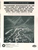
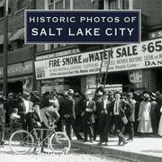
Search results from Open Library.
Recent natural events nearby
- Wildfire Rocky Canyon, Morgan, UtahWildfires · 2026-08-07 · 21 mi
- Wildfire Brushy Canyon, Box Elder, UtahWildfires · 2026-08-27 · 50 mi
- Prescribed Fire Bear River MBR Unit 2c RX, Box Elder, UtahWildfires · 2026-09-18 · 58 mi
- Wildfire Tom Creek, Tooele, UtahWildfires · 2026-08-24 · 64 mi
- Wildfire Johnson Canyon, Box Elder, UtahWildfires · 2026-08-01 · 83 mi
- Wildfire Salt Wells, Box Elder, UtahWildfires · 2026-08-21 · 86 mi
- Wildfire Black Canyon, Sanpete, UtahWildfires · 2026-07-30 · 97 mi
- Wildfire North Heglar, Cassia, IdahoWildfires · 2026-08-19 · 138 mi
Wildfires, storms and other events from NASA EONET (last 12 months, within 250 mi).
Ground air-quality sensors
Recently spotted species
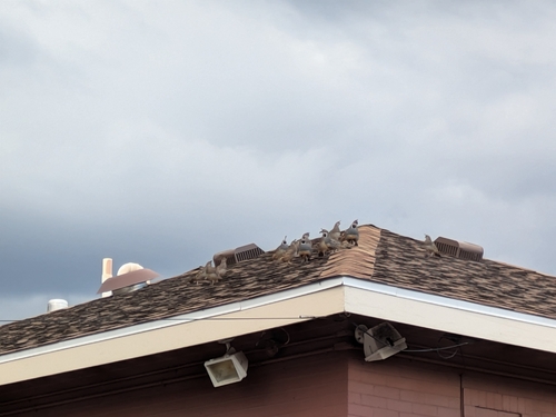
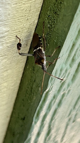
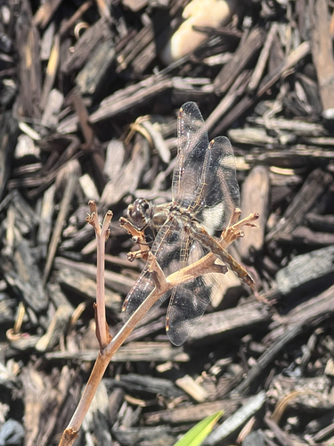
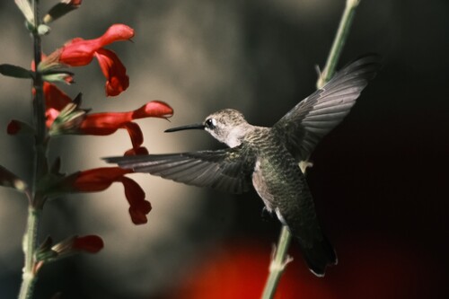
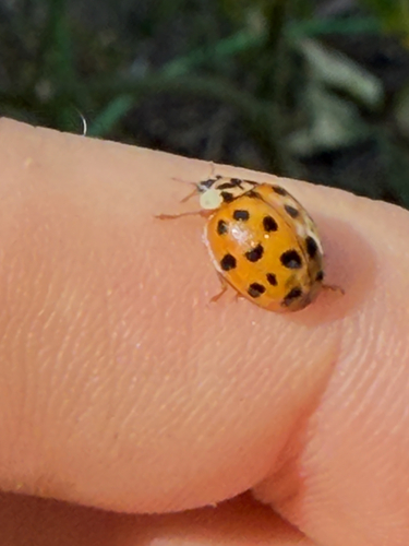
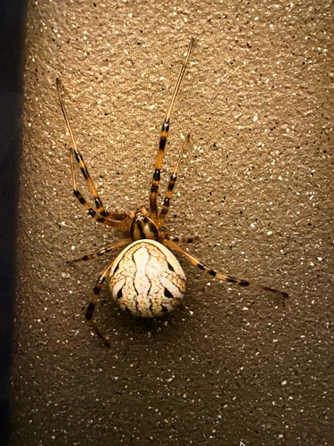
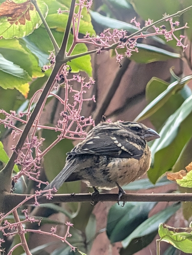
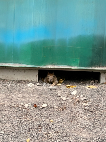
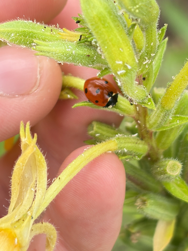
Research-grade observations from iNaturalist (within ~15 mi).
Nearest stream gauge
Events
Gallery
Sources
- • Wikipedia
- • US Census Bureau (ACS 5-year estimates)
- • NOAA National Weather Service
- • Wikidata
- • USGS Earthquake Catalog (global feed)
- • GBIF (Global Biodiversity Information Facility)
- • iNaturalist
- • Open-Meteo / sunrise-sunset.org
- • Wikipedia Pageviews API
- • Open Library
- • NASA EONET