Browse / United States / Utah / St. George
St. George
Utahcity

St. George
Total population
106,289
Median home value
$519,600
Bachelor's+
Median income
$83,984
Founded
1861
Demographic figures from US Census Bureau · ACS 5-year estimates. Overview below cites Wikipedia and may reference a different year.
City facts
Facts from Wikidata (CC0).
Overview
St. George or Saint George is a city in and the county seat of Washington County, Utah, United States. It is Utah's fifth-most populous city and the largest outside the Wasatch Front, with a population of 95,342 at the 2020 census. The St. George metropolitan statistical area has an estimated 208,000 residents. Located in southwestern Utah on the Arizona-Utah border, it lies in the northeasternmost part of the Mojave Desert, immediately south of the Pine Valley Mountains, which mark the southern boundary of the Great Basin. St. George lies slightly northwest of the Colorado Plateau, which ends at the Hurricane Fault.
Read more on WikipediaHistory & geography
History
St. George was founded as part of the cotton mission in 1861 under the direction of Latter Day Saint apostle Erastus Snow. At the outbreak of the American Civil War, Brigham Young accelerated the colonization effort: Fearing that the war would take away the cotton supply, he began plans for raising enough in this southwestern country to supply the needs of his people. Enough favorable reports had come to him from this warm region below the rim of the Great Basin, that he was convinced cotton could be raised successfully here. At the general church conference in Salt Lake City on October 6th, 1861, about 300 families were "called" to the Dixie mission to promote the cotton industry. Most of the people knew nothing of this expedition until their names were read from the pulpit; but in nearly every case, they responded with good will, and made ready to leave within the month's time allotted to them. The families were selected so as to ensure the communities the right number of farmers, masons, blacksmiths, businessmen, educators, carpenters, as needed. The settlement was named after George A. Smith, an LDS Church apostle. In April 1877, the LDS Church completed the St. George Utah Temple. It was the church's third temple and is the oldest still in active use. The 1992 St. George earthquake destroyed three houses, as well as above- and below-ground utilities, causing about in damage. St. George was the location of the 1997 United States Academic Decathlon national finals. In January 2005, a 100-year flood occurred throughout the region, due to prolonged heavy rainfall overflowing both the Virgin River and Santa Clara River. One person was killed and 28 homes were destroyed by the Santa Clara River. In the early 1950s, St. George received the brunt of the fallout of…
Geography
According to the United States Census Bureau, the city has an area of , of which (0.72% or about 2 ac) is covered by water. Some neighborhoods are large housing developments created during the city's rapid modern expansion; others carry the names of geographical features or unincorporated communities that have been annexed by St. George. * Atkinville (annexed) * Bloomington (annexed) * Bloomington Hills * Bloomington Ranches * Desert Color * Desert Hills / Hidden Valley * Dixie Downs * Downtown * Entrada * Foremaster * Green Valley * Price City (formerly Heberville, annexed) * The Ledges (golf neighborhood) * Little Valley * Middleton (annexed, includes Cottonwood) * Red Cliffs * Sand Town * Snow Canyon * Southgate * Stone Cliff * Sunbrook * Sunriver * Tonaquint (annexed) St. George's arid climate is significantly warmer on average than the rest of the state, and more closely resembles nearby Las Vegas. The climate is cold arid (BWk), though the average yearly temperature falls around 1 °F below the hot arid classification. St. George has long, hot summers and relatively mild winters. The monthly average temperature ranges from in December to in July. On average, 60 afternoons have high temperatures over , with an average window of June 29 through August 13, and 122 days with high temperatures over with the average window fluctuating between late April and early October. About 60 mornings have low temperature drops to the freezing mark, with the historical average window between November 12 and March 14. The highest temperature statewide was , which was recorded in south St. George, near the Arizona border on July 4, 2007, breaking the previous record holder, at , also set in St. George on July 5, 1985. }}
Excerpted from the corresponding Wikipedia article (CC BY-SA).
Demographics & economy
Race & ethnicity
Source: US Census Bureau — American Community Survey, 5-year estimates.
Geography
Coordinates & boundaries from the US Census TIGER/Line shapefiles.
Climate
Current forecast
Forecast for St. George, UT from NOAA NWS API.
Air quality
Industrial & pollution facilities
Natural hazard risk
Health (adults)
Age-adjusted prevalence estimates from CDC PLACES (latest release).
Walkability
Amenities nearby
Wildlife & biodiversity
Most-observed species
- MallardAnas platyrhynchos Linnaeus, 1758 · Aves7,161
- House FinchHaemorhous mexicanus (P.L.Statius Müller, 1776) · Aves7,064
- Mourning DoveZenaida macroura (Linnaeus, 1758) · Aves6,750
- White-crowned SparrowZonotrichia leucophrys (J.R.Forster, 1772) · Aves6,652
- American CootFulica americana Gmelin, 1789 · Aves6,188
- House SparrowPasser domesticus (Linnaeus, 1758) · Aves5,550
- Eurasian Collared-DoveStreptopelia decaocto (Frivaldszky, 1838) · Aves5,462
- VerdinAuriparus flaviceps (Sundevall, 1850) · Aves5,368
Citizen-science & research observations from the Global Biodiversity Information Facility (GBIF).
Schools
Largest nearby schools
- Utah Online K8Elementary · St George · 3,428 students · 214.3:1 ratio
- Crimson Cliffs HighHigh · WASHINGTON · 1,334 students · 26.7:1 ratio
- Dixie HighHigh · ST GEORGE · 1,293 students · 21.9:1 ratio
- Snow Canyon HighHigh · ST GEORGE · 1,266 students · 24.3:1 ratio
- Utah Online 7-12High · SAINT GEORGE · 1,220 students · 23.5:1 ratio
- Desert Hills HighHigh · SAINT GEORGE · 1,210 students · 26.3:1 ratio
- Pine View HighHigh · ST GEORGE · 1,143 students · 21.6:1 ratio
- Vista SchoolOther · IVINS · 1,112 students · 21.8:1 ratio
Public K–12 schools within ~10 mi from Urban Institute Education Data Portal (NCES Common Core of Data, 2022).
Earthquake history
Most recent
- M 2.78 — 2026-08-059 km N of New Harmony, Utah
- M 2.64 — 2026-05-2011 km NE of Hildale, Utah
- M 2.99 — 2026-04-191 km W of Kanarraville, Utah
- M 2.53 — 2026-04-1211 km ENE of Kanarraville, Utah
- M 2.66 — 2026-03-190 km S of Summit, Utah
- M 2.9 — 2026-03-1829 km S of Centennial Park, Arizona
Events from the USGS Earthquake Catalog (global) (FDSN Event Web Service).
Photos
Sights & places nearby
Notable people from here


People born within ~10 km, from Wikidata (CC0). Click any name for their Wikipedia article.
Nearby places in Utah
- Santa Clara5.8 mi away · pop. 8,152
- Springdale32.3 mi away · pop. 421
- Kanarraville38.6 mi away · pop. 257
- Orderville52.1 mi away · pop. 803
- Parowan66.4 mi away · pop. 3,165
- Hatch74.1 mi away · pop. 165
- Milford96.1 mi away · pop. 1,547
- Junction109 mi away · pop. 298
- Kanosh134.3 mi away · pop. 465
- Koosharem135.7 mi away · pop. 298
- Annabella139.7 mi away · pop. 701
- Glenwood145.1 mi away · pop. 673
Geography & sun
Elevation, sunrise/sunset and daylight from Open-Meteo. Solar climatology from NASA POWER.
Nearby airports
Public attention
Pageview totals from the Wikimedia Pageviews API.
Books about St. George


Search results from Open Library.
Recent natural events nearby
- Prescribed Fire COOPER UNIT - KPERP RX NKRD CY26, Coconino, ArizonaWildfires · 2026-10-08 · 78 mi
- Prescribed Fire Bridger Trail Unit - KPERP Rx NKRD CY26, Coconino, ArizonaWildfires · 2026-10-09 · 80 mi
- Prescribed Fire KENDRICK RX-WRD CY26, Coconino, ArizonaWildfires · 2026-10-01 · 148 mi
- Prescribed Fire McCRAKEN RX-WRD CY26, Coconino, ArizonaWildfires · 2026-10-01 · 154 mi
- Prescribed Fire Walker Hill Piles RX, Coconino, ArizonaWildfires · 2026-09-28 · 157 mi
- Wildfire Campwood, Yavapai, ArizonaWildfires · 2026-08-23 · 171 mi
- Prescribed Fire Newman Piles RX, Coconino, ArizonaWildfires · 2026-10-14 · 178 mi
- Wildfire Tom Creek, Tooele, UtahWildfires · 2026-08-24 · 208 mi
Wildfires, storms and other events from NASA EONET (last 12 months, within 250 mi).
Ground air-quality sensors
Recently spotted species
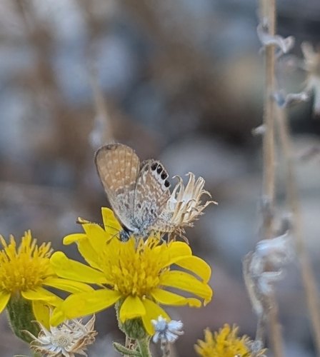
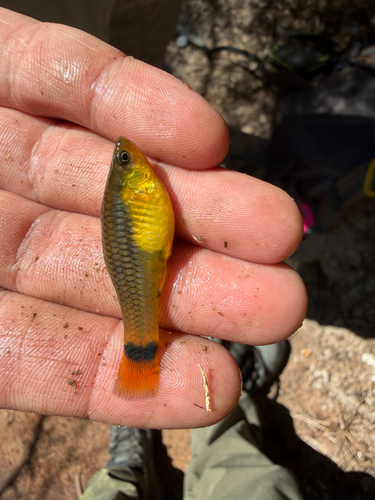
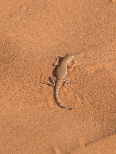

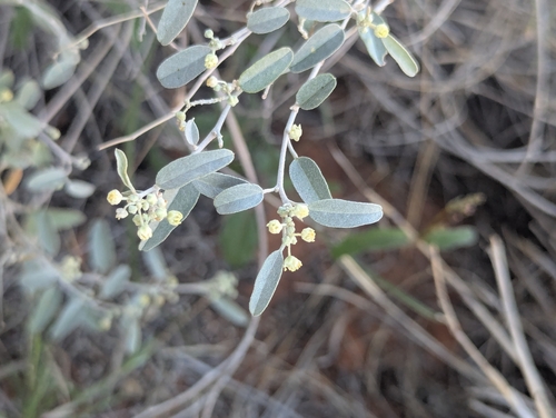
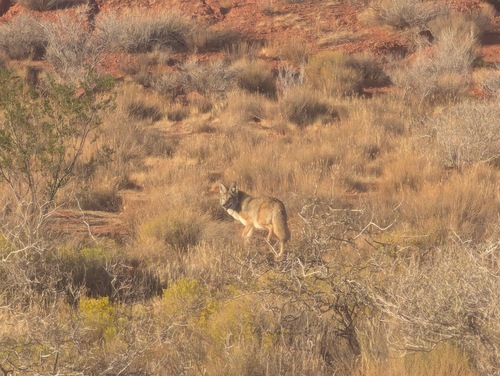
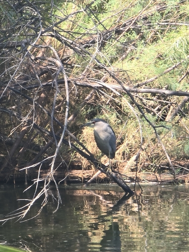

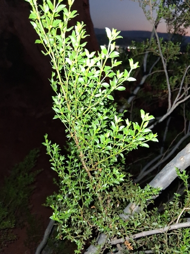
Research-grade observations from iNaturalist (within ~15 mi).
Nearest stream gauge
Live readings from USGS NWIS · measured 2026-10-16 10:45 UTC.
Events
Gallery
Sources
- • Wikipedia
- • US Census Bureau (ACS 5-year estimates)
- • NOAA National Weather Service
- • Wikidata
- • USGS Earthquake Catalog (global feed)
- • USGS NWIS (water data)
- • NCES via Urban Institute Education Data Portal
- • GBIF (Global Biodiversity Information Facility)
- • iNaturalist
- • CDC PLACES
- • Open-Meteo / sunrise-sunset.org
- • Wikipedia Pageviews API
- • Open Library
- • NASA EONET