Browse / United States / Utah / West Jordan
West Jordan
Utahcity

West Jordan
Total population
116,697
Median home value
$554,600
Bachelor's+
Median income
$112,731
Founded
1849
Demographic figures from US Census Bureau · ACS 5-year estimates. Overview below cites Wikipedia and may reference a different year.
City facts
Sister cities
Facts from Wikidata (CC0).
Overview
West Jordan is a city in Salt Lake County, Utah, United States. It is a suburb of Salt Lake City. According to the 2020 Census, the city had a population of 116,961, placing it as the third most populous in the state. The city occupies the southwest end of the Salt Lake Valley at an elevation of 4,330 feet (1,320 m). Named after the nearby Jordan River, the limits of the city begin on the river's western bank and end in the eastern foothills of the Oquirrh Mountains, where Kennecott Copper Mine, the world's largest man-made excavation, is located.
Read more on WikipediaHistory & geography
History
West Jordan received its name from Mormon settlers who entered the Salt Lake Valley in 1847 under the leadership of their prophet, Brigham Young. These first European-Americans named the river flowing west of their first settlement, Salt Lake City, the Western Jordan, a reference to the River Jordan in Jordan. The name was later simplified to "Jordan River". Like its Middle Eastern namesake, the Jordan River flows from a fresh water lake (Utah Lake) to an inland salt sea (Great Salt Lake). West Jordan was founded around 1849 on the western banks of the Jordan River. One of the first sawmills in the area was built in 1850 in the city by Archibald Gardner. Gardner was a devout Mormon whose legacy can still be seen in modern West Jordan. His collection of mills and houses, now historic, have been renovated into a specialty shopping district known as Gardner Village. Early West Jordan relied primarily on agriculture, mills, and mining activity to form the base of its economy. The first leather tannery west of the Mississippi River was constructed in the city in 1851. Today, West Jordan is one of the fastest-growing cities in Utah. The population grew from 4,221 in 1970 to 27,327 in 1980, 42,892 in 1990, and 68,336 in 2000, reaching 103,712 according to the 2010 Census. Sears chose the city as its first Sears Grand location, a new store concept, which opened its doors in 2003 at the Jordan Landing shopping center. Transportation issues along with school overcrowding are the city's top concerns as it attempts to deal with rapid population growth. Current major construction projects include a new main campus for the Salt Lake Community College, the expansion of Jordan Valley Hospital, and Midvale's current transit-oriented development on the east border in the Jordan…
Geography
According to the United States Census Bureau, the city has a total area of 30.9 square miles (80.0 km2), all land. West Jordan is bordered on the west by the Oquirrh Mountains and on the east by the Jordan River. The western neighborhoods of Welby, Copper Hills, and Jordan Hills are rapidly growing regions located along the lower slopes of the eastern Oquirrh Mountains. The fastest development is currently taking place between 4800 West and State Route 111, a highway that traverses the slopes of the Oquirrh Mountains. The city lies approximately southwest of downtown Salt Lake City. The city is bordered on the north by Taylorsville and Kearns, on the south by South Jordan, on the east by Sandy, Murray and Midvale, on the west by Copperton, and on the extreme northwestern corner by West Valley City.
Excerpted from the corresponding Wikipedia article (CC BY-SA).
Demographics & economy
Race & ethnicity
Source: US Census Bureau — American Community Survey, 5-year estimates.
Geography
Coordinates & boundaries from the US Census TIGER/Line shapefiles.
Climate
Current forecast
Forecast for West Jordan, UT from NOAA NWS API.
Air quality
Industrial & pollution facilities
Natural hazard risk
Health (adults)
Age-adjusted prevalence estimates from CDC PLACES (latest release).
Walkability
Amenities nearby
Wildlife & biodiversity
Most-observed species
- House FinchHaemorhous mexicanus (P.L.Statius Müller, 1776) · Aves31,037
- American RobinTurdus migratorius Linnaeus, 1766 · Aves23,530
- Black-capped ChickadeePoecile atricapillus (Linnaeus, 1766) · Aves23,295
- MallardAnas platyrhynchos Linnaeus, 1758 · Aves22,614
- Song SparrowMelospiza melodia (A.Wilson, 1810) · Aves20,751
- House SparrowPasser domesticus (Linnaeus, 1758) · Aves20,618
- Mourning DoveZenaida macroura (Linnaeus, 1758) · Aves20,285
- Lesser GoldfinchSpinus psaltria (Say, 1822) · Aves19,916
Citizen-science & research observations from the Global Biodiversity Information Facility (GBIF).
Schools
Largest nearby schools
- Granger HighHigh · WEST VALLEY CITY · 3,481 students · 26:1 ratio
- Copper Hills HighHigh · WEST JORDAN · 2,841 students · 25.6:1 ratio
- Taylorsville HighHigh · TAYLORSVILLE · 2,770 students · 26.1:1 ratio
- Cyprus HighHigh · MAGNA · 2,709 students · 26.6:1 ratio
- Hunter HighHigh · WEST VALLEY CITY · 2,595 students · 25.2:1 ratio
- Mountain Ridge HighHigh · HERRIMAN · 2,507 students · 24.3:1 ratio
- Bingham HighHigh · SOUTH JORDAN · 2,482 students · 24.6:1 ratio
- Corner Canyon HighHigh · DRAPER · 2,434 students · 26.2:1 ratio
Public K–12 schools within ~10 mi from Urban Institute Education Data Portal (NCES Common Core of Data, 2022).
Earthquake history
Most recent
- M 2.86 — 2026-08-076 km NNW of Saratoga Springs, Utah
- M 3.52 — 2026-02-144 km NNW of West Valley City, Utah
- M 3.5 — 2026-02-056 km WNW of Lehi, Utah
- M 3.26 — 2026-01-0413 km E of Huntsville, Utah
- M 2.75 — 2025-10-086 km WNW of Independence, Utah
- M 3.94 — 2025-05-014 km WNW of Independence, Utah
Events from the USGS Earthquake Catalog (global) (FDSN Event Web Service).
Photos
Sights & places nearby
Notable people from here


People born within ~10 km, from Wikidata (CC0). Click any name for their Wikipedia article.
Nearby places in Utah
- Saratoga Springs18.4 mi away · pop. 48,425
- Woods Cross19.2 mi away
- Stockton22.5 mi away · pop. 901
- Centerville23.2 mi away · pop. 16,679
- Lindon23.4 mi away · pop. 11,765
- Grantsville24.5 mi away · pop. 14,341
- Clearfield34.2 mi away · pop. 33,523
- Coalville36.9 mi away · pop. 1,881
- South Weber36.9 mi away · pop. 8,115
- Clinton37.2 mi away · pop. 23,612
- Hoytsville37.4 mi away · pop. 800
- Enterprise37.6 mi away · pop. 560
Geography & sun
Elevation, sunrise/sunset and daylight from Open-Meteo. Solar climatology from NASA POWER.
Nearby airports
Public attention
Pageview totals from the Wikimedia Pageviews API.
Books about West Jordan
Search results from Open Library.
Recent natural events nearby
- Wildfire Rocky Canyon, Morgan, UtahWildfires · 2026-08-07 · 30 mi
- Prescribed Fire West Fork RX, Wasatch, UtahWildfires · 2026-10-05 · 50 mi
- Wildfire Brushy Canyon, Box Elder, UtahWildfires · 2026-08-27 · 54 mi
- Wildfire Tom Creek, Tooele, UtahWildfires · 2026-08-24 · 56 mi
- Prescribed Fire Bear River MBR Unit 2c RX, Box Elder, UtahWildfires · 2026-09-18 · 63 mi
- Wildfire Johnson Canyon, Box Elder, UtahWildfires · 2026-08-01 · 89 mi
- Wildfire Salt Wells, Box Elder, UtahWildfires · 2026-08-21 · 90 mi
- Wildfire Slough Canyon, Grand, UtahWildfires · 2026-08-15 · 139 mi
Wildfires, storms and other events from NASA EONET (last 12 months, within 250 mi).
Ground air-quality sensors
Recently spotted species
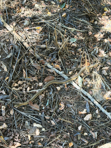
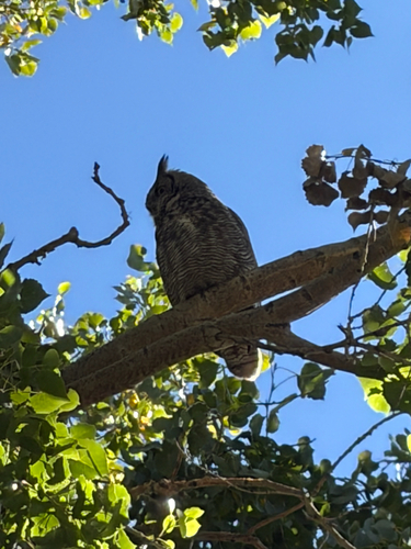

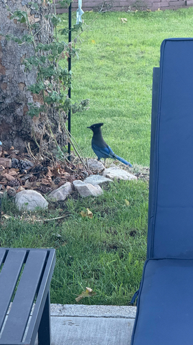



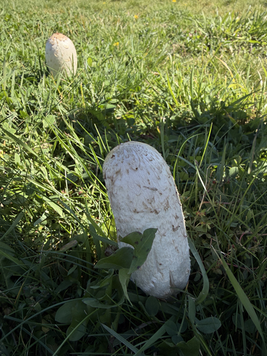
Research-grade observations from iNaturalist (within ~15 mi).
Nearest stream gauge
Live readings from USGS NWIS · measured 2026-10-16 16:00 UTC.
Events
Gallery
Sources
- • Wikipedia
- • US Census Bureau (ACS 5-year estimates)
- • NOAA National Weather Service
- • Wikidata
- • USGS Earthquake Catalog (global feed)
- • USGS NWIS (water data)
- • NCES via Urban Institute Education Data Portal
- • GBIF (Global Biodiversity Information Facility)
- • iNaturalist
- • CDC PLACES
- • Open-Meteo / sunrise-sunset.org
- • Wikipedia Pageviews API
- • Open Library
- • NASA EONET