Browse / Uruguay / Colonia / Conchillas
Conchillas
Coloniavillage

Conchillas
Total population
545
Founded
1887
Demographic figures from INE Uruguay. Overview below cites Wikipedia and may reference a different year.
City facts
Facts from Wikidata (CC0).
Overview
Conchillas is a small industrial town located within the Colonia Department, in southwestern Uruguay.
Read more on WikipediaHistory & geography
History
The town was founded by the British on 24 October 1887. His nephew, Charles Hay Walker, moved to Conchillas to supervise the work. The English created a factory, founded two cemeteries, and established an Anglican Church. John Evans was a ship's cook on one of the Walker vessels. When the ship was lost in the River Plate, he opened a cantina on the shore, feeding the workers. This was successful and he expanded as a provision merchant. This business grew so well that it became a partnership with Walker & Co., who built a large warehouse and shop, which still survives. As was typical practice for contractors and 'company towns', Evans issued their own currency of tokens, which were widely accepted in the surroundings and recognised as legal tender by the Uruguayan government. However, with the outbreak of the Second World War, Conchillas key infrastructure was sold to two Uruguayan entrepreneurs who introduced a series of modifications. Today, the English influence that resulted from the arrival of numerous European settlers is mainly evident in the architecture of Conchillas rather than in the way of life of its inhabitants.
Geography
The town is located on the coast of Río de la Plata near the stream Arroyo Conchillas, northwest of Colonia del Sacramento, the capital city of the department, and southeast of Carmelo.
Excerpted from the corresponding Wikipedia article (CC BY-SA).
Geography
Coordinates & boundaries from the US Census TIGER/Line shapefiles.
Climate
10-year averages from ERA5 reanalysis (Open-Meteo).
Air quality
Walkability
Amenities nearby
Wildlife & biodiversity
Earthquake history
Photos
Sights & places nearby
Notable people from here


People born within ~10 km, from Wikidata (CC0). Click any name for their Wikipedia article.
Nearby places in Colonia
- Pueblo Gil0.8 mi away · pop. 284
- Radial Hernández3.3 mi away · pop. 293
- Minas de Narancio4.1 mi away
- Campana11.8 mi away · pop. 380
- Carmelo18.4 mi away · pop. 19,915
- Ombúes de Lavalle20.1 mi away · pop. 3,665
- Estanzuela20.9 mi away · pop. 305
- El Semillero23 mi away · pop. 538
- Colonia del Sacramento23.7 mi away · pop. 32,159
- Miguelete24.6 mi away · pop. 975
- Tarariras24.9 mi away · pop. 7,269
- Nueva Palmira29.5 mi away · pop. 10,775
Geography & sun
Elevation, sunrise/sunset and daylight from Open-Meteo. Solar climatology from NASA POWER.
Nearby airports
Public attention
Pageview totals from the Wikimedia Pageviews API.
Books about Conchillas
Search results from Open Library.
Recent natural events nearby
Ground air-quality sensors
Recently spotted species
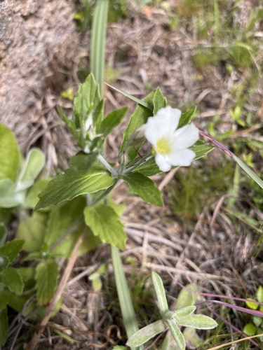
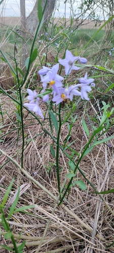
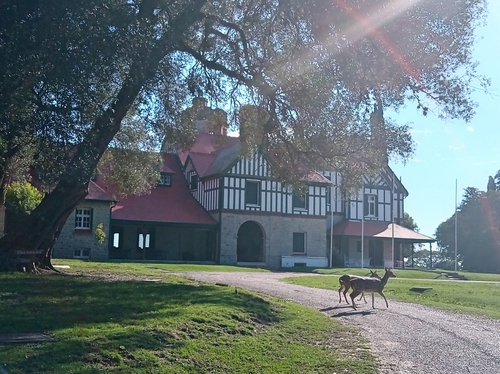
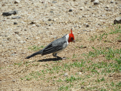
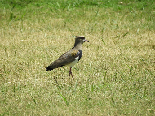
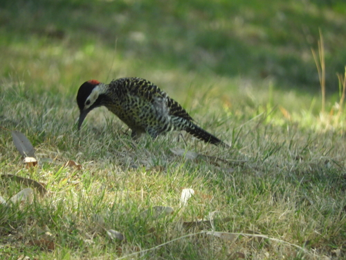
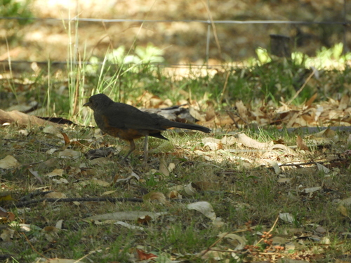
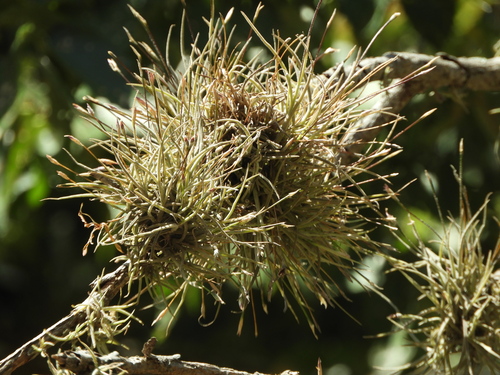
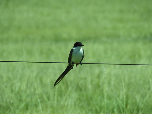
Research-grade observations from iNaturalist (within ~15 mi).
Events
Gallery
Sources
- • Wikipedia
- • Open-Meteo (ERA5 reanalysis)
- • Wikidata
- • iNaturalist
- • Open-Meteo / sunrise-sunset.org
- • Wikipedia Pageviews API
- • Open Library
- • Wikidata SPARQL (CC0) — population, area, elevation, inception, head of government, Commons image