Browse / Uruguay / Tacuarembó / Paso de los Toros
Paso de los Toros
Tacuarembócity

Paso de los Toros
Total population
14,210
Founded
1903
Demographic figures from INE Uruguay. Overview below cites Wikipedia and may reference a different year.
City facts
Facts from Wikidata (CC0).
Overview
Paso de los Toros is a city of the Tacuarembó Department in Uruguay.
Read more on WikipediaHistory & geography
History
The Midland Uruguay Railway began operation in 1889 with a line that ran between Paso de los Toros and Salto. On 17 July 1903, the group of houses of the area known as Paso de los Toros was declared a "Pueblo" (village) named "Santa Isabel" and became head of the judicial section of the same name. On 27 November 1929 it was renamed to "Paso de los Toros" and its status was elevated to "Villa" (town) by the Act of Ley Nº 8.523.
Geography
The city is located on the north bank of Río Negro and on Route 5, about south-southwest of Tacuarembó, the capital of the department, and about north of Durazno, the capital of Durazno Department.
Excerpted from the corresponding Wikipedia article (CC BY-SA).
Geography
Coordinates & boundaries from the US Census TIGER/Line shapefiles.
Climate
Air quality
Walkability
Amenities nearby
Wildlife & biodiversity
Most-observed species
- Great KiskadeePitangus sulphuratus (Linnaeus, 1766) · Aves249
- Rufous HorneroFurnarius rufus (Gmelin, 1788) · Aves248
- Southern LapwingVanellus chilensis (Molina, 1782) · Aves245
- Red-crested CardinalParoaria coronata (J.F.Miller, 1776) · Aves227
- Picazuro PigeonPatagioenas picazuro (Temminck, 1813) · Aves225
- Rufous-collared SparrowZonotrichia capensis (P.L.S.Müller, 1776) · Aves210
- Eared DoveZenaida auriculata (Des Murs, 1847) · Aves201
- Monk ParakeetMyiopsitta monachus (Boddaert, 1783) · Aves198
Citizen-science & research observations from the Global Biodiversity Information Facility (GBIF).
Earthquake history
Events from the USGS Earthquake Catalog (global) (FDSN Event Web Service).
Photos
Sights & places nearby
Notable people from here

People born within ~10 km, from Wikidata (CC0). Click any name for their Wikipedia article.
Nearby places in Tacuarembó
- Cuchilla de Peralta23.8 mi away · pop. 224
- San Gregorio de Polanco41.9 mi away · pop. 3,899
- Tambores66.7 mi away · pop. 1,448
- Las Toscas de Caraguatá98 mi away · pop. 1,200
- Paso del Cerro100.4 mi away · pop. 269
- Colhe Bicho3964.5 mi away
- Pedra Ferro3966.2 mi away
- Shamwana5596.4 mi away
- Kalemie5747.8 mi away · pop. 355,126
- Ballyporeen6564.2 mi away
- Clogheen6567.3 mi away
- Lisvarrinane6568.4 mi away
Geography & sun
Elevation, sunrise/sunset and daylight from Open-Meteo. Solar climatology from NASA POWER.
Nearby airports
Public attention
Pageview totals from the Wikimedia Pageviews API.
Books about this place
Recent natural events nearby
Ground air-quality sensors
Recently spotted species
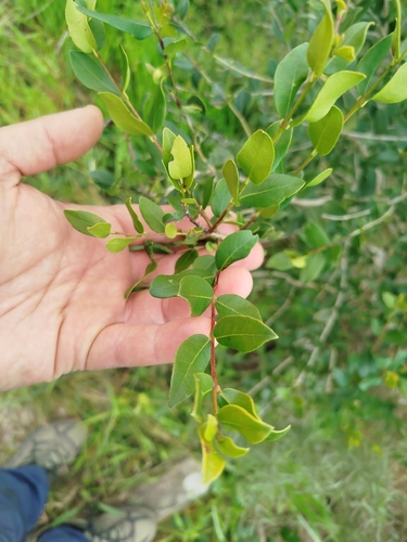
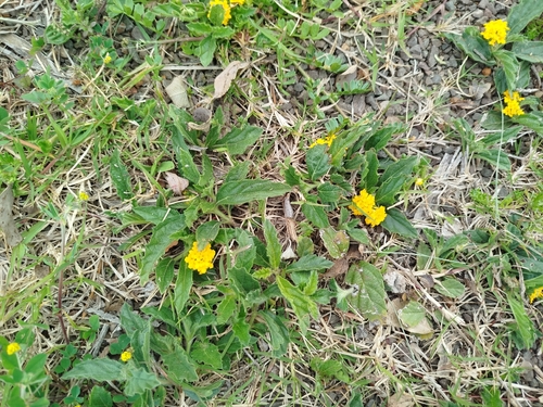
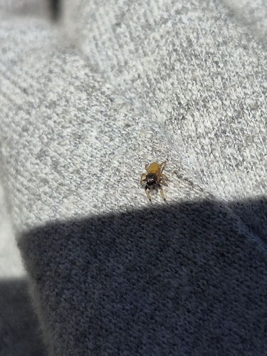
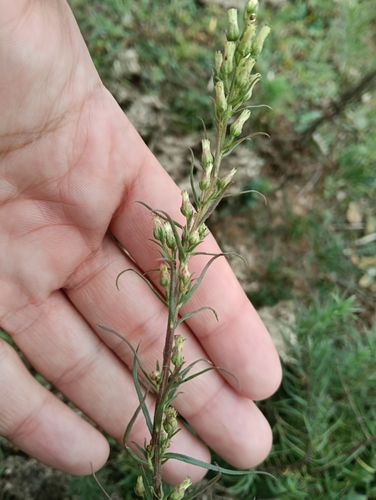


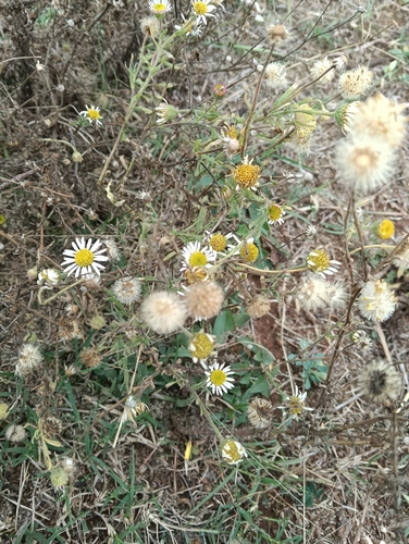
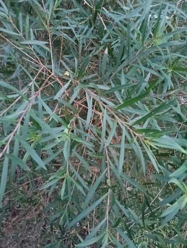
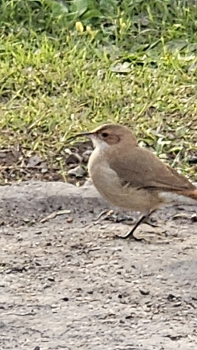
Research-grade observations from iNaturalist (within ~15 mi).
Events
Gallery
Geotagged photos within ~6 miles of Paso de los Toros, from Wikimedia Commons contributors.


.jpg)


Photos via Wikimedia Commons — see each image page for license & attribution.
Sources
- • Wikipedia
- • Wikimedia Commons
- • Wikidata
- • USGS Earthquake Catalog (global feed)
- • GBIF (Global Biodiversity Information Facility)
- • iNaturalist
- • Open-Meteo / sunrise-sunset.org
- • Wikipedia Pageviews API
- • Wikidata SPARQL (CC0) — population, area, elevation, inception, head of government, Commons image