Browse / Uruguay / Tacuarembó / Paso del Cerro
Paso del Cerro
Tacuarembóvillage
Total population
269
Demographic figures from INE Uruguay. Overview below cites Wikipedia and may reference a different year.
City facts
Overview
Situated in Tacuarembó, Uruguay, Paso del Cerro is a small village. Recent open-data figures place its population at about 269. Geographically it lies in the southern hemisphere at a warm temperate latitude (-31.479°, -55.832°). Time-zone records list it under Q6513. Spanning a compact footprint of just 0.47655076 km², Paso del Cerro lies at a modest elevation of 124 m. Open solar datasets indicate about 1,725 kWh/m² of solar irradiance per year, combined with sunshine for roughly 68% of daylight hours. Climatically, locations at this latitude tend to experience warm summers and cool winters. At 564 people per km², the village shows an average residential density. Continue scrolling for population, climate, environmental and points-of-interest data drawn from public sources.
Summary composed automatically from structured open data on this page. See our Terms for details.
History & geography
Geography
Coordinates & boundaries from the US Census TIGER/Line shapefiles.
Climate
Air quality
Walkability
Amenities nearby
Wildlife & biodiversity
Earthquake history
Photos
Sights & places nearby
Notable people from here
Nearby places in Tacuarembó
- Tambores36.5 mi away · pop. 1,448
- Las Toscas de Caraguatá68.7 mi away · pop. 1,200
- Cuchilla de Peralta76.5 mi away · pop. 224
- San Gregorio de Polanco78.7 mi away · pop. 3,899
- Colhe Bicho3867.5 mi away
- Pedra Ferro3869.2 mi away
- Shamwana5562.6 mi away
- Kalemie5712 mi away · pop. 355,126
- Ballyporeen6464 mi away
- Clogheen6467.2 mi away
- Lisvarrinane6468.2 mi away
- Ardfinnan6472.1 mi away
Geography & sun
Elevation, sunrise/sunset and daylight from Open-Meteo. Solar climatology from NASA POWER.
Nearby airports
Public attention
Pageview totals from the Wikimedia Pageviews API.
Books about this place
Recent natural events nearby
Ground air-quality sensors
Recently spotted species
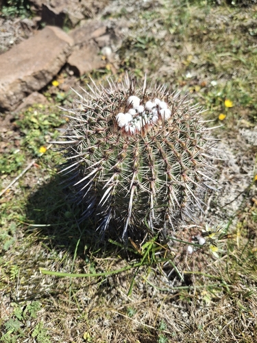
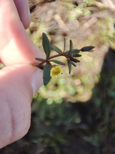
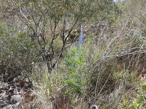
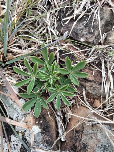
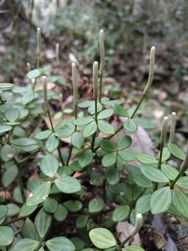
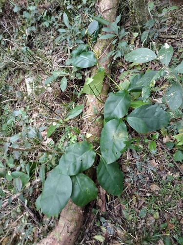
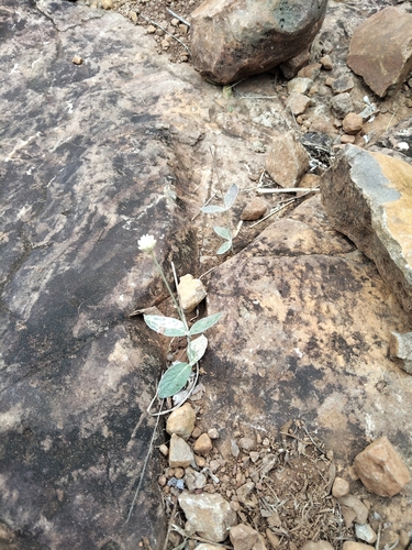
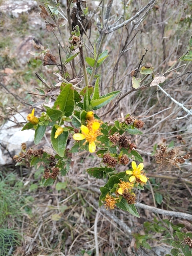
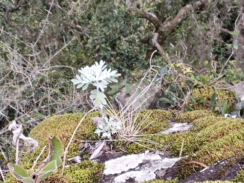
Research-grade observations from iNaturalist (within ~15 mi).
Events
Gallery
Sources
- • Wikidata
- • iNaturalist
- • Open-Meteo / sunrise-sunset.org
- • Wikipedia Pageviews API
- • Wikidata SPARQL (CC0) — population, area, elevation, inception, head of government, Commons image