Browse / United States / Virginia / Fries
Fries
Virginiatown

Fries
Total population
330
Median home value
$121,600
Bachelor's+
Median income
$33,056
Demographic figures from US Census Bureau · ACS 5-year estimates. Overview below cites Wikipedia and may reference a different year.
City facts
Overview
Fries is an incorporated town located on the New River in Grayson County, Virginia, United States, 15.5 miles northeast of the county seat of Independence — in Virginia's Blue Ridge Highlands and on Virginia's musical heritage trail, The Crooked Road.
Read more on WikipediaHistory & geography
History
Fries was named after North Carolina cotton mill owner Colonel Francis Henry Fries. Jim 'Pipe' Carico (of Stephens Creek, Virginia, the nearest incorporated town) contacted Fries in 1900 and proposed Bartlett Falls on New River as a site for a hydroelectric dam that could power a cotton mill. Fries purchased the surrounding rural farmland then hired a local labor force to build a dam, a cotton mill and a full-service company owned town. By 1901, the New River Train was extended to the mill site and Fries petitioned the Virginia State Legislature to incorporate the new town of Carico, VA in honor of Jim 'Pipe' Carico. For reasons that are not well documented, the town name was instead legislatively changed to Fries, Virginia and officially incorporated in 1902. Despite the heavy reliance on manual labor, mules and oxen, the town's construction progressed quickly and the open call for employment spurred migration to the town. Around 300 houses, a post office, a church and a company commissary were wedged into the surrounding hillside before the mill began operation in February 1903 — with "the most sophisticated technology in the world." After changing hands numerous times, the mill closed in 1989.
Geography
Fries is located at (36.715537, −80.975849). According to the United States Census Bureau, the town has a total area of 0.8 square mile (2.1 km2), of which 0.6 square mile (1.7 km2) is land and 0.2 square mile (0.4 km2) (19.75%) is water.
Excerpted from the corresponding Wikipedia article (CC BY-SA).
Demographics & economy
Race & ethnicity
Source: US Census Bureau — American Community Survey, 5-year estimates.
Geography
Coordinates & boundaries from the US Census TIGER/Line shapefiles.
Climate
Current forecast
Forecast for Fries, VA from NOAA NWS API.
Air quality
Industrial & pollution facilities
Natural hazard risk
Health (adults)
Walkability
Amenities nearby
Wildlife & biodiversity
Most-observed species
- American CrowCorvus brachyrhynchos C.L.Brehm, 1822 · Aves1,298
- Northern CardinalCardinalis cardinalis (Linnaeus, 1758) · Aves1,007
- Carolina WrenThryothorus ludovicianus (Latham, 1790) · Aves898
- Blue JayCyanocitta cristata (Linnaeus, 1758) · Aves867
- Tufted TitmouseBaeolophus bicolor (Linnaeus, 1766) · Aves859
- American GoldfinchSpinus tristis (Linnaeus, 1758) · Aves854
- Song SparrowMelospiza melodia (A.Wilson, 1810) · Aves806
- Carolina ChickadeePoecile carolinensis (Audubon, 1834) · Aves769
Citizen-science & research observations from the Global Biodiversity Information Facility (GBIF).
Schools
Earthquake history
Photos
Sights & places nearby
Notable people from here

People born within ~10 km, from Wikidata (CC0). Click any name for their Wikipedia article.
Nearby places in Virginia
Geography & sun
Elevation, sunrise/sunset and daylight from Open-Meteo. Solar climatology from NASA POWER.
Nearby airports
Public attention
Pageview totals from the Wikimedia Pageviews API.
Books about Fries




Search results from Open Library.
Recent natural events nearby
Ground air-quality sensors
Recently spotted species
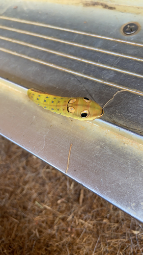
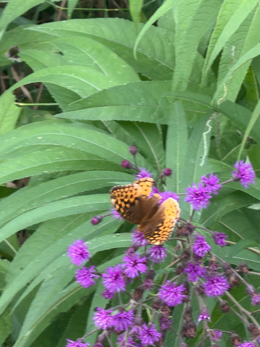
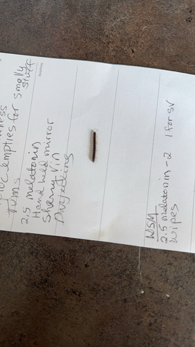
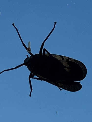
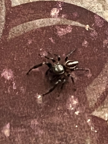
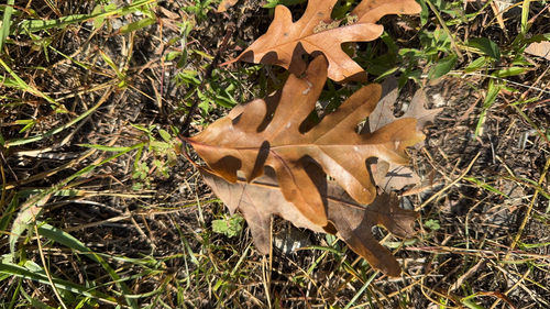
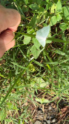
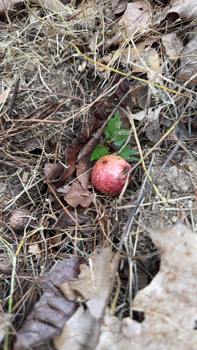
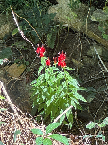
Research-grade observations from iNaturalist (within ~15 mi).
Nearest stream gauge
Events
Gallery
Sources
- • Wikipedia
- • US Census Bureau (ACS 5-year estimates)
- • NOAA National Weather Service
- • Wikidata
- • GBIF (Global Biodiversity Information Facility)
- • iNaturalist
- • Open-Meteo / sunrise-sunset.org
- • Wikipedia Pageviews API
- • Open Library