Browse / United States / Virginia / Hampton
Hampton
Virginiacity

Hampton
Total population
137,596
Median home value
$266,100
Bachelor's+
Median income
$69,277
Founded
1610
Air quality index
Demographic figures from US Census Bureau · ACS 5-year estimates. Overview below cites Wikipedia and may reference a different year.
City facts
Sister cities
Facts from Wikidata (CC0).
Overview
Hampton is an independent city in Virginia, United States. The population was 137,148 at the 2020 census, making it the seventh-most populous city in Virginia. Hampton is included in the Hampton Roads metropolitan area, which has more than 1.8 million inhabitants and is the 37th-largest metropolitan area in the U.S.
Read more on WikipediaHistory & geography
History
Indigenous people settled in present-day Hampton before 10,000 BCE. In the early 1600s, the Tidewater region was populated by the Algonquian peoples who called the lands Tsenacommacah. The Powhatan Confederacy was made up of over 30 tribes numbering an estimated 25,000 people before the arrival of English colonists. In December 1606, three ships carrying men and boys left England on a mission sponsored by a proprietary company. Led by Captain Christopher Newport, they sailed across the Atlantic Ocean to North America. After a long voyage, they first landed at the entrance to the Chesapeake Bay on the south shore at a place they named Cape Henry (for Henry Frederick, Prince of Wales, the elder son of their king). During the first few days of exploration, they identified the site of Old Point Comfort (which they originally named "Point Comfort") as a strategic defensive location at the entrance to the body of water that became known as Hampton Roads. This is formed by the confluence of the Elizabeth, Nansemond, and James rivers. The latter is the longest river in Virginia. Weeks later, on May 14, 1607, they established the first permanent English settlement in the present-day United States at Jamestown, Virginia, about further inland from the Bay, which became the site of fortifications during the following 200 years. Slightly south, near the entrance to Hampton River, the colonists seized the Native American community of Kecoughtan under Virginia's Governor, Sir Thomas Gates. The colonists established their own small town, with a small Anglican church (known now as St. John's Episcopal Church), on July 9, 1610. This came to be known as part of Hampton. (With Jamestown having been abandoned in 1699, Hampton claims to be the oldest continuously occupied English…
Geography
According to the United States Census Bureau, the city has a total area of , of which is land and (62.2%) is water. * Aberdeen Gardens * Buckroe Beach * Farmington * Fox Hill * Hampton Woods * Northampton * Newmarket * Phoebus * Victoria Boulevard Historic District * Wythe, including the Olde Wythe Historic District Hampton has a humid subtropical climate (Köppen: Cfa) characteristic of the Southeast United States. The weather in Hampton is temperate and seasonal with hot and humid summers and mild winters. The mean annual temperature is , with an average annual snowfall of and an average annual rainfall of . The wettest month by average rainfall is August with an average of 2.4 inches of rain falling on 11–12 days, although in March it typically rains on more days with 2.3 inches of rain falling in 12 to 13 days. The hottest day on record was August 1, 1980, when the temperature hit . The lowest recorded temperature of was recorded on January 21, 1985.
Excerpted from the corresponding Wikipedia article (CC BY-SA).
Demographics & economy
Race & ethnicity
Source: US Census Bureau — American Community Survey, 5-year estimates.
Geography
Coordinates & boundaries from the US Census TIGER/Line shapefiles.
Climate
Current forecast
Forecast for Hampton, VA from NOAA NWS API.
Air quality
Current readings from Open-Meteo Air Quality API (Copernicus CAMS European reanalysis).
Industrial & pollution facilities
Natural hazard risk
Health (adults)
Age-adjusted prevalence estimates from CDC PLACES (latest release).
Walkability
Amenities nearby
Wildlife & biodiversity
Most-observed species
- Northern CardinalCardinalis cardinalis (Linnaeus, 1758) · Aves17,109
- American CrowCorvus brachyrhynchos C.L.Brehm, 1822 · Aves15,793
- Carolina ChickadeePoecile carolinensis (Audubon, 1834) · Aves14,023
- Double-crested CormorantPhalacrocorax auritus (Lesson, 1831) · Aves13,479
- Northern MockingbirdMimus polyglottos (Linnaeus, 1758) · Aves13,137
- Carolina WrenThryothorus ludovicianus (Latham, 1790) · Aves13,132
- Mourning DoveZenaida macroura (Linnaeus, 1758) · Aves12,987
- American RobinTurdus migratorius Linnaeus, 1766 · Aves12,308
Citizen-science & research observations from the Global Biodiversity Information Facility (GBIF).
Schools
Largest nearby schools
- BETHEL HIGHHigh · Hampton · 1,777 students · 14.9:1 ratio
- KECOUGHTAN HIGHHigh · Hampton · 1,564 students · 13.8:1 ratio
- George P. Phenix ElementaryElementary · Hampton · 1,516 students · 9.5:1 ratio
- PHOEBUS HIGHHigh · Hampton · 1,365 students · 16.1:1 ratio
- HAMPTON HIGHHigh · Hampton · 1,359 students · 14:1 ratio
- Hunter B. AndrewsElementary · Hampton · 1,131 students · 13.8:1 ratio
- BENJAMIN SYMS MIDDLEMiddle · Hampton · 897 students · 14:1 ratio
- C. ALTON LINDSAY MIDDLEMiddle · Hampton · 707 students · 12.2:1 ratio
Public K–12 schools within ~10 mi from Urban Institute Education Data Portal (NCES Common Core of Data, 2022).
Earthquake history
Events from the USGS Earthquake Catalog (global) (FDSN Event Web Service).
Photos
Sights & places nearby
Notable people from here


People born within ~10 km, from Wikidata (CC0). Click any name for their Wikipedia article.
Nearby places in Virginia
Geography & sun
Elevation, sunrise/sunset and daylight from Open-Meteo. Solar climatology from NASA POWER.
Nearby airports
Public attention
Pageview totals from the Wikimedia Pageviews API.
Books about Hampton




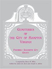
Search results from Open Library.
Recent natural events nearby
- ROSE BAY CANAL Wildfire, Hyde, North CarolinaWildfires · 2026-06-03 · 108 mi
- CADDUGGEN Wildfire, Carteret, North CarolinaWildfires · 2026-05-20 · 147 mi
- Little Schloss RX Prescribed Fire, Shenandoah, VirginiaWildfires · 2026-06-10 · 182 mi
Wildfires, storms and other events from NASA EONET (last 12 months, within 250 mi).
Ground air-quality sensors
Recently spotted species
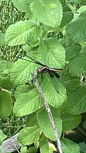


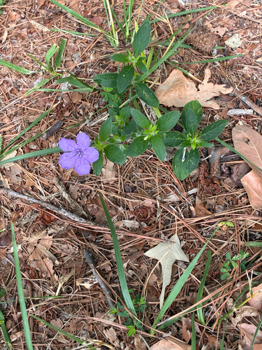
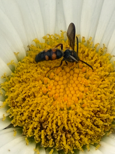


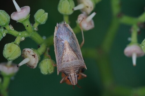

Research-grade observations from iNaturalist (within ~15 mi).
Nearest stream gauge
Live readings from USGS NWIS · measured 2026-06-27 17:06 UTC.
Events
Gallery
Geotagged photos within ~6 miles of Hampton, from Wikimedia Commons contributors.
 1.2 mi
 1.2 mi
_in_1891_(50118931986).jpg) 1.3 mi
1.3 mi.jpg) 1.4 mi
1.4 mi.jpg) 2.1 mi
2.1 mi 2.1 mi
 2.4 mi
 2.5 mi
 2.5 mi
_at_Old_Fox_Hill_Road_in_Hampton,_Virginia.jpg) 2.5 mi
2.5 mi 2.5 mi
 2.5 mi
.jpg) 2.5 mi
2.5 mi 2.5 mi
 2.5 mi
 2.6 mi
_at_U.S._Route_258_(Mercury_Boulevard)_in_Hampton,_Virginia.jpg) 2.8 mi
2.8 mi.jpg) 2.8 mi
2.8 mi 2.9 mi
.jpg) 2.9 mi
2.9 mi.jpg) 2.9 mi
2.9 mi.jpg) 2.9 mi
2.9 mi.jpg) 2.9 mi
2.9 mi.jpg) 2.9 mi
2.9 miPhotos via Wikimedia Commons — see each image page for license & attribution.
Sources
- • Wikipedia
- • US Census Bureau (ACS 5-year estimates)
- • NOAA National Weather Service
- • Wikimedia Commons
- • Wikidata
- • Open-Meteo Air Quality (CAMS)
- • USGS Earthquake Catalog (global feed)
- • USGS NWIS (water data)
- • NCES via Urban Institute Education Data Portal
- • GBIF (Global Biodiversity Information Facility)
- • iNaturalist
- • CDC PLACES
- • Open-Meteo / sunrise-sunset.org
- • Wikipedia Pageviews API
- • Open Library
- • NASA EONET