Browse / United States / Virginia / Nassawadox
Nassawadox
Virginiatown

Nassawadox
Total population
590
Median home value
$152,500
Bachelor's+
Median income
$51,932
Demographic figures from US Census Bureau · ACS 5-year estimates. Overview below cites Wikipedia and may reference a different year.
City facts
Facts from Wikidata (CC0).
Overview
Nassawadox is a town in Northampton County, Virginia, United States. Per the 2020 census, the population was 533. The town, with an area of 0.4 square miles (1.0 km2), is located on U.S. Route 13 on Virginia's Eastern Shore, approximately five miles south of Exmore and 25 miles (40 km) north of the Chesapeake Bay Bridge-Tunnel.
Read more on WikipediaHistory & geography
History
The name derives from a word from a Native American language that means "land between two waters." Nassawadox is bounded on the east by the Atlantic Ocean and on the west by the Chesapeake Bay. The county is divided, as is the town, into bayside and seaside areas, which refer to the land on either side of the highway, Route 13 (Lankford Highway), which runs through Accomack and Northampton counties. Highlighting its name and its location, Nassawadox has since 1993 hosted the annual October Between the Waters Bike Tour, which features bike tours of various lengths between the Eastern Shore's two coasts. Brownsville and the Northampton Lumber Company Historic District are listed on the National Register of Historic Places.
Excerpted from the corresponding Wikipedia article (CC BY-SA).
Demographics & economy
Race & ethnicity
Source: US Census Bureau — American Community Survey, 5-year estimates.
Geography
Coordinates & boundaries from the US Census TIGER/Line shapefiles.
Climate
Air quality
Industrial & pollution facilities
Natural hazard risk
Health (adults)
Walkability
Amenities nearby
Wildlife & biodiversity
Most-observed species
- American CrowCorvus brachyrhynchos C.L.Brehm, 1822 · Aves3,624
- Northern CardinalCardinalis cardinalis (Linnaeus, 1758) · Aves3,549
- Carolina WrenThryothorus ludovicianus (Latham, 1790) · Aves3,515
- Turkey VultureCathartes aura (Linnaeus, 1758) · Aves3,066
- Carolina ChickadeePoecile carolinensis (Audubon, 1834) · Aves2,938
- Laughing GullLeucophaeus atricilla (Linnaeus, 1758) · Aves2,434
- Eastern BluebirdSialia sialis (Linnaeus, 1758) · Aves2,327
- Tufted TitmouseBaeolophus bicolor (Linnaeus, 1766) · Aves2,296
Citizen-science & research observations from the Global Biodiversity Information Facility (GBIF).
Schools
Earthquake history
Most recent
- M 2.6 — 2023-02-0929 km E of Greenbackville, Virginia
Events from the USGS Earthquake Catalog (global) (FDSN Event Web Service).
Photos
Sights & places nearby
Notable people from here
Nearby places in Virginia
Geography & sun
Nearby airports
Public attention
Books about this place
Recent natural events nearby
Ground air-quality sensors
Recently spotted species
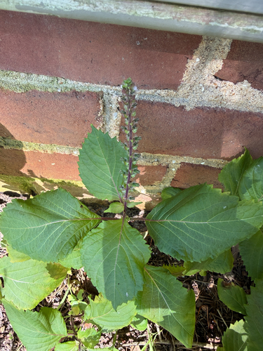
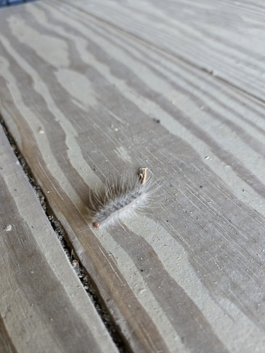
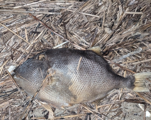
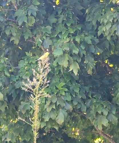
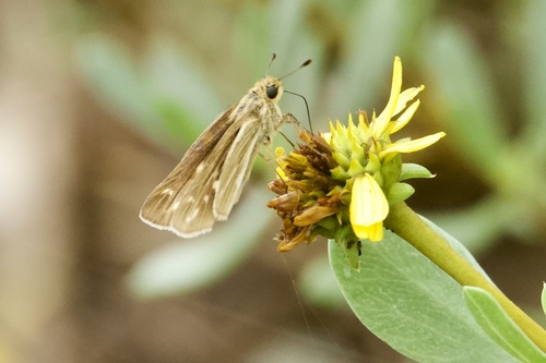
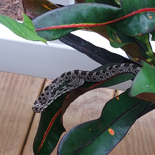
Research-grade observations from iNaturalist (within ~15 mi).
Nearest stream gauge
Events
Gallery
Sources
- • Wikipedia
- • US Census Bureau (ACS 5-year estimates)
- • Wikidata
- • USGS Earthquake Catalog (global feed)
- • GBIF (Global Biodiversity Information Facility)
- • iNaturalist