Browse / United States / Virginia / Vienna
Vienna
Virginiatown

Vienna
Total population
16,412
Median home value
$1,008,800
Bachelor's+
Median income
$216,953

Founded
1754
Air quality index
Demographic figures from US Census Bureau · ACS 5-year estimates. Overview below cites Wikipedia and may reference a different year.
- Extreme Heat Watch · SevereExtreme Heat Watch issued June 30 at 8:12PM EDT until July 3 at 8:00PM EDT by NWS Baltimore MD/Washington DC
- Heat Advisory · ModerateHeat Advisory issued June 30 at 8:12PM EDT until July 1 at 8:00PM EDT by NWS Baltimore MD/Washington DC
Source: NOAA National Weather Service.
City facts
Facts from Wikidata (CC0).
Overview
Vienna is a town in Fairfax County, Virginia, United States, and a suburb of Washington, D.C. As of the 2020 U.S. census, Vienna had a population of 16,562. It was first settled by Europeans in the mid-18th century. In 1861, the Battle of Vienna, one of the earliest American Civil War battles, was fought in Vienna. The Vienna Town Council, which governs the town, is composed of a mayor and six councilmembers. The town's education is served mainly by Fairfax County Public Schools.
Read more on WikipediaHistory & geography
History
European settlement in the region dates to the mid-18th century. In 1754, soldier and landowner Colonel Charles Broadwater settled within the town boundaries. Broadwater's son-in-law, John Hunter, built the first recorded house there in 1767, naming it Ayr Hill to recall his birthplace, Ayr, Scotland. That name was then applied to the community. The town's name was changed in the 1850s, when a doctor, William Hendrick, settled there and the town renamed itself after his hometown, Phelps, New York, which at the time was known as Vienna. On June 17, 1861, the Battle of Vienna, one of the earliest armed clashes of the American Civil War, was fought in Vienna. A Union army unit under Brigadier General Robert C. Schenck approached Vienna from the east by train but was ambushed and forced to retreat by a Confederate force led by Colonel Maxcy Gregg. Several historical markers in Vienna detail its Civil War history. In addition, in the town center lies the well preserved Freeman House; which, in 1861, was the polling place for the secession vote and was used during the war by both sides as a hospital. The house has been turned into a museum and gift shop. The First Baptist Church of Vienna was founded in 1867, and the original church structure was built using Union Army barracks lumber obtained through the Freedmen's Bureau. This church building was also the town's first black public school. The first white public school was built in 1872. A permanent black elementary school was built, and was later named for its long-time principal, Louise Archer. In fall 1965, Fairfax County Public Schools were completely desegregated.
Geography
Vienna lies in the Piedmont approximately southwest of the Potomac River. Wolftrap Creek, a tributary of nearby Difficult Run, flows north from its source in the eastern part of town. The Bear Branch of Accotink Creek, a Potomac tributary, flows south from its source in the southern part of town. According to the U.S. Census Bureau, the town has a total area of , all of it land. As a suburb of Washington, D.C., Vienna is a part of both the Washington metropolitan area and the larger Washington–Baltimore combined statistical area. It is bordered on all sides by other Washington suburbs, including Wolf Trap to the north, Tysons Corner to the northeast, Dunn Loring to the east, Merrifield to the south, and Oakton to the west. These communities are unincorporated, and portions of them lie in ZIP codes with Vienna postal addresses despite lying outside the town's borders.
Excerpted from the corresponding Wikipedia article (CC BY-SA).
Demographics & economy
Race & ethnicity
Source: US Census Bureau — American Community Survey, 5-year estimates.
Geography
Coordinates & boundaries from the US Census TIGER/Line shapefiles.
Climate
10-year averages from ERA5 reanalysis (Open-Meteo).
Current forecast
Forecast for Vienna, VA from NOAA NWS API.
Air quality
Current readings from Open-Meteo Air Quality API (Copernicus CAMS European reanalysis).
Industrial & pollution facilities
Natural hazard risk
Health (adults)
Age-adjusted prevalence estimates from CDC PLACES (latest release).
Walkability
Amenities nearby
Wildlife & biodiversity
Most-observed species
- Northern CardinalCardinalis cardinalis (Linnaeus, 1758) · Aves175,084
- American RobinTurdus migratorius Linnaeus, 1766 · Aves138,988
- Carolina WrenThryothorus ludovicianus (Latham, 1790) · Aves138,684
- Blue JayCyanocitta cristata (Linnaeus, 1758) · Aves121,308
- American CrowCorvus brachyrhynchos C.L.Brehm, 1822 · Aves120,883
- Mourning DoveZenaida macroura (Linnaeus, 1758) · Aves120,695
- Red-bellied WoodpeckerMelanerpes carolinus (Linnaeus, 1758) · Aves112,294
- Tufted TitmouseBaeolophus bicolor (Linnaeus, 1766) · Aves110,046
Citizen-science & research observations from the Global Biodiversity Information Facility (GBIF).
Schools
Largest nearby schools
- LAKE BRADDOCK SECONDARYHigh · Burke · 4,377 students · 16.8:1 ratio
- ROBINSON SECONDARYHigh · Fairfax · 3,607 students · 16.6:1 ratio
- CHANTILLY HIGHHigh · Chantilly · 2,937 students · 16.2:1 ratio
- OAKTON HIGHHigh · Vienna · 2,701 students · 17.5:1 ratio
- WEST SPRINGFIELD HIGHHigh · Springfield · 2,663 students · 17.6:1 ratio
- CENTREVILLE HIGHHigh · Clifton · 2,623 students · 17.6:1 ratio
- SOUTH LAKES HIGHHigh · Reston · 2,530 students · 15.2:1 ratio
- WOODSON HIGHHigh · Fairfax · 2,478 students · 15.3:1 ratio
Public K–12 schools within ~10 mi from Urban Institute Education Data Portal (NCES Common Core of Data, 2022).
Earthquake history
Photos
.jpg)
Throwback at the Jammin Java (3859191051)
.jpg)
Throwback at the Jammin Java (3859190893)

David Daniels
.jpg)
DSC 7214 (4282106892)
.jpg)
DSC 7224 (4282107458)
.jpg)
DSC 7219 (4282105998)
.jpg)
DSC 7208 (4281363163)
.jpg)
DSC 7216 (4282106562)
.jpg)
DSC 7276 (4282105680)

Parsley flower with pollinator

Meadow Lane Park - panoramio

Vienna, VA 22180, USA - panoramio
Geo-tagged photos from Wikimedia Commons (CC-licensed; click any photo for license details).
Sights & places nearby
Notable people from here


People born within ~10 km, from Wikidata (CC0). Click any name for their Wikipedia article.
Nearby places in Virginia
Geography & sun
Elevation, sunrise/sunset and daylight from Open-Meteo. Solar climatology from NASA POWER.
Nearby airports
Public attention
Pageview totals from the Wikimedia Pageviews API.
Books about Vienna

Search results from Open Library.
Recent natural events nearby
- Little Schloss RX Prescribed Fire, Shenandoah, VirginiaWildfires · 2026-06-10 · 74 mi
- ROSE BAY CANAL Wildfire, Hyde, North CarolinaWildfires · 2026-06-03 · 241 mi
Wildfires, storms and other events from NASA EONET (last 12 months, within 250 mi).
Ground air-quality sensors
Recently spotted species
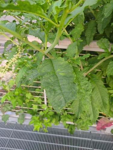
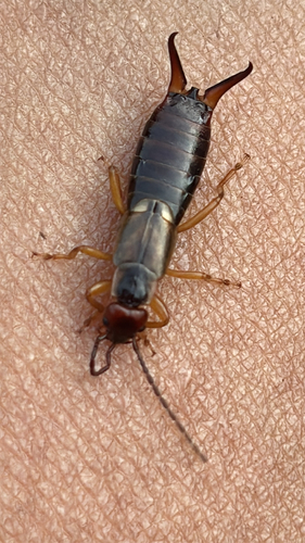
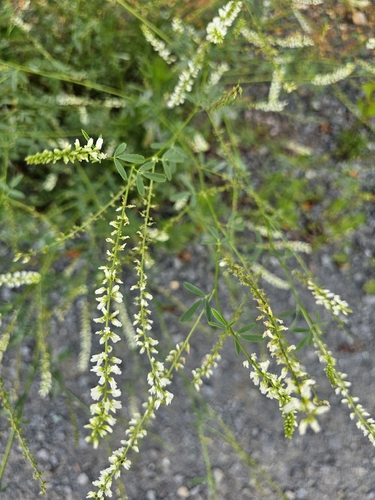
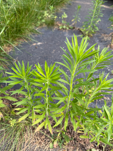
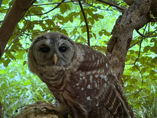
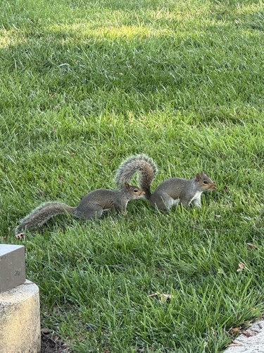
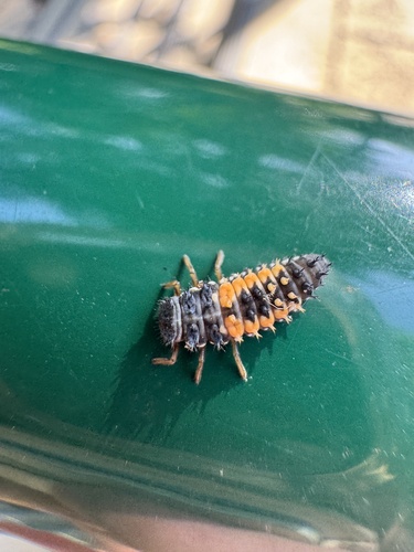
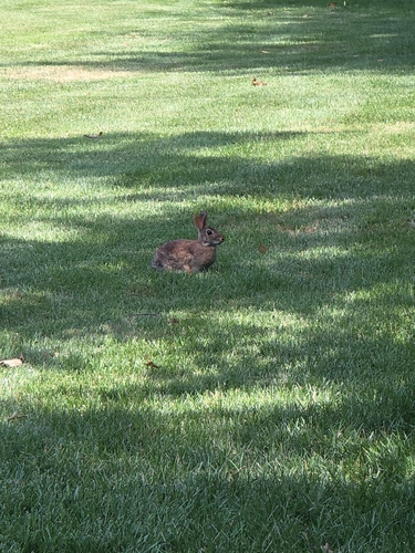
Research-grade observations from iNaturalist (within ~15 mi).
Nearest stream gauge
Live readings from USGS NWIS · measured 2026-06-30 20:25 UTC.
Events
Gallery
Geotagged photos within ~6 miles of Vienna, from Wikimedia Commons contributors.
0.4 mi0.4 mi0.4 mi 0.4 mi
.jpg) 0.4 mi
0.4 mi 0.4 mi
 0.4 mi
 0.4 mi0.5 mi0.5 mi0.5 mi0.5 mi0.5 mi0.5 mi0.5 mi
 0.5 mi0.7 mi0.7 mi
_just_north_of_Virginia_State_Route_243_(Nutley_Street)_in_Vienna,_Fairfax_County,_Virginia.jpg) 0.8 mi
0.8 mi 0.8 mi
_at_Virginia_State_Route_243_(Nutley_Street)_in_Vienna,_Fairfax_County,_Virginia.jpg) 0.9 mi
0.9 mi_at_Courthouse_Road_in_Vienna,_Fairfax_County,_Virginia.jpg) 0.9 mi
0.9 mi_at_Virginia_State_Route_123_(Maple_Avenue)_in_Vienna,_Fairfax_County,_Virginia.jpg) 0.9 mi
0.9 mi 1 mi
1 miPhotos via Wikimedia Commons — see each image page for license & attribution.
Sources
- • Wikipedia
- • US Census Bureau (ACS 5-year estimates)
- • Open-Meteo (ERA5 reanalysis)
- • NOAA National Weather Service
- • Wikimedia Commons
- • Wikidata
- • Open-Meteo Air Quality (CAMS)
- • USGS NWIS (water data)
- • NCES via Urban Institute Education Data Portal
- • GBIF (Global Biodiversity Information Facility)
- • iNaturalist
- • CDC PLACES
- • Open-Elevation
- • Open-Meteo / sunrise-sunset.org
- • Wikipedia Pageviews API
- • Open Library
- • NASA EONET