Browse / Vietnam / Lạng Sơn / Đồng Đăng
Đồng Đăng
Lạng Sơntown

Đồng Đăng
Total population
10,584
Air quality index
Demographic figures from General Statistics Office of Vietnam. Overview below cites Wikipedia and may reference a different year.
City facts
Facts from Wikidata (CC0).
Overview
Đồng Đăng is a commune of Lạng Sơn province in the Northern Midlands and Mountains region of Vietnam.
Read more on WikipediaHistory & geography
History
The area of Đồng Đăng () was inherently deserted. It had only the Tam Thanh temple, Kỳ Lừa market and a small fort to defend the frontier, which was built in the Later Lê Dynasty around the 16th century. Đồng Đăng was once an unexpected land until the Battle of Đồng Đăng occurred, which caused shock of both Guangxi and Tonkin in 1885. In September 1940 a group of Japanese officers, in spite of an agreement signed the 22nd, attacked Đồng Đăng and laid siege to Lam Sơn, beginning the Japanese invasion of French Indochina. In March 1945 the Japanese again attacked, and it was the site of the fiercest fighting of the March coup d'état, when a company of Tonkinese Rifles and a battery of colonial artillery held off the invaders for three days before being massacred. In 1979, the border township became ground for heavy engagements between Chinese and Vietnamese forces during the Sino-Vietnamese War. At 08:13 AM on February 26, 2019, Đồng Đăng Station was honored to be the first place of Vietnam to welcome North Korean leader Kim Jong Un to prepare for the summit with US President Donald Trump in Hanoi. On April 21, 2025, after the dissolution of Cao Lộc Rural District by the Government of Vietnam, according to the Plan for arrangement of the commune-level administrative units in 2025 by the Lạng Sơn Provincial People's Committee, Đồng Đăng Township was officially merged with four communes, Hồng Phong, Phú Xá, Thụy Hùng, and Bảo Lâm, to become a new administrative unit from midnight on May 1: Đồng Đăng commune ().
Geography
Đồng Đăng is best known as a border commune on the Vietnamese side of the main road and rail crossing to China. It is on National Route 1. Đồng Đăng station and the commune capital are several kilometres short of the Friendship Pass border crossing. It is one of three main border crossings with China, the others being Móng Cái–Dongxing, Guangxi to the East on the coast, and Laokay–Hekou, Yunnan, inland 150 km Northwest. A fourth crossing is the Trà Lĩnh District–Longbang, Guangxi crossing. ;From the Middle Ages *Kỳ Lừa market () *Nhị Thanh temple () *Tam Thanh temple () *Tô Thị stone () ;From the 20th century *Friendship Pass () *Đồng Đăng Fort () *Hanoi–Đồng Đăng Railway () *Tien Yen–Lang Son–Cao Bang Expressway ()
Excerpted from the corresponding Wikipedia article (CC BY-SA).
Geography
Coordinates & boundaries from the US Census TIGER/Line shapefiles.
Climate
Air quality
Current readings from Open-Meteo Air Quality API (Copernicus CAMS European reanalysis).
Walkability
Amenities nearby
Wildlife & biodiversity
Most-observed species
- Cinereous TitParus cinereus Vieillot, 1818 · Aves7
- Fork-tailed SunbirdAethopyga christinae Swinhoe, 1869 · Aves4
- Beggar's LiceBidens alba (L.) DC. · Magnoliopsida4
- Red-whiskered BulbulPycnonotus jocosus (Linnaeus, 1758) · Aves3
- Oriental Magpie-RobinCopsychus saularis (Linnaeus, 1758) · Aves3
- White DragontailLamproptera curius (Fabricius, 1787) · Insecta3
- Oriental Honey-buzzardPernis ptilorhynchus (Temminck, 1821) · Aves3
- Black Spotted CicadaGaeana maculata (Drury, 1773) · Insecta3
Citizen-science & research observations from the Global Biodiversity Information Facility (GBIF).
Earthquake history
Events from the USGS Earthquake Catalog (global) (FDSN Event Web Service).
Photos
Sights & places nearby
Notable people from here
Geography & sun
Elevation, sunrise/sunset and daylight from Open-Meteo. Solar climatology from NASA POWER.
Nearby airports
Public attention
Pageview totals from the Wikimedia Pageviews API.
Books about Đồng Đăng
Search results from Open Library.
Recent natural events nearby
Ground air-quality sensors
Recently spotted species
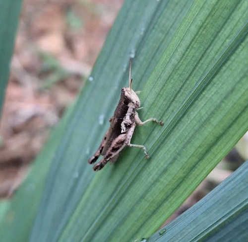
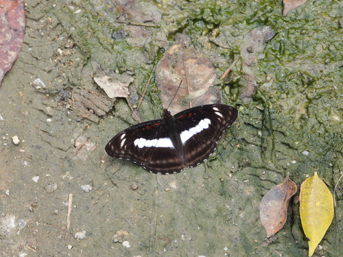
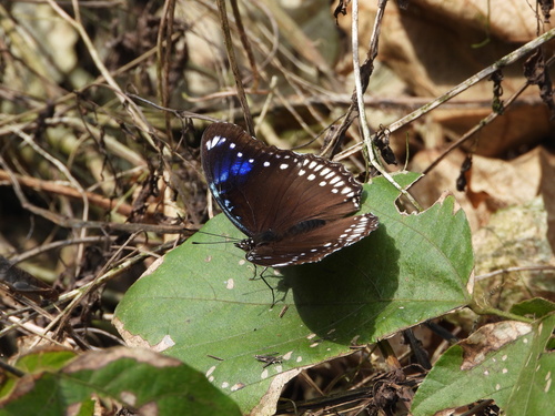
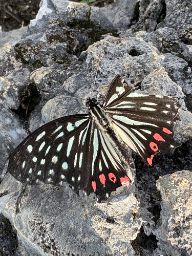
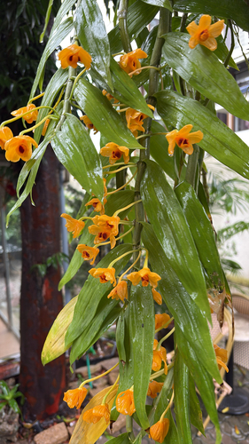
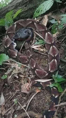
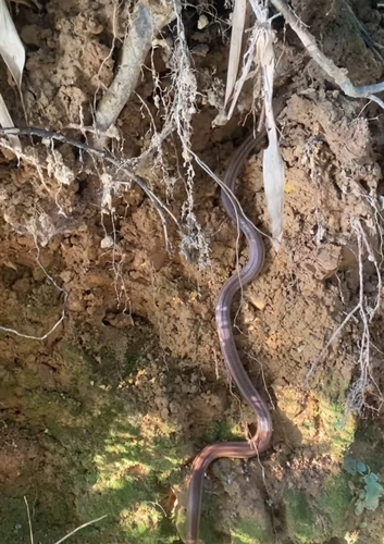
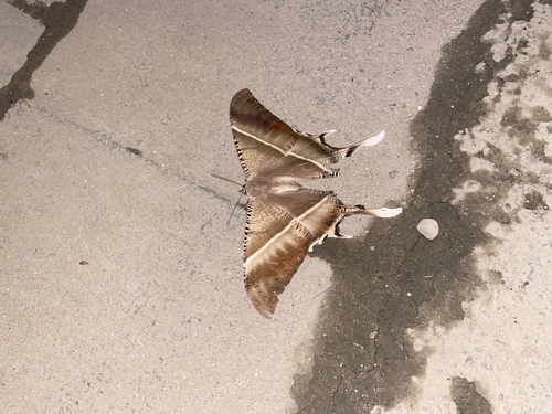
Research-grade observations from iNaturalist (within ~15 mi).
Events
Gallery
Geotagged photos within ~6 miles of Đồng Đăng, from Wikimedia Commons contributors.
.jpg) 0.4 mi
0.4 mi 0.5 mi
.jpg) 0.5 mi
0.5 mi.jpg) 0.5 mi
0.5 mi.jpg) 0.5 mi
0.5 mi 0.5 mi
.jpg) 0.5 mi
0.5 mi 1.6 mi
.jpg) 1.6 mi
1.6 mi 1.7 mi
 1.8 mi
.jpg) 1.8 mi
1.8 mi 1.8 mi
 1.8 mi
 1.8 mi
 1.9 mi
 1.9 mi
 2 mi
2 mi 2 mi
2 mi 2 mi
2 mi.jpg) 2 mi
2 mi 2 mi
2 mi.jpg) 2 mi
2 mi 2 mi
2 miPhotos via Wikimedia Commons — see each image page for license & attribution.
Sources
- • Wikipedia
- • Wikimedia Commons
- • Wikidata
- • Open-Meteo Air Quality (CAMS)
- • USGS Earthquake Catalog (global feed)
- • GBIF (Global Biodiversity Information Facility)
- • iNaturalist
- • Open-Meteo / sunrise-sunset.org
- • Wikipedia Pageviews API
- • Open Library