Browse / Vietnam / Quảng Ninh / Thanh Lân
Thanh Lân
Quảng Ninhvillage
Demographic figures from General Statistics Office of Vietnam. Overview below cites Wikipedia and may reference a different year.
City facts
Overview
Within Quảng Ninh, Vietnam, Thanh Lân stands as a village. Its coordinates of 20.997°, 107.811° place it in the tropical zone of the northern hemisphere. Detailed population figures are not currently catalogued in the open data sources we track. Based on its tropical position, residents likely encounter warm temperatures throughout the year with pronounced wet and dry seasons. Further detail — demographics, climate, nearby amenities and natural-hazard data — is compiled below from public open-data sources.
Summary composed automatically from structured open data on this page. See our Terms for details.
History & geography
Geography
Coordinates & boundaries from the US Census TIGER/Line shapefiles.
Climate
Air quality
Walkability
Amenities nearby
Wildlife & biodiversity
Most-observed species
- catFelis catus Linnaeus, 1758 · Mammalia1
- river mangroveAegiceras corniculatum (L.) Blanco · Magnoliopsida1
Citizen-science & research observations from the Global Biodiversity Information Facility (GBIF).
Earthquake history
Events from the USGS Earthquake Catalog (global) (FDSN Event Web Service).
Photos
Sights & places nearby
Notable people from here
Nearby places in Quảng Ninh
Geography & sun
Nearby airports
Public attention
Books about this place
Recent natural events nearby
- Tropical Storm MaysakSevere Storms · 2026-07-04 · 42 mi
Wildfires, storms and other events from NASA EONET (last 12 months, within 250 mi).
Ground air-quality sensors
Recently spotted species
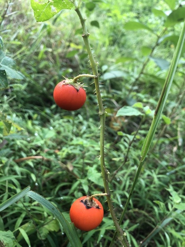

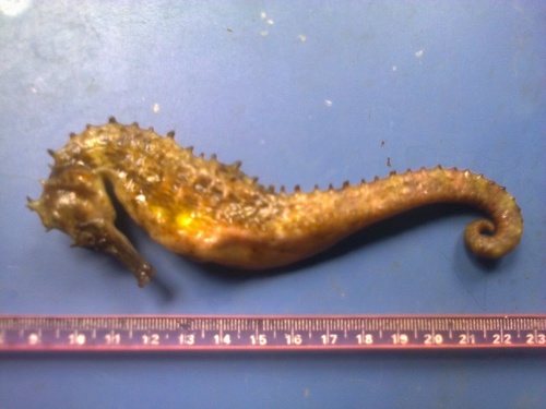
Research-grade observations from iNaturalist (within ~15 mi).
Events
Gallery
Sources
- • Wikidata
- • USGS Earthquake Catalog (global feed)
- • GBIF (Global Biodiversity Information Facility)
- • iNaturalist
- • NASA EONET