Browse / United States / Vermont / Norwich
Norwich
VermontCDP

Norwich
Total population
1,147
Median home value
$697,900
Bachelor's+
Median income
$173,594
Founded
1761
Demographic figures from US Census Bureau · ACS 5-year estimates. Overview below cites Wikipedia and may reference a different year.
- Special Weather Statement · ModerateSpecial Weather Statement issued May 31 at 5:56PM EDT by NWS Burlington VT
Source: NOAA National Weather Service.
City facts
Facts from Wikidata (CC0).
Overview
Norwich is a town in Windsor County, Vermont, United States. The population was 3,612 at the 2020 census. The municipality is a commuter town for nearby Hanover, New Hampshire across the Connecticut River. The town is part of the Dresden School District, the first interstate school district in the United States, signed into law by President John F. Kennedy. The town contains the Norwich Mid-Century Modern Historic District.
Read more on WikipediaHistory & geography
History
The boundaries of Norwich were established on July 4, 1761, when Governor Benning Wentworth of New Hampshire defined the boundaries of townships in Vermont. The first settlers reached the area in 1763 and began to clear the wilderness and erect the first hand-hewn log buildings, wintering over for the first time in 1765. Early settlements occurred along the Ompompanoosuc River. Later, the current village site became settled. The first town meeting occurred in April 1768. The first Congregational church was founded in 1770 and a structure built in 1778. The population grew from 206 in 1771 to 1,158 in 1791 and 2,316 in 1830. In the original charter, the name was spelled "Norwhich", but the additional 'h' was dropped shortly after the town was chartered. Originally pronounced "Norritch" (similar to the English pronunciation of the city of Norwich, England), the town name has in more recent times become more commonly pronounced "Nor-wich". In 1819 native son, Alden Partridge, a former Superintendent of the United States Military Academy at West Point, New York, founded the private "American Literary, Scientific and Military Academy" in Norwich. He hoped to establish a new "American system" for training cadets that included both humanities and science topics in the curriculum, in addition to military science. In his six years of Norwich residency, Partridge achieved an academy population of nearly 500 "cadets". He moved that school back to Middletown, Connecticut, in 1825, but returned in 1835 with a charter from the U.S. Congress to found another military academy, which remained in Norwich until 1866, when it burned to the ground. The school then relocated to Northfield, Vermont, where it exists today as Norwich University.
Geography
Norwich lies on the western bank of the Connecticut River, which forms Vermont's boundary with New Hampshire, opposite its companion town, Hanover, New Hampshire. The Ledyard Bridge connects the two towns. The Vermont towns bordering Norwich are Thetford to the north, Sharon to the west, and Hartford to the south. According to the United States Census Bureau, the town has a total area of , of which is land and , or 0.05%, is water. The Ompompanoosuc River flows into the Connecticut River in the northeastern part of the town. The landscape is hilly and wooded. The elevation of the town center is . The hills in the town include the Griggs Mountain in the southwestern section and the Gile Mountain in the northwestern section.
Excerpted from the corresponding Wikipedia article (CC BY-SA).
Demographics & economy
Race & ethnicity
Source: US Census Bureau — American Community Survey, 5-year estimates.
Geography
Coordinates & boundaries from the US Census TIGER/Line shapefiles.
Climate
Current forecast
Forecast for Norwich, VT from NOAA NWS API.
Air quality
Industrial & pollution facilities
Natural hazard risk
Health (adults)
Age-adjusted prevalence estimates from CDC PLACES (latest release).
Walkability
Amenities nearby
Wildlife & biodiversity
Most-observed species
- American CrowCorvus brachyrhynchos C.L.Brehm, 1822 · Aves28,326
- Black-capped ChickadeePoecile atricapillus (Linnaeus, 1766) · Aves26,329
- Blue JayCyanocitta cristata (Linnaeus, 1758) · Aves23,489
- Northern CardinalCardinalis cardinalis (Linnaeus, 1758) · Aves18,961
- American RobinTurdus migratorius Linnaeus, 1766 · Aves18,379
- American GoldfinchSpinus tristis (Linnaeus, 1758) · Aves18,147
- Song SparrowMelospiza melodia (A.Wilson, 1810) · Aves17,525
- Tufted TitmouseBaeolophus bicolor (Linnaeus, 1766) · Aves15,631
Citizen-science & research observations from the Global Biodiversity Information Facility (GBIF).
Schools
Largest nearby schools
- Hartford High SchoolHigh · White River Junction · 518 students · 10.2:1 ratio
- Marion W. Cross SchoolElementary · Norwich · 351 students · 11:1 ratio
- Hartford Memorial Middle SchoolMiddle · White River Junction · 294 students · 9.5:1 ratio
- Dothan Brook SchoolElementary · White River Junction · 246 students · 10.7:1 ratio
- Ottauquechee SchoolElementary · Quechee · 203 students · 10.2:1 ratio
- White River SchoolElementary · White River Junction · 198 students · 9:1 ratio
- Sharon Elementary SchoolElementary · Sharon · 170 students · 13.1:1 ratio
- Hartford Area Career & Technology CenterHigh · White River Junction
Public K–12 schools within ~10 mi from Urban Institute Education Data Portal (NCES Common Core of Data, 2022).
Earthquake history
Most recent
- M 2.6 — 2024-06-183 km SE of Haverhill, New Hampshire
- M 2.7 — 2023-12-235 km SW of Chichester, New Hampshire
- M 2.9 — 2023-04-254 km SW of Center Sandwich, New Hampshire
- M 2.8 — 2016-03-214 km ESE of Warner, New Hampshire
- M 2.61 — 2013-10-11New Hampshire
- M 2.51 — 2011-07-084 km NE of Newbury, Vermont
Events from the USGS Earthquake Catalog (global) (FDSN Event Web Service).
Photos
Sights & places nearby
Notable people from here


People born within ~10 km, from Wikidata (CC0). Click any name for their Wikipedia article.
Nearby places in Vermont
- Wilder2.9 mi away · pop. 3,634
- Hartford Village3.9 mi away · pop. 479
- White River Junction4.8 mi away · pop. 2,766
- Quechee7.6 mi away · pop. 340
- North Hartland8.8 mi away · pop. 416
- South Royalton12 mi away · pop. 475
- Woodstock12.3 mi away · pop. 1,033
- Hartland13 mi away · pop. 625
- Fairlee14.2 mi away · pop. 119
- West Woodstock14.4 mi away · pop. 397
- South Woodstock15.5 mi away · pop. 24
- Windsor17 mi away · pop. 2,138
Geography & sun
Elevation, sunrise/sunset and daylight from Open-Meteo. Solar climatology from NASA POWER.
Nearby airports
Public attention
Pageview totals from the Wikimedia Pageviews API.
Books about Norwich


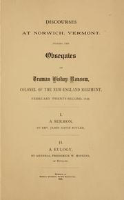

Search results from Open Library.
Recent natural events nearby
Ground air-quality sensors
Recently spotted species
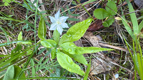
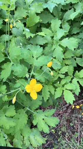
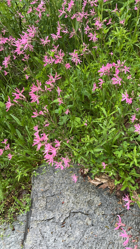
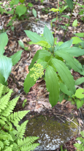
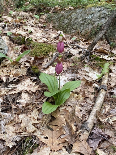
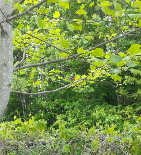
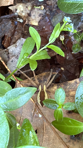
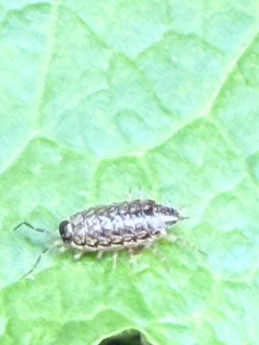
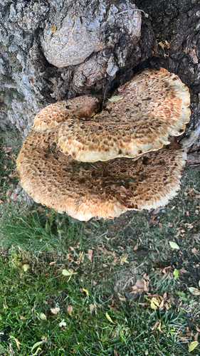
Research-grade observations from iNaturalist (within ~15 mi).
Nearest stream gauge
Live readings from USGS NWIS · measured 2026-05-31 16:30 UTC.
Events
Gallery
Geotagged photos within ~6 miles of Norwich, from Wikimedia Commons contributors.
 0.3 mi
 0.3 mi
 0.3 mi
 0.3 mi
 0.3 mi
 0.3 mi
 0.3 mi
 0.3 mi
 0.3 mi
 0.3 mi
 0.3 mi
 0.3 mi
 0.4 mi
 0.4 mi
 0.4 mi
 0.5 mi
 0.7 mi
 0.7 mi
 0.7 mi
 0.7 mi
.jpg) 1 mi
1 mi.jpg) 1 mi
1 mi 1 mi
1 mi 1 mi
1 miPhotos via Wikimedia Commons — see each image page for license & attribution.
Sources
- • Wikipedia
- • US Census Bureau (ACS 5-year estimates)
- • NOAA National Weather Service
- • Wikimedia Commons
- • Wikidata
- • USGS Earthquake Catalog (global feed)
- • USGS NWIS (water data)
- • NCES via Urban Institute Education Data Portal
- • GBIF (Global Biodiversity Information Facility)
- • iNaturalist
- • CDC PLACES
- • Open-Meteo / sunrise-sunset.org
- • Wikipedia Pageviews API
- • Open Library
- • Wikidata SPARQL (CC0) — population, area, elevation, inception, head of government, Commons image