Browse / United States / Vermont / White River Junction
White River Junction
VermontCDP

White River Junction
Total population
3,364
Median home value
$278,800
Bachelor's+
Median income
$77,168
Air quality index
Demographic figures from US Census Bureau · ACS 5-year estimates. Overview below cites Wikipedia and may reference a different year.
City facts
Facts from Wikidata (CC0).
Overview
White River Junction is an unincorporated village and census-designated place (CDP) in the town of Hartford in Windsor County, Vermont, United States. The population was 2,528 at the 2020 census, up from 2,286 in 2010, making it the largest community within the town of Hartford.
Read more on WikipediaHistory & geography
History
The village has long had a role in transportation, primarily as a railroad junction. From the arrival of the first railroads in the late 1840s until rail diminished in importance in the 1950s and 1960s, White River Junction was the most important railroad community in Vermont. Its original importance was due to its location at the confluence of the White River with the Connecticut River. In 1803 Elias Lyman built a bridge across the Connecticut from the north bank of the White River to West Lebanon, New Hampshire. The local population remained quite low until the arrival of the railroad in the 1840s. Five different railroad lines were laid through the village site between 1847 and 1863 (the Vermont Central Railway and Connecticut River Railroad in 1847, the Connecticut and Passumpsic Rivers Railroad in 1848, the Northern New Hampshire Railroad in 1849, and the Woodstock Railroad in 1863), creating an eight-track crossing that was served by 50 passenger trains daily. In 1849, the village's first railroad depot was built, and local farmer Samuel Nutt arranged to buy and dismantle a hotel in Enfield, New Hampshire, and move it to his farm on the other side of the railroad tracks from the depot. His hotel, named the Junction House, was the first of three hotels to occupy the site, which now is home to the Coolidge Hotel, built in 1924. White River Junction hosted the annual Vermont State Fair from the mid-19th century until the mid-20th century. A special rail spur carried visitors uphill from the station to the fairgrounds.
Geography
According to the United States Census Bureau, the village has a total area of 1.7 square miles (4.4 km2), of which 1.6 square miles (4.3 km2) is land and 0.1 square miles (0.1 km2) (2.94%) is water. The village takes its name from the White River, which joins with the Connecticut River there. The village is only a five-minute drive from Hanover, New Hampshire, which hosts Dartmouth College and nearly equidistant from major cities and towns such as Rutland, Montpelier, St. Johnsbury, Brattleboro, Keene, and Concord.
Excerpted from the corresponding Wikipedia article (CC BY-SA).
Demographics & economy
Race & ethnicity
Source: US Census Bureau — American Community Survey, 5-year estimates.
Geography
Coordinates & boundaries from the US Census TIGER/Line shapefiles.
Climate
10-year averages from ERA5 reanalysis (Open-Meteo).
Current forecast
Forecast for White River Junction, VT from NOAA NWS API.
Air quality
Current readings from Open-Meteo Air Quality API (Copernicus CAMS European reanalysis).
Industrial & pollution facilities
Natural hazard risk
Health (adults)
Age-adjusted prevalence estimates from CDC PLACES (latest release).
Walkability
Amenities nearby
Wildlife & biodiversity
Most-observed species
- American CrowCorvus brachyrhynchos C.L.Brehm, 1822 · Aves26,058
- Black-capped ChickadeePoecile atricapillus (Linnaeus, 1766) · Aves25,550
- Blue JayCyanocitta cristata (Linnaeus, 1758) · Aves21,623
- Northern CardinalCardinalis cardinalis (Linnaeus, 1758) · Aves18,095
- American GoldfinchSpinus tristis (Linnaeus, 1758) · Aves17,733
- American RobinTurdus migratorius Linnaeus, 1766 · Aves16,631
- Song SparrowMelospiza melodia (A.Wilson, 1810) · Aves15,835
- Tufted TitmouseBaeolophus bicolor (Linnaeus, 1766) · Aves15,206
Citizen-science & research observations from the Global Biodiversity Information Facility (GBIF).
Schools
Largest nearby schools
- Hartford High SchoolHigh · White River Junction · 518 students · 10.2:1 ratio
- Marion W. Cross SchoolElementary · Norwich · 351 students · 11:1 ratio
- Hartford Memorial Middle SchoolMiddle · White River Junction · 294 students · 9.5:1 ratio
- Hartland Elementary SchoolElementary · Hartland · 281 students · 12.2:1 ratio
- Woodstock Elementary SchoolElementary · Woodstock · 269 students · 12.2:1 ratio
- Dothan Brook SchoolElementary · White River Junction · 246 students · 10.7:1 ratio
- Ottauquechee SchoolElementary · Quechee · 203 students · 10.2:1 ratio
- White River SchoolElementary · White River Junction · 198 students · 9:1 ratio
Public K–12 schools within ~10 mi from Urban Institute Education Data Portal (NCES Common Core of Data, 2022).
Earthquake history
Most recent
- M 2.6 — 2024-06-183 km SE of Haverhill, New Hampshire
- M 2.7 — 2023-12-235 km SW of Chichester, New Hampshire
- M 2.9 — 2023-04-254 km SW of Center Sandwich, New Hampshire
- M 2.8 — 2016-03-214 km ESE of Warner, New Hampshire
- M 2.61 — 2013-10-11New Hampshire
- M 2.51 — 2011-07-084 km NE of Newbury, Vermont
Events from the USGS Earthquake Catalog (global) (FDSN Event Web Service).
Photos
Sights & places nearby
Notable people from here
Nearby places in Vermont
- Hartford Village1.2 mi away · pop. 479
- Wilder2 mi away · pop. 3,634
- North Hartland4 mi away · pop. 416
- Quechee4.5 mi away · pop. 340
- Norwich4.8 mi away · pop. 1,147
- Hartland8.2 mi away · pop. 625
- Woodstock9.4 mi away · pop. 1,033
- West Woodstock11.5 mi away · pop. 397
- South Woodstock11.7 mi away · pop. 24
- Windsor12.2 mi away · pop. 2,138
- South Royalton14.2 mi away · pop. 475
- Ascutney17.1 mi away · pop. 381
Geography & sun
Elevation, sunrise/sunset and daylight from Open-Meteo. Solar climatology from NASA POWER.
Nearby airports
Public attention
Pageview totals from the Wikimedia Pageviews API.
Books about White River Junction
Search results from Open Library.
Recent natural events nearby
Ground air-quality sensors
Recently spotted species
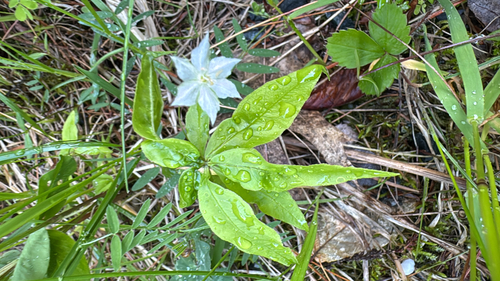
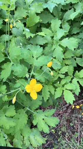
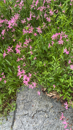
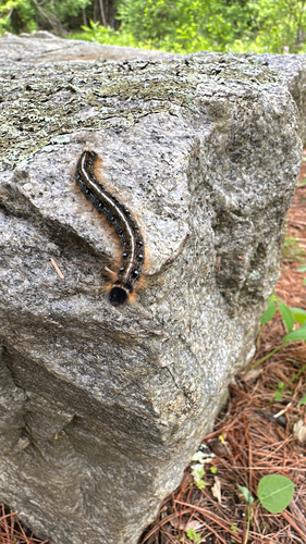
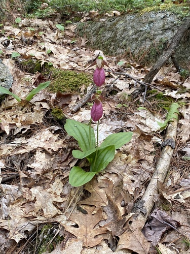
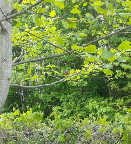
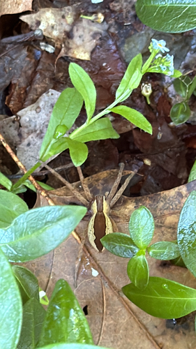
Research-grade observations from iNaturalist (within ~15 mi).
Nearest stream gauge
Live readings from USGS NWIS · measured 2026-05-31 23:30 UTC.
Events
Gallery
Geotagged photos within ~6 miles of White River Junction, from Wikimedia Commons contributors.
 0.2 mi
 0.2 mi
.jpg) 0.3 mi
0.3 mi.jpg) 0.5 mi
0.5 mi 0.5 mi
 0.5 mi
 0.5 mi
 0.5 mi
 0.5 mi
 0.5 mi
 0.5 mi
 0.6 mi
 0.6 mi
.jpg) 0.6 mi
0.6 mi 0.6 mi
 0.6 mi
 0.6 mi
 0.6 mi
 0.6 mi
 0.6 mi
 0.6 mi
 0.6 mi
 0.6 mi
 0.6 mi
Photos via Wikimedia Commons — see each image page for license & attribution.
Sources
- • Wikipedia
- • US Census Bureau (ACS 5-year estimates)
- • Open-Meteo (ERA5 reanalysis)
- • NOAA National Weather Service
- • Wikimedia Commons
- • Wikidata
- • Open-Meteo Air Quality (CAMS)
- • USGS Earthquake Catalog (global feed)
- • USGS NWIS (water data)
- • NCES via Urban Institute Education Data Portal
- • GBIF (Global Biodiversity Information Facility)
- • iNaturalist
- • CDC PLACES
- • Open-Meteo / sunrise-sunset.org
- • Wikipedia Pageviews API
- • Open Library
- • Wikidata SPARQL (CC0) — population, area, elevation, inception, head of government, Commons image