Browse / United States / Washington / Alderwood Manor
Alderwood Manor
WashingtonCDP

Alderwood Manor
Total population
10,266
Median home value
$700,900
Bachelor's+
Median income
$105,181
Air quality index
Demographic figures from US Census Bureau · ACS 5-year estimates. Overview below cites Wikipedia and may reference a different year.
City facts
Facts from Wikidata (CC0).
Overview
Alderwood Manor is a census-designated place (CDP) in Snohomish County, Washington, United States. The population was 10,198 at the 2020 census. Prior to the 2000 census, Alderwood Manor was counted as part of the Alderwood Manor-Bothell North CDP.
Read more on WikipediaHistory & geography
History
Alderwood Manor was a community that is now the cities of Lynnwood, Brier, and Mountlake Terrace. Alderwood Manor was a farming community where most residents raised chickens. Alderwood Manor was connected to Everett and Seattle by the Seattle-Everett Interurban Railway. Most signs of Alderwood have since disappeared but in 2004 Lynnwood's Heritage Park opened. The Heritage Park has some old buildings of the Lynnwood area, such as The Wickers Building, which served as Alderwood's main store and post office from 1919 to the 1960s. Other buildings included Car 55 of the interurban. In 1979 Lynnwood's largest tourist attraction, the Alderwood Mall was built. The only Alderwood Manor building still in the same place as when it was built is the old Masonic Temple. The Manor Hardware building (originally used as a schoolhouse in the early 1900s, but which had been vacant for many years) was demolished in 2015. Both locations are just off of 196th St SW in Lynnwood. Some private homes still stand in the area as well.
Geography
According to the United States Census Bureau, the CDP has a total area of 1.9 square miles (4.9 km2). Parts of Alderwood Manor lie in the Lynnwood MUGA (Municipal Urban Growth Area). Depending on location, buildings in Alderwood Manor may use either Lynnwood, Bothell, or Brier mailing addresses.
Excerpted from the corresponding Wikipedia article (CC BY-SA).
Demographics & economy
Race & ethnicity
Source: US Census Bureau — American Community Survey, 5-year estimates.
Geography
Coordinates & boundaries from the US Census TIGER/Line shapefiles.
Climate
Current forecast
Forecast for Alderwood Manor, WA from NOAA NWS API.
Air quality
Current readings from Open-Meteo Air Quality API (Copernicus CAMS European reanalysis).
Industrial & pollution facilities
Natural hazard risk
Health (adults)
Age-adjusted prevalence estimates from CDC PLACES (latest release).
Walkability
Amenities nearby
Wildlife & biodiversity
Most-observed species
- American CrowCorvus brachyrhynchos C.L.Brehm, 1822 · Aves121,223
- Dark-eyed JuncoJunco hyemalis (Linnaeus, 1758) · Aves94,300
- Black-capped ChickadeePoecile atricapillus (Linnaeus, 1766) · Aves90,766
- Song SparrowMelospiza melodia (A.Wilson, 1810) · Aves87,212
- American RobinTurdus migratorius Linnaeus, 1766 · Aves78,688
- Anna's HummingbirdCalypte anna (R.Lesson, 1829) · Aves71,820
- Spotted TowheePipilo maculatus Swainson, 1827 · Aves68,260
- House FinchHaemorhous mexicanus (P.L.Statius Müller, 1776) · Aves60,013
Citizen-science & research observations from the Global Biodiversity Information Facility (GBIF).
Schools
Largest nearby schools
- Kamiak High SchoolHigh · Mukilteo · 2,250 students · 24.2:1 ratio
- Henry M. Jackson High SchoolHigh · Mill Creek · 2,155 students · 23.4:1 ratio
- Mariner High SchoolHigh · Everett · 2,090 students · 19.9:1 ratio
- Cascade High SchoolHigh · Everett · 1,793 students · 21.6:1 ratio
- North Creek High SchoolHigh · Bothell · 1,781 students · 20.7:1 ratio
- Glacier Peak High SchoolHigh · Snohomish · 1,630 students · 24.7:1 ratio
- Edmonds Woodway High SchoolHigh · EDMONDS · 1,547 students · 22.1:1 ratio
- Meadowdale High SchoolHigh · LYNNWOOD · 1,512 students · 21.6:1 ratio
Public K–12 schools within ~10 mi from Urban Institute Education Data Portal (NCES Common Core of Data, 2022).
Earthquake history
Most recent
- M 4.15 — 2026-09-296 km WNW of Wauna, Washington
- M 2.56 — 2026-09-122 km ENE of Mount Vernon, Washington
- M 2.51 — 2026-08-0911 km SSW of River Road, Washington
- M 3.8 — 2026-07-022 km E of Oak Harbor, Washington
- M 2.5 — 2026-06-2611 km E of Carnation, Washington
- M 2.87 — 2026-06-082 km ESE of Oak Harbor, Washington
Events from the USGS Earthquake Catalog (global) (FDSN Event Web Service).
Photos
Sights & places nearby
Notable people from here


People born within ~10 km, from Wikidata (CC0). Click any name for their Wikipedia article.
Nearby places in Washington
- Brier1.6 mi away · pop. 6,545
- Mountlake Terrace2.2 mi away · pop. 21,286
- Martha Lake2.6 mi away · pop. 22,634
- Mill Creek East4 mi away · pop. 25,453
- Kenmore4.6 mi away · pop. 23,741
- Picnic Point4.7 mi away · pop. 10,261
- Clearview5.8 mi away · pop. 3,254
- Woodway5.9 mi away · pop. 1,251
- Mukilteo7 mi away · pop. 21,323
- Maltby7.5 mi away
- Clyde Hill12.9 mi away · pop. 3,119
- Medina13 mi away · pop. 2,928
Geography & sun
Elevation, sunrise/sunset and daylight from Open-Meteo. Solar climatology from NASA POWER.
Nearby airports
Public attention
Pageview totals from the Wikimedia Pageviews API.
Books about this place
Recent natural events nearby
- Wildfire KING, Kittitas, WashingtonWildfires · 2026-08-19 · 53 mi
- Wildfire GOAT, Kittitas, WashingtonWildfires · 2026-08-22 · 62 mi
- Wildfire Electric, Whatcom, WashingtonWildfires · 2026-08-22 · 69 mi
- Wildfire Thunder Creek, Skagit, WashingtonWildfires · 2026-08-22 · 76 mi
- Wildfire SISI, Chelan, WashingtonWildfires · 2026-08-14 · 76 mi
- Wildfire Colwash, Yakima, WashingtonWildfires · 2026-08-22 · 150 mi
- Wildfire SECOND STREET, Benton, WashingtonWildfires · 2026-09-25 · 170 mi
- Wildfire MITRE ROCK, Stevens, WashingtonWildfires · 2026-08-01 · 183 mi
Wildfires, storms and other events from NASA EONET (last 12 months, within 250 mi).
Ground air-quality sensors
Recently spotted species
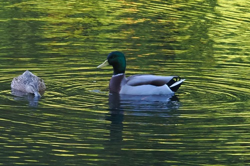
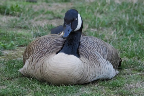
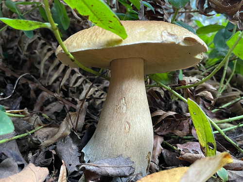
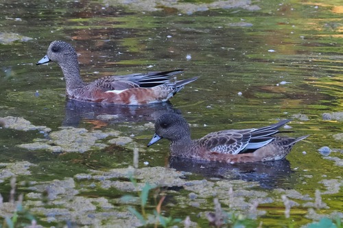
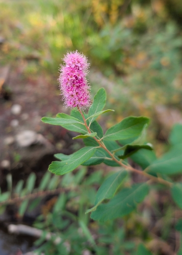
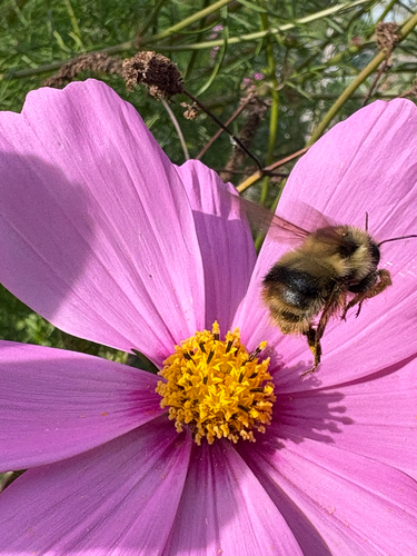
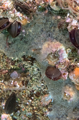
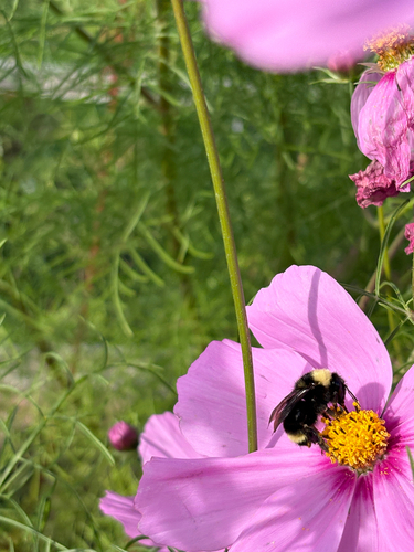
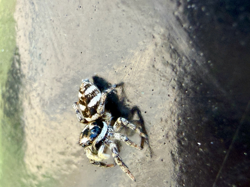
Research-grade observations from iNaturalist (within ~15 mi).
Nearest stream gauge
Live readings from USGS NWIS · measured 2026-10-07 08:15 UTC.
Events
Gallery
Sources
- • Wikipedia
- • US Census Bureau (ACS 5-year estimates)
- • NOAA National Weather Service
- • Wikidata
- • Open-Meteo Air Quality (CAMS)
- • USGS Earthquake Catalog (global feed)
- • USGS NWIS (water data)
- • NCES via Urban Institute Education Data Portal
- • GBIF (Global Biodiversity Information Facility)
- • iNaturalist
- • CDC PLACES
- • Open-Meteo / sunrise-sunset.org
- • Wikipedia Pageviews API
- • NASA EONET