Browse / United States / Washington / Kenmore
Kenmore
Washingtoncity

Kenmore
Total population
23,741
Median home value
$920,800
Bachelor's+
Median income
$139,764
Founded
1998
Demographic figures from US Census Bureau · ACS 5-year estimates. Overview below cites Wikipedia and may reference a different year.
City facts
Facts from Wikidata (CC0).
Overview
Kenmore is a city in King County, Washington, United States, along the northernmost shore of Lake Washington. It is a suburban commuter town at the mouth of the Sammamish River, 12 miles (19 km) northeast of downtown Seattle and 2 miles (3.2 km) west of Bothell. The population was 23,914 at the 2020 census. Kenmore Air Harbor is the largest seaplane-only passenger facility of its kind in the United States.
Read more on WikipediaHistory & geography
History
The Sammamish River valley from Lake Washington to Issaquah Creek was historically inhabited by the indigenous Sammamish people (also known as the "s-tah-PAHBSH", or "willow people"), a Coast Salish group with an estimated population of 80 to 200 by 1850. Among them were the "ssts'p-abc" ("meander dwellers"), who settled near the river's mouth at two villages—the larger of which was "tlah-WAH-dees" between modern-day Kenmore and Bothell. The Sammamish were removed from their lands in 1856 following the Puget Sound War and moved to the Port Madison and Tulalip Indian reservations. Scotsman John McMasters and his wife Annie arrived in Puget Sound in May 1889 from Kenmore, Ontario, intending to establish themselves in the shingle-making trade. McMasters and his business partner, Chris Kruse, leased land from Squire and opened a shingle mill on the northeastern shore of Lake Washington on January 1, 1901. Establishing a company town alongside the mill for his employees, McMasters named it after his earlier hometown in Canada, which in turn was named after the village in Scotland, registering the name with the state on January 10. By 1903, Kenmore had established a school system and post office, with McMasters named the first postmaster for the latter. Despite cargo railway service passing through the area as early as 1887 via the Seattle, Lake Shore and Eastern Railway, most access to the city in its early days was by boat, with regular ferry service to Seattle, Bothell, and Woodinville starting in 1906. The city later gained a passenger railroad stop. The first improved road connection to Seattle and Bothell—the Red Brick Road—opened between 1913 and 1914, with bus service following the laying of the bricks. As a result, Kenmore became a country retreat for…
Geography
Kenmore has borders encompassing all of the north shore and a significant portion of the northeastern shore of Lake Washington. The local terrain is typical of the Puget Sound lowlands, consisting largely of rolling hills formed from glacial till, occasionally interrupted by flatlands typically found near substantial bodies of water. The largest river is the Sammamish, which connects Lake Sammamish to Lake Washington, and divides the city into northern and southern halves. Additionally, the northeastern corner of the city includes a narrow set of swamps and marshlands running north to south along Swamp Creek. The city has a total area of , of which, is land and is water. The climate of Kenmore is substantially similar to that of nearby Seattle, being defined principally by its latitude, proximity to the Pacific Ocean and Puget Sound, and inclusion in the Puget Sound Convergence Zone. As such, it is usually considered Marine west coast in nature, with damp, cool winters, and mild, dry summers, despite being further north than cities such as Toronto, Ontario and Montreal, Quebec. Kenmore has several distinct neighborhoods. These include: * Arrowhead, in southern Kenmore, on the west (or lake) side, saw its first house built in 1888. This was a small summer cabin; the oldest house still standing dates from 1929. * Inglewood, in southern Kenmore, was first platted in 1953, with large-scale suburban development appearing by 1962. * Lower Moorlands, in eastern Kenmore, saw its first house in 1904. The significant development occurring in this area after World War I included the 1927 landmark Charles and Elvera Thomsen House. * Upper Moorlands, also in eastern Kenmore, saw initial building in 1938-1939 but stayed quite rural due to the lack of a good water system until…
Excerpted from the corresponding Wikipedia article (CC BY-SA).
Demographics & economy
Race & ethnicity
Source: US Census Bureau — American Community Survey, 5-year estimates.
Geography
Coordinates & boundaries from the US Census TIGER/Line shapefiles.
Climate
Current forecast
Forecast for Kenmore, WA from NOAA NWS API.
Air quality
Industrial & pollution facilities
Natural hazard risk
Health (adults)
Walkability
Amenities nearby
Wildlife & biodiversity
Most-observed species
- American CrowCorvus brachyrhynchos C.L.Brehm, 1822 · Aves173,745
- Black-capped ChickadeePoecile atricapillus (Linnaeus, 1766) · Aves132,858
- Dark-eyed JuncoJunco hyemalis (Linnaeus, 1758) · Aves132,851
- Song SparrowMelospiza melodia (A.Wilson, 1810) · Aves127,901
- American RobinTurdus migratorius Linnaeus, 1766 · Aves116,508
- Anna's HummingbirdCalypte anna (R.Lesson, 1829) · Aves106,901
- Spotted TowheePipilo maculatus Swainson, 1827 · Aves98,445
- House FinchHaemorhous mexicanus (P.L.Statius Müller, 1776) · Aves89,033
Citizen-science & research observations from the Global Biodiversity Information Facility (GBIF).
Schools
Earthquake history
Most recent
- M 2.56 — 2026-09-122 km E of Mount Vernon, Washington
- M 2.51 — 2026-08-0911 km SSW of River Road, Washington
- M 3.8 — 2026-07-022 km E of Oak Harbor, Washington
- M 2.5 — 2026-06-2611 km E of Carnation, Washington
- M 2.82 — 2026-06-261 km SSE of Easton, Washington
- M 2.87 — 2026-06-082 km ESE of Oak Harbor, Washington
Events from the USGS Earthquake Catalog (global) (FDSN Event Web Service).
Photos
Sights & places nearby
Notable people from here


People born within ~10 km, from Wikidata (CC0). Click any name for their Wikipedia article.
Nearby places in Washington
- Mountlake Terrace4 mi away · pop. 21,286
- Alderwood Manor4.6 mi away
- Bothell East4.9 mi away
- Martha Lake6.6 mi away
- Mill Creek East6.6 mi away
- Woodway7 mi away · pop. 1,251
- Clearview7.2 mi away · pop. 3,254
- Hunts Point7.4 mi away
- Maltby7.5 mi away
- Cottage Lake8 mi away
- Mill Creek8.1 mi away · pop. 20,926
- Clyde Hill8.4 mi away · pop. 3,119
Geography & sun
Elevation, sunrise/sunset and daylight from Open-Meteo. Solar climatology from NASA POWER.
Nearby airports
Public attention
Pageview totals from the Wikimedia Pageviews API.
Books about Kenmore


Search results from Open Library.
Recent natural events nearby
- Wildfire KING, Kittitas, WashingtonWildfires · 2026-08-19 · 50 mi
- Wildfire GOAT, Kittitas, WashingtonWildfires · 2026-08-22 · 59 mi
- Wildfire Electric, Whatcom, WashingtonWildfires · 2026-08-22 · 73 mi
- Wildfire SISI, Chelan, WashingtonWildfires · 2026-08-14 · 77 mi
- Wildfire Thunder Creek, Skagit, WashingtonWildfires · 2026-08-22 · 79 mi
- Wildfire Colwash, Yakima, WashingtonWildfires · 2026-08-22 · 146 mi
- Wildfire SECOND STREET, Benton, WashingtonWildfires · 2026-09-25 · 167 mi
- Wildfire MITRE ROCK, Stevens, WashingtonWildfires · 2026-08-01 · 182 mi
Wildfires, storms and other events from NASA EONET (last 12 months, within 250 mi).
Ground air-quality sensors
Recently spotted species
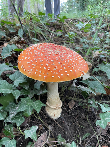
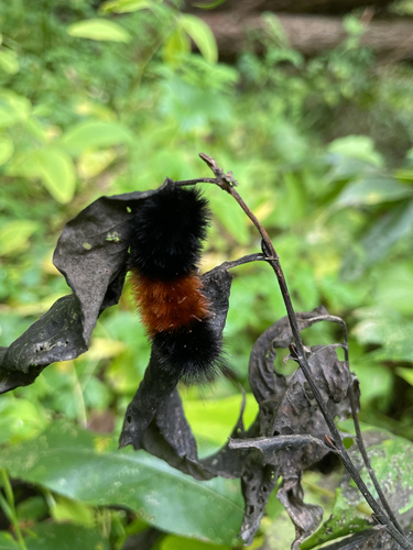
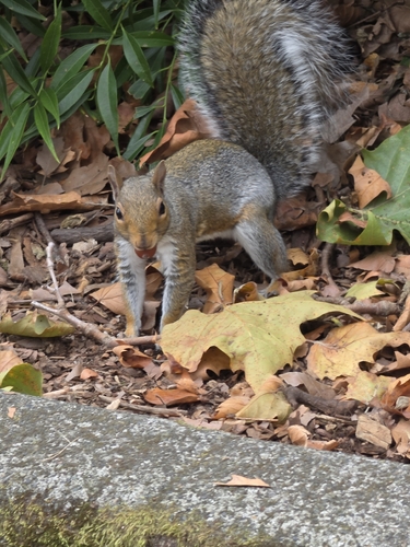
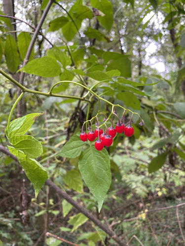
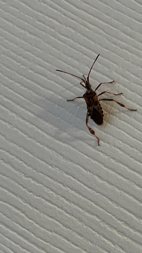
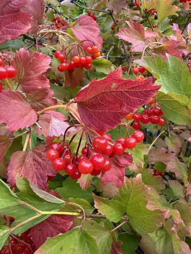
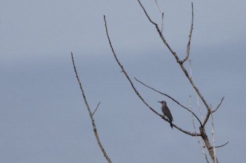
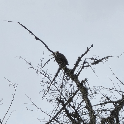
Research-grade observations from iNaturalist (within ~15 mi).
Nearest stream gauge
Events
Gallery
Sources
- • Wikipedia
- • US Census Bureau (ACS 5-year estimates)
- • NOAA National Weather Service
- • Wikidata
- • USGS Earthquake Catalog (global feed)
- • GBIF (Global Biodiversity Information Facility)
- • iNaturalist
- • Open-Meteo / sunrise-sunset.org
- • Wikipedia Pageviews API
- • Open Library
- • NASA EONET