Browse / United States / Washington / Birch Bay
Birch Bay
WashingtonCDP

Birch Bay
Total population
10,837
Demographic figures from US Census Bureau · ACS 5-year estimates. Overview below cites Wikipedia and may reference a different year.
City facts
Facts from Wikidata (CC0).
Overview
Birch Bay is a census-designated place (CDP) along the shore of the bay named Birch Bay in Whatcom County, Washington, United States. The population was 8,413 at the 2010 census, a 69.6% increase over the 4,961 individuals in the 2000 census. As of the 2020 census, the population was 10,115.
Read more on WikipediaHistory & geography
History
Local indigenous communities named this place Say-wak, meaning "people saved from a flood by building a raft." Captains of Spanish ships from Acapulco and San Blas (Spanish west coast ports in Mexico) were in this area in 1791 and 1792 and named it Puerto del Garzon in 1791 by captain Jose Maria Narvaez. It was then renamed Birch Bay in 1792 by Archibald Menzies, a member of the Vancouver Expedition. Vancouver's two ships used Birch Bay as an anchorage for several days. Menzies noted a number of species of birch and gave the name to the bay. In the 2000s, the development of condominiums and vacation homes became more prominent in Birch Bay due to high demand from wealthier clientele in the United States and Canada. A proposal to incorporate the community as a city was announced in 2023 following earlier attempts and discussion. By 2020, Birch Bay had grown to approximately 10,000 people, making it larger than all but three cities in Whatcom County.
Geography
Birch Bay is on the Salish Sea in northwestern Whatcom County, about south of the Canada–United States border and from Vancouver, British Columbia. The community that surrounds the bay is connected by State Route 548, a short highway that runs between two interchanges on Interstate 5 near Ferndale and in Blaine. According to the United States Census Bureau, the CDP has a total area of , of which, of it is land and of it (25.45%) is water. Birch Bay is a headland bay created by the refraction of incoming waves on the headlands that lie on either side of the bay. The headland to the north is Birch Point, and the one to the south is Point Whitehorn. The waves bend as they enter the bay and lose energy in the process. The result is a half-moon-shaped bay with a gentle sloping beach. The shoreline has been modified in past years by the implementation of perpendicular structures called groins, and riprap. Terrell Creek runs parallel along a section of the beach, eventually flowing into the bay.
Excerpted from the corresponding Wikipedia article (CC BY-SA).
Demographics & economy
Geography
Coordinates & boundaries from the US Census TIGER/Line shapefiles.
Climate
Current forecast
Forecast for Birch Bay, WA from NOAA NWS API.
Air quality
Industrial & pollution facilities
Natural hazard risk
Health (adults)
Walkability
Amenities nearby
Wildlife & biodiversity
Most-observed species
- American CrowCorvus brachyrhynchos C.L.Brehm, 1822 · Aves20,322
- Song SparrowMelospiza melodia (A.Wilson, 1810) · Aves18,465
- Black-capped ChickadeePoecile atricapillus (Linnaeus, 1766) · Aves16,463
- MallardAnas platyrhynchos Linnaeus, 1758 · Aves15,367
- Glaucous-winged GullLarus glaucescens J.F.Naumann, 1840 · Aves15,134
- American RobinTurdus migratorius Linnaeus, 1766 · Aves14,588
- Spotted TowheePipilo maculatus Swainson, 1827 · Aves14,333
- Bald EagleHaliaeetus leucocephalus (Linnaeus, 1766) · Aves13,644
Citizen-science & research observations from the Global Biodiversity Information Facility (GBIF).
Schools
Earthquake history
Most recent
- M 2.56 — 2026-09-122 km ENE of Mount Vernon, Washington
- M 3.8 — 2026-07-022 km E of Oak Harbor, Washington
- M 2.87 — 2026-06-082 km ESE of Oak Harbor, Washington
- M 2.56 — 2026-05-297 km ENE of Ferndale, Washington
- M 2.54 — 2026-05-074 km WSW of Concrete, Washington
- M 2.7 — 2026-04-275 km N of Anacortes, Washington
Events from the USGS Earthquake Catalog (global) (FDSN Event Web Service).
Photos
Sights & places nearby
Notable people from here
People born within ~10 km, from Wikidata (CC0). Click any name for their Wikipedia article.
Nearby places in Washington
- Blaine4.4 mi away · pop. 6,100
- Ferndale8.6 mi away · pop. 15,999
- Peaceful Valley27.2 mi away
- Roche Harbor28 mi away · pop. 778
- Friday Harbor29.7 mi away
- Maple Falls29.7 mi away
- Bay View32.8 mi away · pop. 572
- Sedro-Woolley36.8 mi away
- Whidbey Island Station39.9 mi away · pop. 2,027
- Northwest Stanwood49.1 mi away · pop. 72
- Concrete52.6 mi away · pop. 833
- Port Townsend55.4 mi away · pop. 10,438
Geography & sun
Elevation, sunrise/sunset and daylight from Open-Meteo. Solar climatology from NASA POWER.
Nearby airports
Public attention
Pageview totals from the Wikimedia Pageviews API.
Books about Birch Bay
Search results from Open Library.
Recent natural events nearby
- Wildfire Electric, Whatcom, WashingtonWildfires · 2026-08-22 · 63 mi
- Wildfire Thunder Creek, Skagit, WashingtonWildfires · 2026-08-22 · 82 mi
- Wildfire SISI, Chelan, WashingtonWildfires · 2026-08-14 · 96 mi
- Wildfire KING, Kittitas, WashingtonWildfires · 2026-08-19 · 122 mi
- Wildfire GOAT, Kittitas, WashingtonWildfires · 2026-08-22 · 128 mi
- Wildfire MITRE ROCK, Stevens, WashingtonWildfires · 2026-08-01 · 214 mi
- Wildfire HUDSPETH, Stevens, WashingtonWildfires · 2026-08-01 · 218 mi
- Wildfire Colwash, Yakima, WashingtonWildfires · 2026-08-22 · 224 mi
Wildfires, storms and other events from NASA EONET (last 12 months, within 250 mi).
Ground air-quality sensors
Recently spotted species
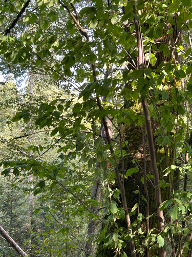
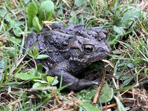
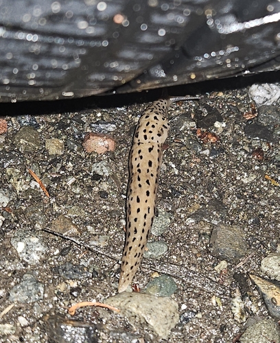
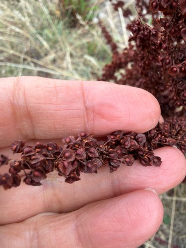
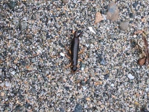
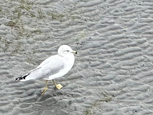
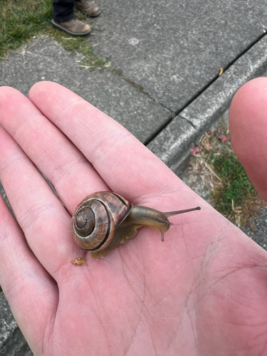
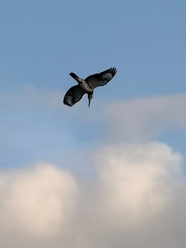
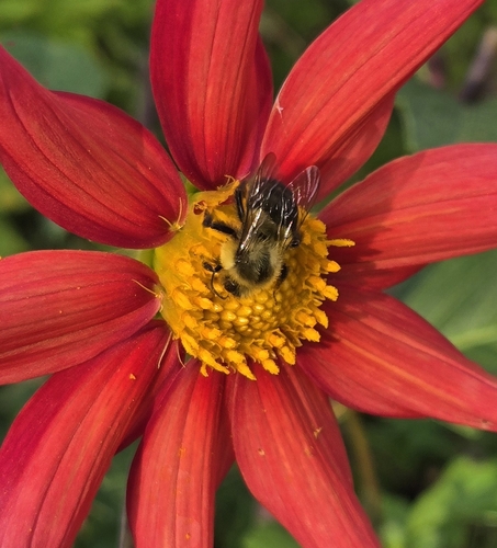
Research-grade observations from iNaturalist (within ~15 mi).
Nearest stream gauge
Live readings from USGS NWIS · measured 2026-09-27 11:30 UTC.
Events
Gallery
Sources
- • Wikipedia
- • NOAA National Weather Service
- • Wikidata
- • USGS Earthquake Catalog (global feed)
- • USGS NWIS (water data)
- • GBIF (Global Biodiversity Information Facility)
- • iNaturalist
- • Open-Meteo / sunrise-sunset.org
- • Wikipedia Pageviews API
- • Open Library
- • NASA EONET