Browse / United States / Washington / Concrete
Concrete
Washingtontown

Concrete
Total population
833
Median home value
$347,300
Bachelor's+
Median income
$81,719
Demographic figures from US Census Bureau · ACS 5-year estimates. Overview below cites Wikipedia and may reference a different year.
City facts
Facts from Wikidata (CC0).
Overview
Concrete is a town in north-central Skagit County, Washington, United States. It is part of the Mount Vernon-Anacortes, Washington Metropolitan Statistical Area, and had a population of 801 at the 2020 census.
Read more on WikipediaHistory & geography
History
The town of Concrete, Washington has undergone several incarnations, the earliest being a settlement at the northwestern junction of the Baker and Skagit Rivers, known as "Minnehaha." Amasa "Peg-Leg" Everett was one of the earliest settlers and in 1890, the townsite was platted by another settler, Magnus Miller. Shortly thereafter, a post office was established and the town name changed to "Baker." In 1905, a settlement across the Baker River came into being due to the building of the Washington Portland Cement Company and was named "Cement City." After the Superior Portland Cement Company plant was built in Baker in 1908, it was decided to merge the two towns. Inhabitants of the new community settled on the name "Concrete" and the town was so christened and officially incorporated on May 8, 1909.
Geography
According to the United States Census Bureau, the town has a total area of , of which, is land and is water. The town lies mostly on the north bank of the Skagit River, and is split into half by the lower Baker River (a tributary to the Skagit River). Mount Baker, a stratovolcano, lies northwest of Concrete and Mount Shuksan lies almost directly north. Both peaks are part of the North Cascades range. ===Climate=== The town has a warm summer Mediterranean climate (Csb) with cool winters and warm, mostly dry summers. Precipitation mostly comes in the form of rain in Concrete but occasional snow can be seen with about 20 inches falling per year.
Excerpted from the corresponding Wikipedia article (CC BY-SA).
Demographics & economy
Race & ethnicity
Source: US Census Bureau — American Community Survey, 5-year estimates.
Geography
Coordinates & boundaries from the US Census TIGER/Line shapefiles.
Climate
Air quality
Industrial & pollution facilities
Natural hazard risk
Health (adults)
Walkability
Amenities nearby
Wildlife & biodiversity
Schools
Earthquake history
Photos
Sights & places nearby
Notable people from here

People born within ~10 km, from Wikidata (CC0). Click any name for their Wikipedia article.
Nearby places in Washington
- Swede Heaven17.5 mi away · pop. 746
- Lake Cavanaugh19 mi away
- Darrington20.1 mi away
- Sedro-Woolley21.9 mi away
- Maple Falls30.8 mi away
- Canyon Creek31 mi away
- Granite Falls32.2 mi away
- Bay View32.5 mi away · pop. 572
- Sisco Heights33 mi away
- Northwest Stanwood33.1 mi away · pop. 72
- Peaceful Valley34 mi away
- Lochsloy35.2 mi away
Geography & sun
Elevation, sunrise/sunset and daylight from Open-Meteo. Solar climatology from NASA POWER.
Nearby airports
Public attention
Pageview totals from the Wikimedia Pageviews API.
Books about Concrete


Search results from Open Library.
Recent natural events nearby
- Wildfire Electric, Whatcom, WashingtonWildfires · 2026-08-22 · 17 mi
- Wildfire Thunder Creek, Skagit, WashingtonWildfires · 2026-08-22 · 33 mi
- Wildfire SISI, Chelan, WashingtonWildfires · 2026-08-14 · 44 mi
- Wildfire KING, Kittitas, WashingtonWildfires · 2026-08-19 · 77 mi
- Wildfire GOAT, Kittitas, WashingtonWildfires · 2026-08-22 · 81 mi
- Wildfire MITRE ROCK, Stevens, WashingtonWildfires · 2026-08-01 · 163 mi
- Wildfire HUDSPETH, Stevens, WashingtonWildfires · 2026-08-01 · 168 mi
- Wildfire Colwash, Yakima, WashingtonWildfires · 2026-08-22 · 178 mi
Wildfires, storms and other events from NASA EONET (last 12 months, within 250 mi).
Ground air-quality sensors
Recently spotted species
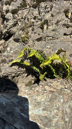
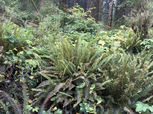
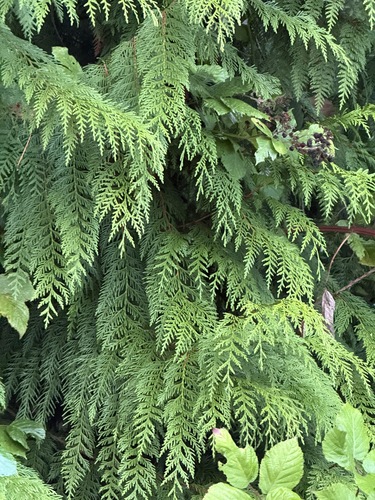
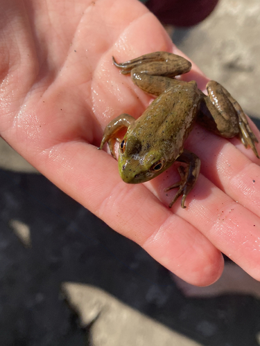
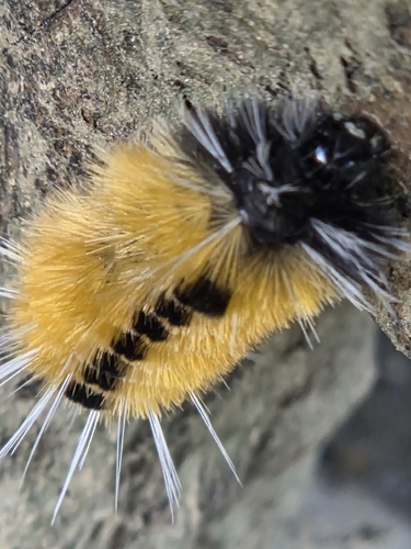
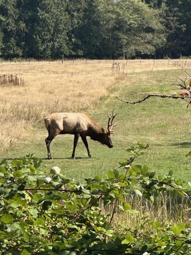
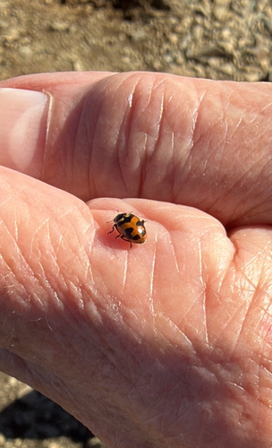
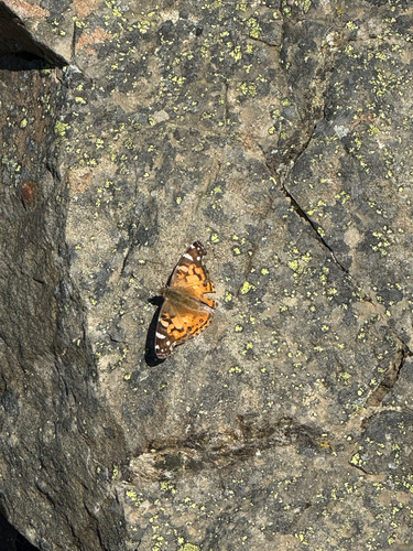
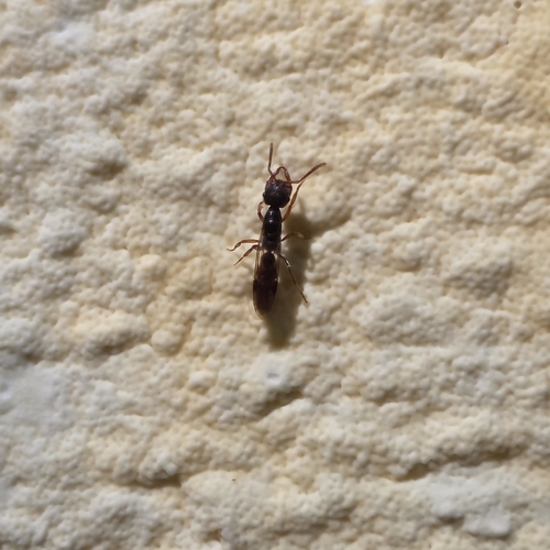
Research-grade observations from iNaturalist (within ~15 mi).
Nearest stream gauge
Live readings from USGS NWIS · measured 2026-09-25 18:30 UTC.
Events
Gallery
Sources
- • Wikipedia
- • US Census Bureau (ACS 5-year estimates)
- • Wikidata
- • USGS NWIS (water data)
- • iNaturalist
- • Open-Meteo / sunrise-sunset.org
- • Wikipedia Pageviews API
- • Open Library
- • NASA EONET