Browse / United States / Washington / Darrington
Darrington
Washingtontown

Darrington
Total population
1,412
Founded
1891
Demographic figures from US Census Bureau · ACS 5-year estimates. Overview below cites Wikipedia and may reference a different year.
City facts
Facts from Wikidata (CC0).
Overview
Darrington is a town in Snohomish County, Washington, United States. It is located in a North Cascades mountain valley formed by the Sauk and North Fork Stillaguamish rivers. Darrington is connected to nearby areas by State Route 530, which runs along the two rivers towards the city of Arlington, located 30 miles (48 km) to the west, and Rockport. It had a population of 1,462 at the 2020 census.
Read more on WikipediaHistory & geography
Geography
Darrington is located in the northeastern reach of Snohomish County in Western Washington, just south of the Skagit County border. It is east of Arlington, the nearest city, and northeast of Seattle. According to the U.S. Census Bureau, the town has a total area of , of which, is land and is water. Darrington is situated on a plain between the North Fork Stillaguamish River to the west and the Sauk River to the east. The plain was formed by lahar deposits from several eruptions of Glacier Peak, to the southeast. The area remains in the volcano's lahar hazard zone and also lies on a fault line that last produced a major earthquake less than 500 years ago. Soil in the Darrington area is primarily composed of glacial sands and gravels that have deposits of various mineral ores, including gold, silver, copper, lead, zinc, antimony, arsenic, mercury, and iron. Darrington has a general climate similar to most of the Puget Sound lowlands and the Cascades foothills, with dry summers and mild, rainy winters moderated by a marine influence from the Pacific Ocean. Temperatures in Darrington typically differ by approximately from Everett and other coastal cities in the county, with colder winters and warmer summers. Darrington also receives significantly more snowfall than other cities in the county due to being in the mountains, with 10 to 15 days on average and approximately of snowfall annually since 1911.
Excerpted from the corresponding Wikipedia article (CC BY-SA).
Demographics & economy
Geography
Coordinates & boundaries from the US Census TIGER/Line shapefiles.
Climate
Air quality
Industrial & pollution facilities
Natural hazard risk
Health (adults)
Age-adjusted prevalence estimates from CDC PLACES (latest release).
Walkability
Amenities nearby
Wildlife & biodiversity
Schools
Largest nearby schools
- Darrington Elementary SchoolElementary · DARRINGTON · 326 students · 16.3:1 ratio
- Darrington High SchoolHigh · DARRINGTON · 120 students · 13.3:1 ratio
Public K–12 schools within ~10 mi from Urban Institute Education Data Portal (NCES Common Core of Data, 2022).
Earthquake history
Photos
Sights & places nearby
Notable people from here

People born within ~10 km, from Wikidata (CC0). Click any name for their Wikipedia article.
Nearby places in Washington
- Swede Heaven4.9 mi away · pop. 746
- Lake Cavanaugh18.9 mi away
- Canyon Creek20.1 mi away
- Concrete20.1 mi away · pop. 833
- Granite Falls20.3 mi away
- Lochsloy24.2 mi away
- Sisco Heights25.1 mi away
- Lake Cassidy25.6 mi away
- Machias27.6 mi away
- May Creek28 mi away
- Gold Bar28.1 mi away
- Chain Lake30.2 mi away · pop. 4,950
Geography & sun
Nearby airports
Public attention
Books about this place
Recent natural events nearby
- Wildfire Electric, Whatcom, WashingtonWildfires · 2026-08-22 · 28 mi
- Wildfire Thunder Creek, Skagit, WashingtonWildfires · 2026-08-22 · 33 mi
- Wildfire SISI, Chelan, WashingtonWildfires · 2026-08-14 · 36 mi
- Wildfire KING, Kittitas, WashingtonWildfires · 2026-08-19 · 57 mi
- Wildfire GOAT, Kittitas, WashingtonWildfires · 2026-08-22 · 61 mi
- Wildfire MITRE ROCK, Stevens, WashingtonWildfires · 2026-08-01 · 153 mi
- Wildfire Colwash, Yakima, WashingtonWildfires · 2026-08-22 · 158 mi
- Wildfire HUDSPETH, Stevens, WashingtonWildfires · 2026-08-01 · 159 mi
Wildfires, storms and other events from NASA EONET (last 12 months, within 250 mi).
Ground air-quality sensors
Recently spotted species
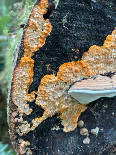
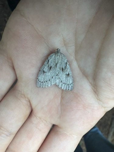
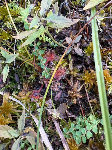
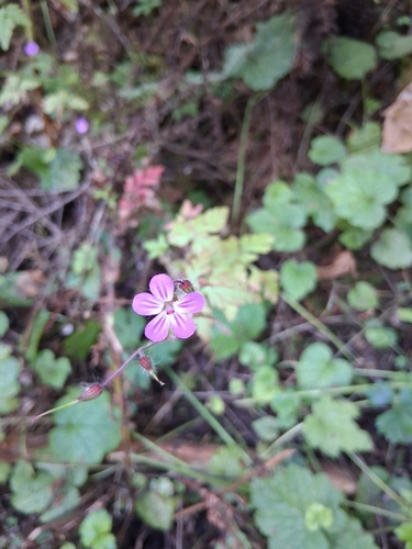
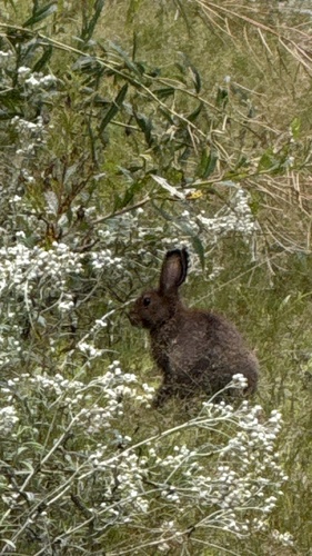
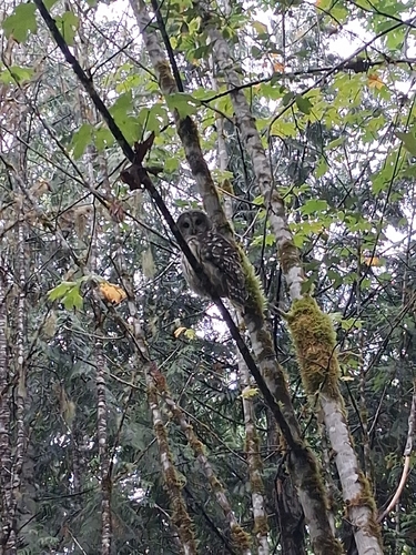
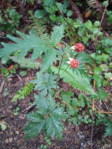
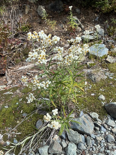
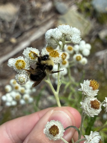
Research-grade observations from iNaturalist (within ~15 mi).
Nearest stream gauge
Live readings from USGS NWIS · measured 2026-09-25 18:45 UTC.
Events
Gallery
Sources
- • Wikipedia
- • Wikidata
- • USGS NWIS (water data)
- • NCES via Urban Institute Education Data Portal
- • iNaturalist
- • CDC PLACES
- • NASA EONET