Browse / United States / Washington / Bothell
Bothell
Washingtoncity

Bothell
Total population
49,610
Median home value
$925,100
Bachelor's+
Median income
$140,427
Founded
1870
Demographic figures from US Census Bureau · ACS 5-year estimates. Overview below cites Wikipedia and may reference a different year.
City facts
Facts from Wikidata (CC0).
Overview
Bothell is a city in King and Snohomish counties in the U.S. state of Washington. It is part of the Seattle metropolitan area, situated near the northeast end of Lake Washington in the Eastside region. It had a population of 48,161 residents as of the 2020 census.
Read more on WikipediaHistory & geography
History
The Sammamish River valley from Lake Washington to Issaquah Creek was first inhabited by the indigenous Sammamish people (), a Coast Salish group with an estimated population of 80 to 200 around 1850. The Sammamish had a major winter village, , at the mouth of the Sammamish River, between what is now Bothell and Kenmore. Although the Sammamish resisted removal efforts by settlers, they were eventually removed to Fort Kitsap following the 1855–1856 Puget Sound War. Some Sammamish continued to live in the area and worked as laborers and farmers, but the village of was later destroyed. The first Homestead Act claims to modern-day Bothell were filed in 1870 by Columbus S. Greenleaf and George R. Wilson, an English immigrant, on adjoining plots of land. The area along the lower Sammamish River, then named Squak Slough, was mostly marshlands and had not been surveyed at the time of Wilson's arrival; Greenleaf filed for his claim in June 1870 on land that Wilson had originally sought. Eight families settled in the area in the next six years and were followed by Canadian businessman George Brackett, who began commercial logging in 1877 on on the modern-day site of Wayne Golf Course. The settlement was named for the Bothell family by the first postmaster Gerhard Ericksen, who had bought the boarding house property. At the time, the town had a population of 599 residents, a bank, four general stores, and three saloons. Steamship traffic on the Sammamish River waned after the arrival of the railroad and completion of the Pacific Highway. The river itself was dredged and straightened by the Army Corps of Engineers in 1916. The water level on Lake Washington was lowered by by the opening of the Lake Washington Ship Canal in Seattle the following year; the lowering prevented…
Geography
Bothell is located along the Sammamish River near its mouth at the northeast end of Lake Washington. It is one of six cities in Washington that are in multiple counties, as the city straddles King and Snohomish counties. The boundary between the counties is at Northeast 205th Street / 244th Street Southwest; because most streets in Bothell are numbered and not named, north–south streets that cross the county line often change numbers. According to the United States Census Bureau, the city of Bothell has a total area of , all of it classified as land. The city's western border with Kenmore follows 86th and 84th avenues, with the exception of Inglemoor High School; within Snohomish County, the western border follows 7th Place West. The northern city limits of Bothell is defined by 216th Street Southwest on the west side of Interstate 405 and State Route 524 (Maltby Road) through Thrasher's Corner. The eastern boundary follows 35th Avenue Southeast in Snohomish County; on the King County site, it is shared with Woodinville and follows 130th Avenue Northeast on the north side of the Sammamish River and 124th Avenue Northeast on the south side of the river. The southern border with Kirkland follows Simonds Road and Northeast 145th Street to Interstate 405 and jumps north to follow part of the Tolt pipeline right-of-way. The city's urban growth area in Snohomish County includes unincorporated areas that border Brier to the west and Mill Creek to the north. Most of the city lies in the drainage basins of the Sammamish River or its tributaries North Creek and Swamp Creek; a portion also lies in the Juanita Creek basin, which drains directly into Lake Washington. These creeks are also home to spawning Kokanee salmon, Chinook salmon, bull trout, and other freshwater fish. The…
Excerpted from the corresponding Wikipedia article (CC BY-SA).
Demographics & economy
Race & ethnicity
Source: US Census Bureau — American Community Survey, 5-year estimates.
Geography
Coordinates & boundaries from the US Census TIGER/Line shapefiles.
Climate
Current forecast
Forecast for Bothell, WA from NOAA NWS API.
Air quality
Industrial & pollution facilities
Natural hazard risk
Health (adults)
Age-adjusted prevalence estimates from CDC PLACES (latest release).
Walkability
Amenities nearby
Wildlife & biodiversity
Most-observed species
- American CrowCorvus brachyrhynchos C.L.Brehm, 1822 · Aves165,267
- Black-capped ChickadeePoecile atricapillus (Linnaeus, 1766) · Aves127,258
- Dark-eyed JuncoJunco hyemalis (Linnaeus, 1758) · Aves126,532
- Song SparrowMelospiza melodia (A.Wilson, 1810) · Aves122,950
- American RobinTurdus migratorius Linnaeus, 1766 · Aves112,719
- Anna's HummingbirdCalypte anna (R.Lesson, 1829) · Aves102,127
- Spotted TowheePipilo maculatus Swainson, 1827 · Aves94,805
- MallardAnas platyrhynchos Linnaeus, 1758 · Aves86,429
Citizen-science & research observations from the Global Biodiversity Information Facility (GBIF).
Schools
Largest nearby schools
- Redmond High SchoolHigh · Redmond · 2,218 students · 21.1:1 ratio
- Lake Washington High SchoolHigh · Kirkland · 2,015 students · 21:1 ratio
- Bothell High SchoolHigh · Bothell · 1,764 students · 19.8:1 ratio
- Juanita High SchoolHigh · Kirkland · 1,695 students · 19.5:1 ratio
- Woodinville HSHigh · Woodinville · 1,621 students · 21.1:1 ratio
- Inglemoor HSHigh · Kenmore · 1,542 students · 19.5:1 ratio
- Roosevelt High SchoolHigh · SEATTLE · 1,541 students · 20.5:1 ratio
- Shorewood High SchoolHigh · Shoreline · 1,538 students · 23.3:1 ratio
Public K–12 schools within ~10 mi from Urban Institute Education Data Portal (NCES Common Core of Data, 2022).
Earthquake history
Most recent
- M 2.64 — 2026-10-155 km SW of Wilderness Rim, Washington
- M 2.65 — 2026-10-145 km WSW of Wilderness Rim, Washington
- M 4.15 — 2026-09-296 km WNW of Wauna, Washington
- M 2.56 — 2026-09-122 km ENE of Mount Vernon, Washington
- M 2.51 — 2026-08-0911 km SSW of River Road, Washington
- M 3.8 — 2026-07-022 km E of Oak Harbor, Washington
Events from the USGS Earthquake Catalog (global) (FDSN Event Web Service).
Photos
Sights & places nearby
Notable people from here
Nearby places in Washington
- Kenmore2.6 mi away · pop. 23,741
- Brier3.5 mi away · pop. 6,545
- Lake Forest Park4.2 mi away · pop. 13,335
- Mill Creek East4.4 mi away · pop. 25,453
- Clearview4.7 mi away · pop. 3,254
- Mountlake Terrace4.8 mi away · pop. 21,286
- Maltby5 mi away
- Martha Lake5.1 mi away · pop. 22,634
- Picnic Point8.6 mi away · pop. 10,261
- Woodway8.6 mi away · pop. 1,251
- Clyde Hill9.9 mi away · pop. 3,119
- Medina10.3 mi away · pop. 2,928
Geography & sun
Elevation, sunrise/sunset and daylight from Open-Meteo. Solar climatology from NASA POWER.
Nearby airports
Public attention
Pageview totals from the Wikimedia Pageviews API.
Books about Bothell

Search results from Open Library.
Recent natural events nearby
- Wildfire KING, Kittitas, WashingtonWildfires · 2026-08-19 · 49 mi
- Wildfire GOAT, Kittitas, WashingtonWildfires · 2026-08-22 · 58 mi
- Wildfire Electric, Whatcom, WashingtonWildfires · 2026-08-22 · 70 mi
- Wildfire SISI, Chelan, WashingtonWildfires · 2026-08-14 · 75 mi
- Wildfire Thunder Creek, Skagit, WashingtonWildfires · 2026-08-22 · 76 mi
- Wildfire Colwash, Yakima, WashingtonWildfires · 2026-08-22 · 145 mi
- Wildfire SECOND STREET, Benton, WashingtonWildfires · 2026-09-25 · 166 mi
- Wildfire MITRE ROCK, Stevens, WashingtonWildfires · 2026-08-01 · 180 mi
Wildfires, storms and other events from NASA EONET (last 12 months, within 250 mi).
Ground air-quality sensors
Recently spotted species
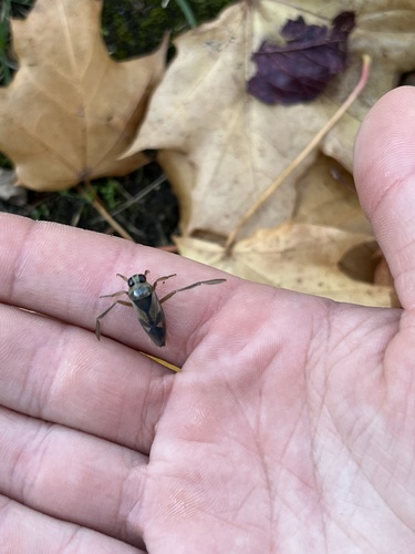
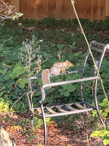
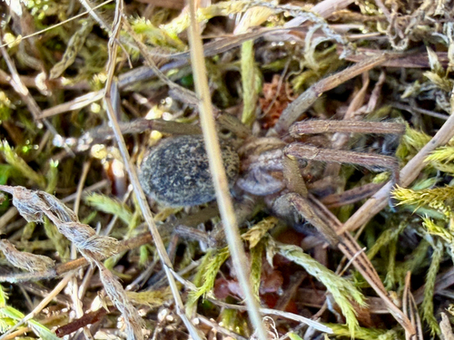
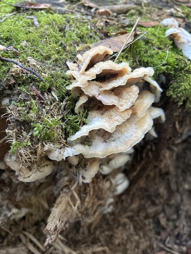
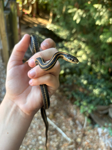
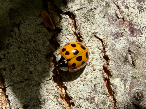
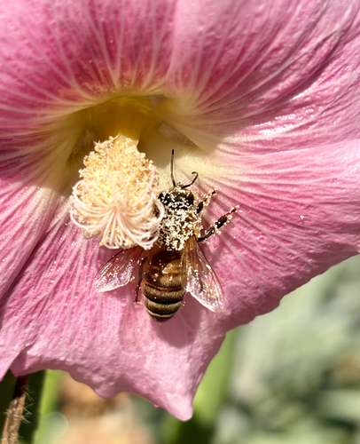
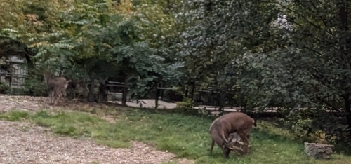
Research-grade observations from iNaturalist (within ~15 mi).
Nearest stream gauge
Live readings from USGS NWIS · measured 2026-10-16 05:15 UTC.
Events
Gallery
Sources
- • Wikipedia
- • US Census Bureau (ACS 5-year estimates)
- • NOAA National Weather Service
- • Wikidata
- • USGS Earthquake Catalog (global feed)
- • USGS NWIS (water data)
- • NCES via Urban Institute Education Data Portal
- • GBIF (Global Biodiversity Information Facility)
- • iNaturalist
- • CDC PLACES
- • Open-Meteo / sunrise-sunset.org
- • Wikipedia Pageviews API
- • Open Library
- • NASA EONET